

Washington County Ohio Land for Sale
230 Oxbow Lane, Newport, OH | Lat/Lng: 39.4732, -81.2432
$268,000
67 ac.
08/11/2026
ACTIVE
Description
Washington County Ohio Land for Sale
Call Buckeye Land Pro Tyler Haessly at 740-525-4582 to schedule your showing!
Land for Sale in Ohio
For Sale: 67 Acres, 230 Oxbow Lane, Newport, Ohio (Tract 2 of 4)
Call Ohio Land Pro Tyler Haessly today at 740-525-4582 for your own private showing.
Tract Two is 67 acres as mapped of timbered ridge and hillside, the big woods block on the west side of a four tract split in the Archers Fork valley, eastern Washington County, Ohio.
This is the tract you buy for cover.
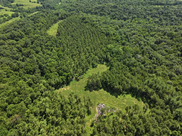
Hardwood timber stands over nearly the whole of it, and the ground underneath runs ridge, bench, hollow and back up again the way this Appalachian plateau country always does.
The soil map reads it as Upshur association, very stony, on 25 to 70 percent slopes, which is exactly the steep, rocky, hard to reach ground that holds deer.
There are benched openings cut into the timber up top, and an elevated box blind already sits on one of them.
The seller reports food plots, blinds, stands and a trail system across this property, along with harvestable timber.
An interior lane runs the length of the hollow and gives you a way in without walking your scent through the middle of the tract.
Down at the bottom a creek runs through a stone lined cut with a mowed lane beside it, so you have water and an access road in the same corridor.
Gravel road frontage serves the property and electric is at the road.
Wooded tracts this size move in this corner of the county.
Two of them just east of here at New Matamoras, one 40 acres and one 53 acres with the national forest at the line, are both already sold.
This is Wayne National Forest country, the Marietta Unit covers this stretch of the county, and the seller reports the property borders the national forest.
The Archers Fork Trail runs this same valley, a rugged backcountry loop past the Irish Run Natural Bridge and the Great Cave, and the North Country National Scenic Trail and Ohio's Buckeye Trail share its tread.
Southeast Ohio's forested hill counties are the deer country of this state, and Washington County is one of them.
Marietta, the county seat, is 17.4 miles and about 31 minutes out, and New Matamoras on the Ohio River is 14.6 miles, call it 27 minutes.
Sixty seven acres in one block, with timber on it and public land country all around it, is the kind of tract a man buys once and hunts for thirty years.
Give Ohio Land Pro Tyler Haessly a call today at 740-525-4582 for more details about this exceptional property and to schedule your private tour.
Ohio Land for Sale Details:
• Acreage: 67 acres as mapped
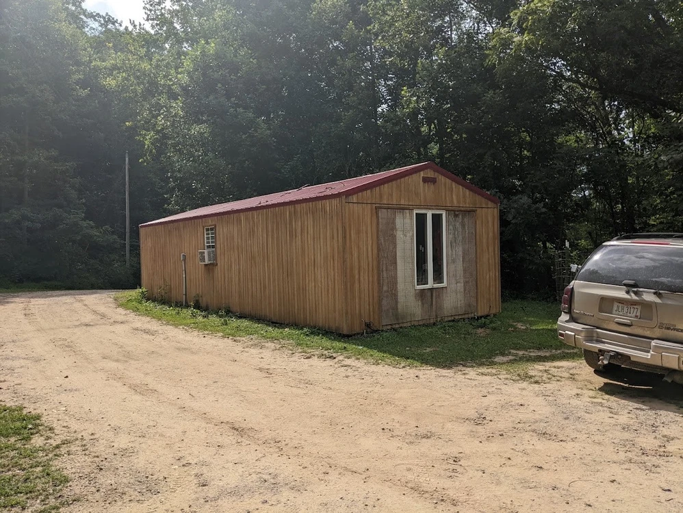
• Structures: none on this tract. An elevated box blind sits on a benched opening, visible in the aerial footage
• Utilities: electric at the road, per the seller. Water, septic and broadband service TBD
• Road access: gravel road frontage, per the seller, plus an interior lane running the hollow. The valley is served by Archers Fork Road (CR 14), County Nine Road (CR 9) and Bear Run Road (CR 25)
• Water: creek running a stone lined cut at the low end of the tract, visible in the aerial footage
• Hunting infrastructure: the seller reports food plots, blinds, stands and a trail system across the property; a box blind and benched openings are visible in the footage
• Timber: the seller reports harvestable timber on the property
• Mineral rights: partially reserved. The seller reports mineral rights are owned and very negotiable, with oil and gas rights only being reserved, and those negotiable as well
• Parcel #: TBD
• Township: Independence Township
• School district: TBD
• Coordinates (tract centroid): 39.472326, -81.244984
• Annual taxes: TBD
• Zoning and building eligibility: TBD
• Soil (as mapped, verify at USDA Web Soil Survey): Upshur association, very stony, 25 to 70 percent slopes, land capability class 7s
• County land use class (as mapped, verify at the Washington County Auditor): AGRICULTURAL
Local Attractions:
• Wayne National Forest, Marietta Unit, covers this stretch of eastern Washington County; national forest ground sits roughly 1.5 miles off the center of this valley
• Archers Fork Trail, a 9.5 to 14 mile backcountry loop rated among the most rugged in the Wayne, with the Irish Run Natural Bridge and the Great Cave on it, linking to loops near 30 miles
• North Country National Scenic Trail and Ohio's Buckeye Trail, which share tread with the Archers Fork loop through this valley
• Covered Bridge Scenic Byway, State Route 26, 35 interpreted miles along the Little Muskingum River with four covered bridges including the 1879 Hune Bridge, a few road miles west
• Little Muskingum River corridor, fed by Archers Fork out of this valley
• New Matamoras on the Ohio River, about 14.6 miles and 27 minutes
• Marietta, the Washington County seat and a full service river town founded in 1788, about 17.4 miles and 31 minutes
• Showings STRICTLY by appointment only
• Licensed Agent MUST be present for all showings
• All information deemed reliable but not guaranteed
Listing Agent:
Name: Tyler Haessly
Phone: 740-525-4582
Details
County: Washington
Zipcode: 45767
Property Type One: Recreational Property
Property Type Two: Residential Property
Property Type Three: Hunting Land
Brokerage: Buckeye Land Sales
Brokerage Link: www.buckeyelandsales.com

Buckeye Sales
Buckeye Land Sales
(866) 341-5263
By clicking the button, you agree to our Terms of Use and Privacy Policy.


Nearby Listings
Morgan County, OH
Auction - 250 ac.
Washington County, OH
$520,000 - 104 ac.
Washington County, OH
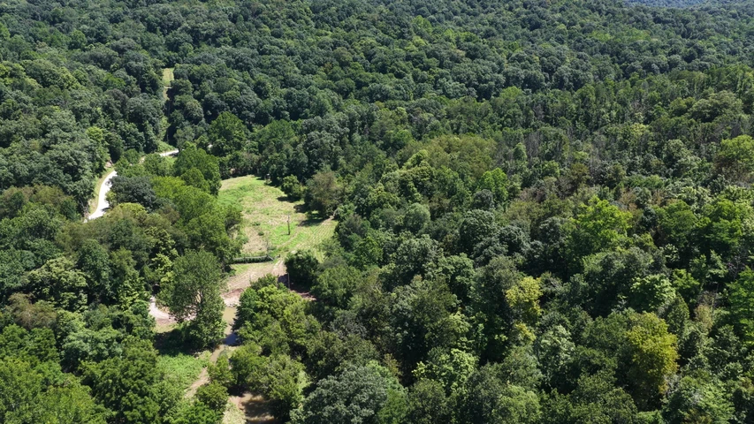
$160,000 - 35 ac.
Washington County, OH
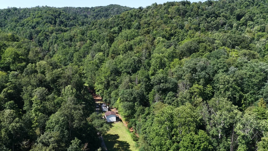
$150,000 - 5 ac.
Monroe County, OH
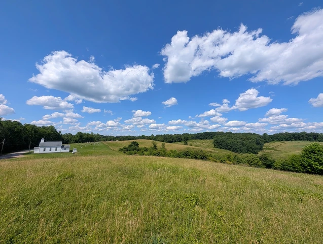
No Price - 86 ac.
Morgan County, OH
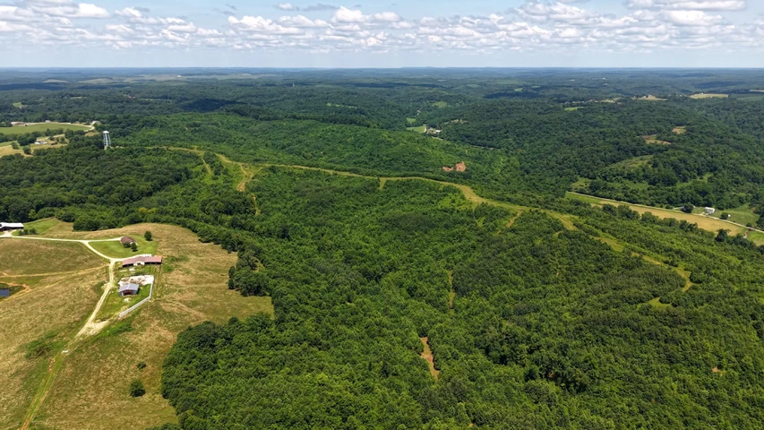
$899,000 - 225 ac.
Morgan County, OH
$1,999,000 - 375 ac.
Washington County, OH
$75,000 - 13 ac.
Monroe County, OH
$975,000 - 136 ac.
Monroe County, OH
$174,900 - 40 ac.