
Calhoun 110
Hwy 9, Banner, MS | Lat/Lng: 34.0273, -89.3512
$275,000
110 ac.
05/04/2026
ACTIVE

Description
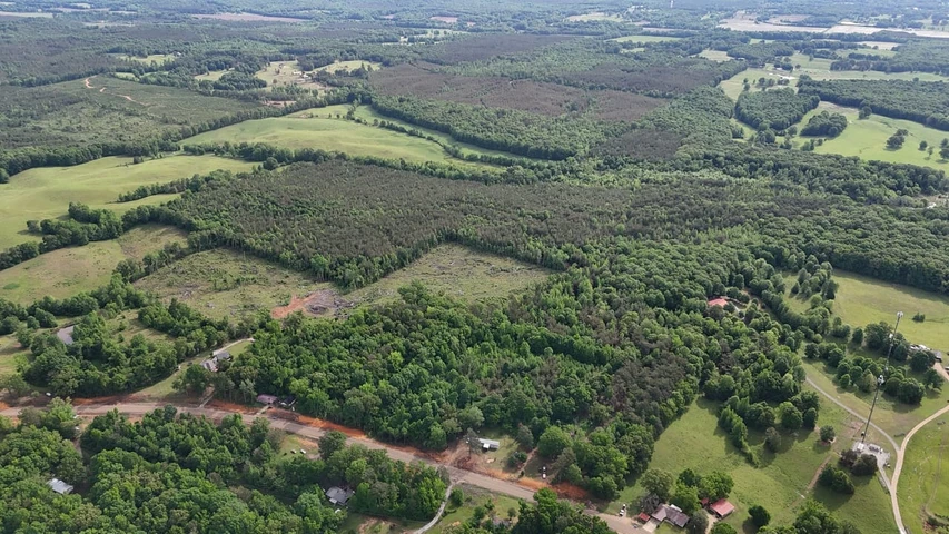
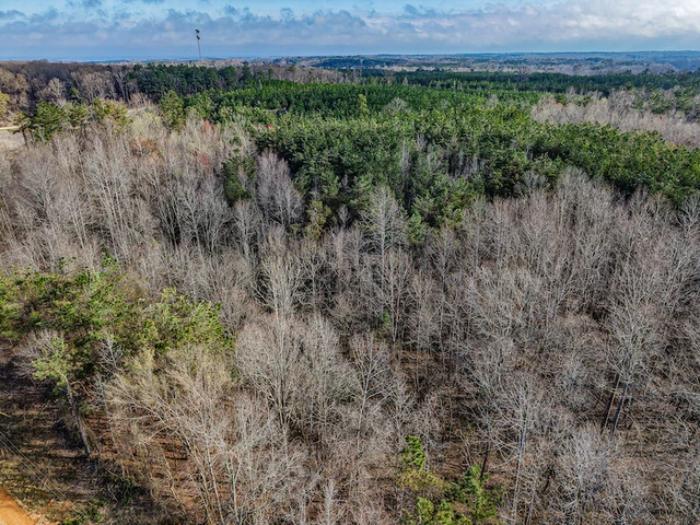
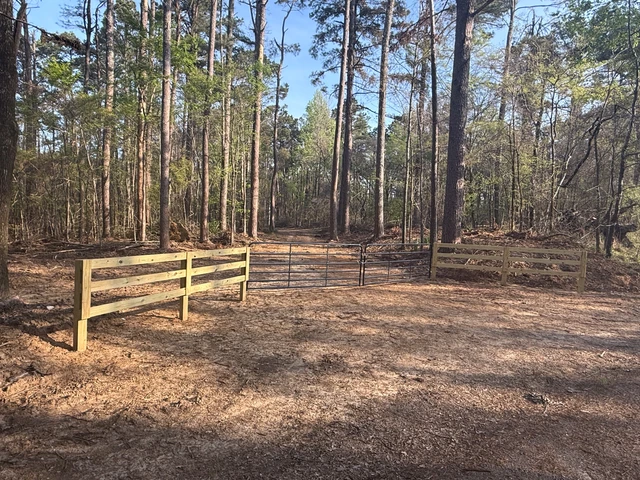
Welcome to the Calhoun 110! If you're looking for a solid piece of ground in Calhoun County that checks all the boxes for hunting, timber, and potential homesites, this 110 acre tract just north of Bruce, Mississippi, deserves a hard look. Situated along Highway 9, about 2.6 miles north of town, the Calhoun 110 offers both convenience and seclusion. Access is easy with frontage on the highway, and there's an additional deeded easement that gives you a second entry point-always a valuable feature whether you're thinking about hunting pressure or future improvements.
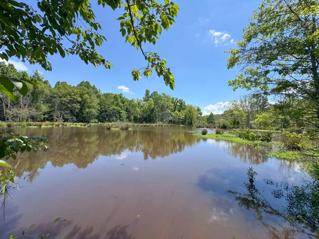
The land itself lays out well, with a good internal road system that makes getting around the property simple and practical. A creek runs through the place, complete with a crossing, adding both character and function. Down along the creek bottom, you'll find a mix of hardwoods that break up the predominantly pine timber, giving the tract the diversity that wildlife loves.
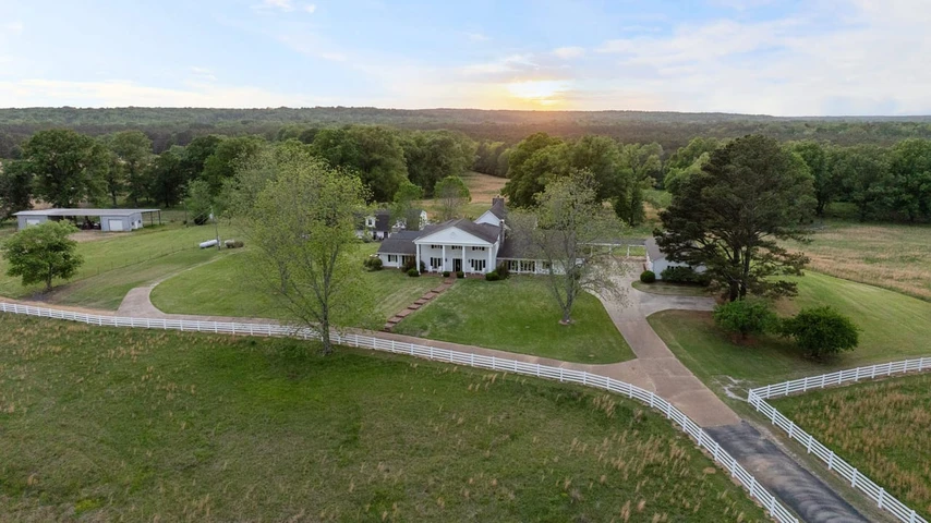
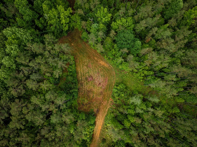
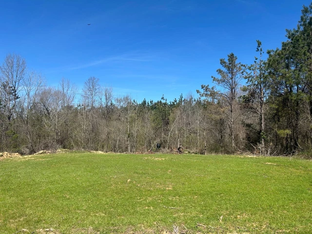
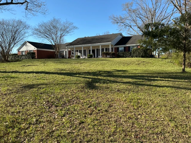
For the sportsman, the Calhoun 110 has what you want. There's an established population of deer and turkey, and a slough area that holds water part of the year offers real potential for duck hunting with a little work. It's the kind of setup that can be enjoyed as-is or improved into something even better over time. Roughly 21 acres of cutover provide opportunity-whether you're thinking about replanting, creating food plots, or carving out a homesite. Speaking of that, there are several spots on the property that would make great cabin or home locations, especially with utilities available nearby.
All in all, the Calhoun 110 is a well-rounded tract with good access, strong recreational appeal, and long-term potential. Whether you're looking for a hunting property, a timber investment, or a place to put down roots in the country, this one is worth your consideration.
Contact Hunter Robison or Luke Gossett today to schedule a private showing and experience #TheSmallTownWay.
Location:
Highway 9
Banner, MS 38913
Calhoun County
2.6 Miles N of Bruce
28.1 Miles SE of Oxford
28.7 Miles SW of Pontotoc
Coordinates:
34.0273, -89.35115
Property Use:
Hunting
Recreational
Investment
Potential Home/Cabin Site
Property Information:
110 Total Acres
21 Acres of Cutover
Internal Road System
Mixed Timber
Creek Frontage
Creek Bottom
Slough
Turkey/Deer/Duck
Utilities Available
Tax Information:
Parcel #1: 140400-011-00-18
Parcel #2: 080600-013-00-13
Parcel #3: 140400-009-00-19
Parcel #4: 140400-006-00-19
Parcel #5: 080600-003-00-24
2025 Taxes: $377.22
Details
County: Calhoun
Zipcode: 38913
Property Type One: Recreational Property
Property Type Two: Hunting Land
Brokerage: Smalltown Hunting Properties & Real Estate
Brokerage Link: www.smalltownproperties.com/agent/hunter-robison/

Hunter Robison
Smalltown Hunting Properties & Real Estate
(662) 238-4077
By clicking the button, you agree to our Terms of Use and Privacy Policy.


Nearby Listings
Chickasaw County, MS
$4,250,000 - 744 ac.
Yalobusha County, MS

$369,500 - 74 ac.
Yalobusha County, MS
$745,000 - 230 ac.
Calhoun County, MS
$396,000 - 182 ac.
Pontotoc County, MS
$175,000 - 73 ac.
Chickasaw County, MS

$249,000 - 102 ac.
Pontotoc County, MS
$229,900 - 69 ac.
Grenada County, MS
$387,500 - 155 ac.
Grenada County, MS

$175,000 - 70 ac.
Montgomery County, MS
$1,297,000 - 133 ac.