

475+/- Acres: Cedar County, NE
886 Rd, Wynot, NE | Lat/Lng: 42.6856, -97.1692
$3,500,000
475 ac.
07/26/2026
ACTIVE
Description
Property Overview
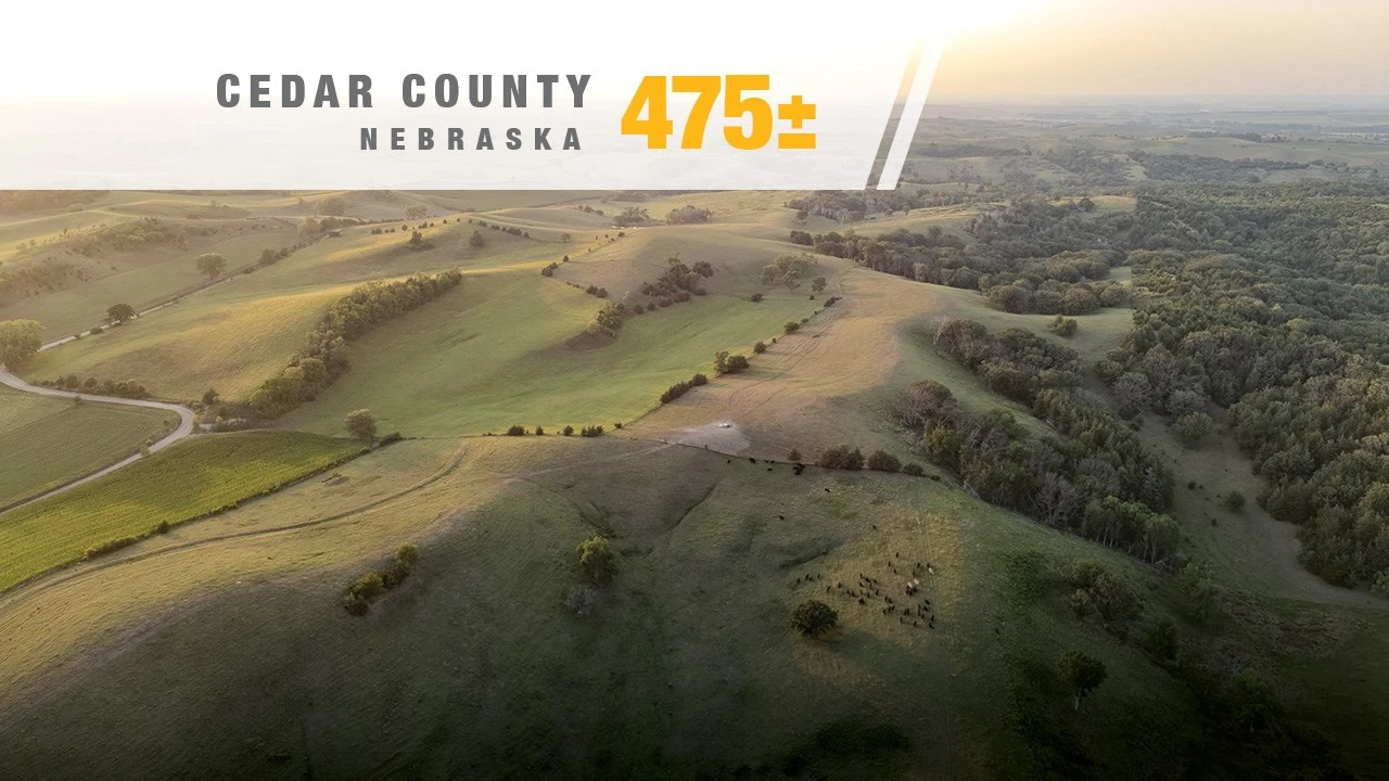
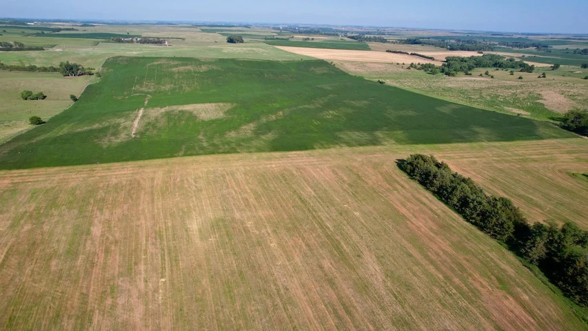
Tract 3 presents the opportunity to acquire the entire 475± acre property as one contiguous agricultural and recreational landholding.
The property combines 157.63 acres currently in crop production with extensive pasture, strong fencing, established livestock infrastructure, Bow Creek and timbered wildlife habitat. This combination provides multiple forms of agricultural utility and long-term value within one Cedar County property.
Whether added to an established agricultural operation, maintained as a diversified land investment or purchased for farming, grazing, and recreation, Tract 3 offers exceptional scale and versatility.
Listing Agent:
Josh Anderson
402.685.9760
Property Highlights
Gross Acres: 475±, subject to survey
FSA Farmland: 456.56 acres
Total FSA Cropland: 204.16 acres
Currently Farmed: 157.63 acres
FSA Cropland Currently Used as Pasture: 46.53 acres
Pasture and Timber: 264.65 acres
Bow Creek, Timber and Recreation: 33.75 acres
Average Cropland NCCPI: 70.28
Grazing Rotations: Three
Livestock Water: One 78-foot well, three newer stock tanks and one stock dam currently holding water
Fencing: Excellent fencing surrounding the pasture
Existing Improvement: Agricultural shed within the northern pasture
Road Access: 568th Avenue, 569th Avenue and 886th Road
School District: Hartington-Newcastle
Possession: 2027
Listing Price: $3,500,000
FSA Acreage & Current Land Use
FSA records identify 456.56 farmland acres and 204.16 cropland acres within the property.
Of the 204.16 FSA cropland acres:
157.63 acres are currently in crop production
46.53 acres are presently incorporated into the pasture
The 46.53 FSA cropland acres currently used as pasture are included within the stated pasture and timber acreage and should not be added separately when calculating the property’s total acreage.
Land-use figures are based on FSA records and current-use estimates. Because certain classifications overlap, these figures should not be added together to determine the property’s final surveyed acreage.
Cropland & Soils
The property contains 157.63 acres currently in crop production.
The farmed acres are divided between:
South Cropland: 132.50 acres with an average NCCPI of 71.81
North Cropland: 25.13 acres with an average NCCPI of 62.76
The 2026 FSA farm record identifies 55.80 corn base acres and 55.80 soybean base acres.
Pasture & Livestock Improvements
The property contains 264.65 acres of pasture and timber divided into three grazing rotations. The pasture is supported by established livestock infrastructure, including:
One 78-foot well
Three newer stock tanks
Two stock dams currently holding water
Excellent fencing surrounding the pasture
Together, these improvements provide an established foundation for continued cattle and livestock production while supporting efficient grazing and forage management.
Bow Creek, Timber & Recreation
The property includes approximately 33.75 acres of Bow Creek, timber and recreational habitat through its southern portion.
Bow Creek, timbered draws, pasture and adjoining cropland provide water, cover and natural travel corridors for deer, turkey and other wildlife. These features give the property meaningful recreational appeal while complementing its agricultural production.
Existing Shed
An existing agricultural shed is located near the southeast corner of the northern pasture, providing useful space for equipment, supplies and agricultural storage.
Location & Access
The property is situated approximately six miles northeast of Hartington and three miles south of Wynot in Cedar County, Nebraska.
Road frontage and access are provided from 568th Avenue, 569th Avenue and 886th Road, offering convenient access to the property’s cropland and pasture.
Parcel Breakdown
Tract 3 consists of all parcels comprising Tracts 1 and 2.
Final acreage, boundaries and legal descriptions will be determined by survey.
Possession & Rental Income
The property is leased for the 2026 agricultural season. Closing may occur in 2026; however, possession of the cropland and pasture will be delivered in 2027 following the expiration of the current lease arrangements.
The seller will retain all 2026 rental income. Exact closing and possession terms will be set forth in the purchase agreement.
Offering Structure
The property is being offered simultaneously as:
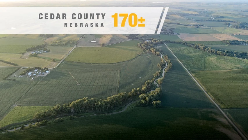
Tract 1: South Cropland – 170± acres
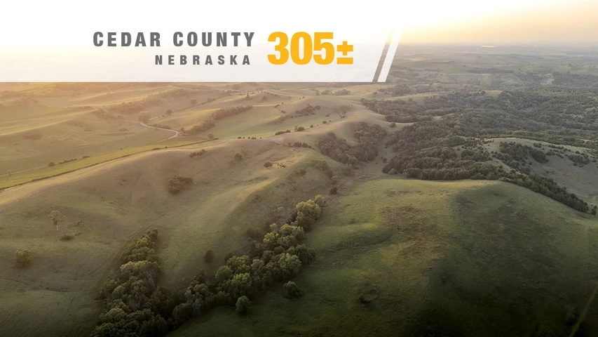
Tract 2: North Pasture – 305± acres
Tract 3: Entire Property – 475± acres
This structure gives buyers the opportunity to pursue an individual tract or acquire the entire property as one contiguous agricultural and recreational landholding.
Survey, Taxes & FSA Records
Tract 3 is being marketed as 475± acres. Final acreage, boundaries and legal descriptions will be determined by survey.
Current annual real estate taxes for the entire property are approximately $8,588.56, based on available property records.
Details
County: Cedar
Zipcode: 68792
Property Type One: Farms
Property Type Two: Timberland
Property Type Three: Hunting Land
Brokerage: KILOTERRA | Land Sales & Auctions
Brokerage Link: www.kiloterra.com

KILOTERRA KILOTERRA
KILOTERRA | Land Sales & Auctions
(515) 993-7800
By clicking the button, you agree to our Terms of Use and Privacy Policy.


Nearby Listings
Clay County, SD

$795,000 - 4 ac.
Knox County, NE
$389,900 - 1 ac.
Knox County, NE

$62,000 - 2 ac.
Dixon County, NE

$549,000 - 40 ac.
Bon Homme County, SD
$395,000 - 45 ac.
Cedar County, NE
$1,080,000 - 173 ac.
Yankton County, SD
$1,300,000 - 6 ac.
Cedar County, NE
$1,650,000 - 305 ac.
Cedar County, NE
$1,850,000 - 170 ac.
Cedar County, NE
$615,720 - 73 ac.