
Starry Skies & Route 66: Your 1.14 Acre Adventure Awaits
2310 S Avondale Rd, Valle, AZ | Lat/Lng: 35.6245, -112.0858
$14,525
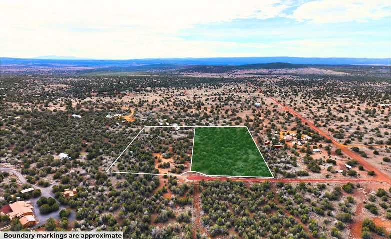
1.14 ac.
01/29/2026
ACTIVE

Description
OWNER FINANCING AVAILABLE:
$175 down (plus the $250 doc fee)
$175/mo for 82 months
---------------------------------
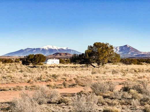
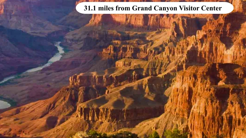
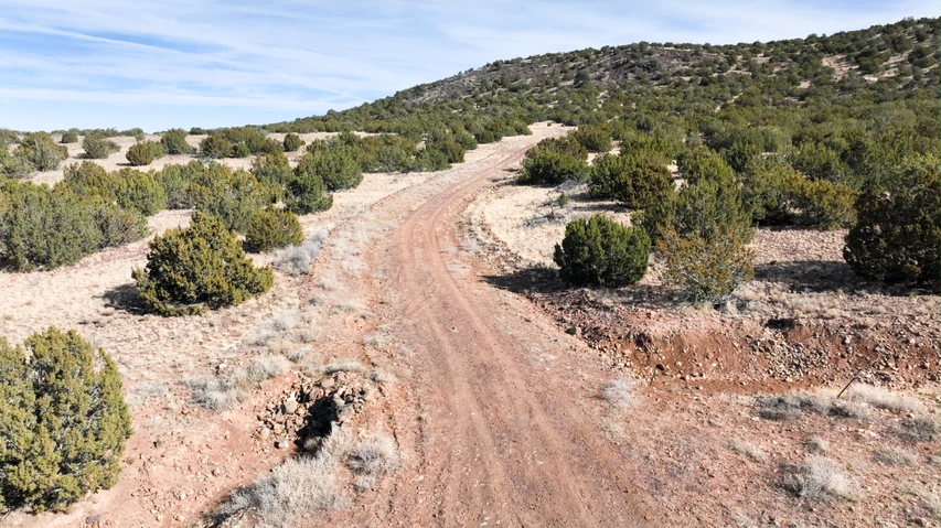
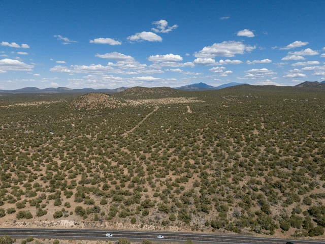
Are you ready to own land near one of America's most famous natural wonders? This 1.14-acre property sits close to Williams, AZ, just 45 minutes from the Grand Canyon South Rim. Thousands of visitors travel through this area every year, making it perfect for a personal getaway or a rental property that brings in income.
Williams offers small-town charm with restaurants, shops, and friendly neighbors. You can visit the Arizona Snowbowl for winter sports, just 58 minutes away, or see animals at Bearizona Wildlife Park, only 39 minutes from your land. Every weekend brings new activities and experiences.
This isn't just buying land. You're choosing a lifestyle that values freedom, nature, and simple living. You're investing in a future where you control your own space and time.
We offer flexible financing options that make owning land easier than you think. Our Peace of Mind Guarantee means you can buy with confidence. This property gives you a real piece of America to call your own.
Are you ready to make this land yours? Start building the life you've always wanted in Arizona. Contact us today and take the first step toward owning your own property near the Grand Canyon.
SUBDIVISION: GRAND CANYON UNIT 06
STREET ADDRESS: 2310 S Avondale Rd, Williams, AZ, 86046
STATE: AZ
COUNTY: Coconino County, AZ
ZIP: 86046
SIZE: 1.14 acres
LOT DIMENSIONS: 473 feet (Western Leg) x 252 feet (Eastern Leg) x 400 feet (Southern Leg)
APN: 501-29-084
LEGAL DESCRIPTION: GRAND CANYON UNIT 06 Lot:187
LAT/LONG COORDINATES:
NW: 35.624502, -112.085848
NE: 35.623820, -112.087192
SW: 35.623821, -112.085845
SE:
Additional Coordinates:
NE: 35.624502, -112.085848
SW: 35.623820, -112.087192
SE: 35.623821, -112.085845
ELEVATION: 6,063 feet
ANNUAL TAXES: Approx. $95 per year
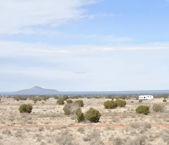
ZONING: AR - Agr. Res.- 1AC min. - This zone is intended to accommodate low-density residential Uses with minimum Lot Sizes of 1 acre as well as light agricultural activities that are related to rural Family living and pursuits.There is no time limit to build. You can camp on your own property.You can bring your RV on your lot and stay there upon building a home. You just need to dispose of sewage properly and legally.Mobile homes are not allowed, but you can have a site built home, a modular home or manufactured home.For more information, contact the planning department at 928-679-8869.
LAND USE:
***BUILDING INFORMATION***
Time Limit to Build: No
Site Built Homes Allowed: Yes
Modular Homes Allowed: Yes
Manufactured Homes Allowed: Yes
Mobile Homes Allowed: No
Tiny Homes Allowed: Yes if they meet County Building Code, no minimum size but must meet the Building Code tiny house standards
***ALLOWABLE USES***
Full-Time RV Living: Yes with approval of a Conditional Use Permit
RV on the property while you build: Yes with a Temporary Use Permit, can be renewed for the duration of the building project
Camping in a RV: Yes for 120 days with approval of a Temporary Use Permit
Camping in a Tent: No
FLOOD ZONE: No
HOA/POA: No HOA information or covenants found online.
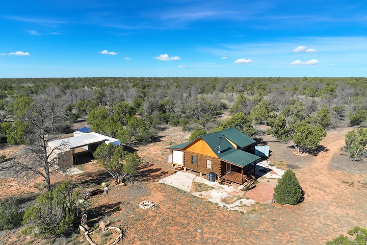
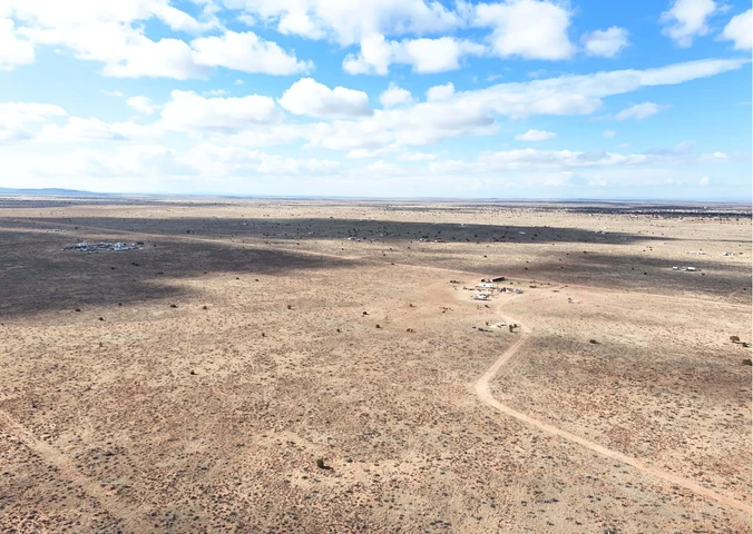
IMPROVEMENTS: None
ACCESS: The property can be accessed via Avondale Rd.
WATER: Would be a well, water haul and holding tank or other similar option
SEWER: Would be by Septic
UTILITIES: Power by solar, wind or generator, Phone by cellular, satellite TV/Internet/Phone
Details
County: Coconino
Zipcode: 86046
Property Type One: Recreational Property
Property Type Two: Residential Property
Property Type Three: Undeveloped Land
Brokerage: Landopia
Brokerage Link: www.landopia.com
Apn: 50129084

Landopia Landopia
Landopia
(615) 987-0908
By clicking the button, you agree to our Terms of Use and Privacy Policy.


Nearby Listings
Coconino County, AZ
$229,999 - 21 ac.
Coconino County, AZ
$43,999 - 5 ac.
Coconino County, AZ
$199 - 1 ac.
Coconino County, AZ
$89,000 - 36 ac.
Coconino County, AZ
$15,499 - 1 ac.
Coconino County, AZ

$5,000,000 - 100 ac.
Coconino County, AZ
$17,999 - 5 ac.
Coconino County, AZ
$6,997 - 2 ac.
Coconino County, AZ

$16,999 - 1 ac.
Coconino County, AZ

$39,000 - 4 ac.