
Hot Deal Sharp County Arkansas- Log Cabin Ready in 0.37 Acres for $50 Down
18 Longhorn Drive, Williford, AR | Lat/Lng: 36.3116, -91.3923
$1,521
0.37 ac.
09/03/2025
ACTIVE

Description
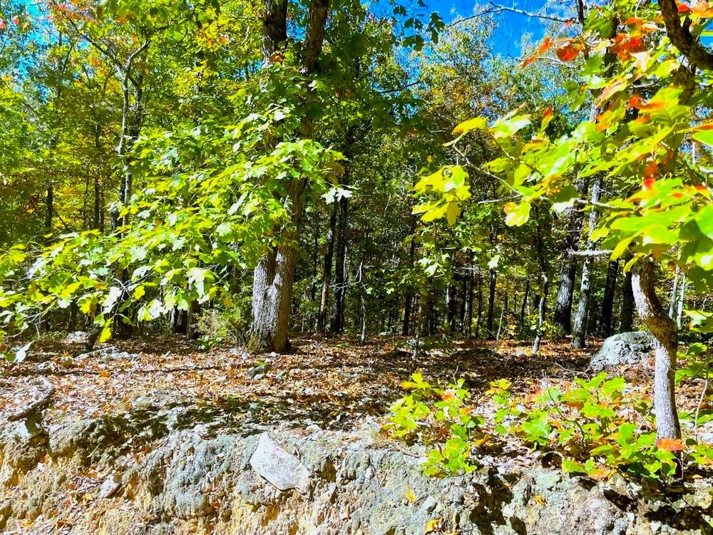
This 0.37-acre parcel is located on Crescent Dr in Williford, Arkansas, zoned for residential use, and is perfect for building a custom home with annual property taxes at just $107.
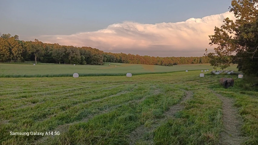
The land features a beautiful, slightly sloped terrain with trees and easy access to major highways like US Hwy 412 and Rt-175. Youll be just minutes from Cherokee Village, Hardy, and Ash Flat, offering convenience to nearby attractions such as Mammoth Spring State Park and Hackney Creek Covered Bridge.
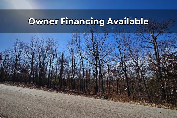
We will finance it for you with NO INTEREST! No credit check is required with Low monthly payments. It's way easier than you think!
** ACTUAL PHOTOS OF THE PROPERTY **
Zero-Interest Easy Owner Financing! No credit checks and no banks are required. Contact us NOW at 828-738-2598 for more details.
Property Details:
Property Address: Crescent Dr, Williford, AR 72482
APN: 468-00071-000
Size: 0.37 acres
Subdivision: Oak Forrest Addition
Zoning: Vacant Residential Land
Annual Property Taxes: $107.01
HOA/Fees: HOA in the area. Suburban Improvement District (SID), the dues are varied. To get more information you can contact them at 870-257-2468.
Camping/Notes: No Camping is allowed.
RVs/Notes: RVs are not allowed.
Mobile Home/Notes: Mobile homes are not allowed in this Subdivision.
Conveyance: Warranty Deed
Water: Contact Clear water Utility Management Services at 888-776-0334.
Sewer/Septic: Septic. Contact the County Development of Health at 870-994-7364.
Electric/ Power: Contact North Arkansas Electric Co-Op at (870) 994- 2191.
Gas: Use propane gas.
Waste: Contact Waste Correction at 870-994-7000 or Glisson Waste Management at (870) 892-5128.
Access Road: Longhorn Dr
Road Surface: Dirt
Terrain Type: Slightly Sloped, Treed.
GPS Coordinates (4 corners):
NW: 3618'42.18"N,9123'33.54"W Elevation 634 FT
NE: 3618'41.93"N,9123'31.08"W Elevation 662 FT
SE: 3618'41.26"N,9123'31.22"W Elevation 648 FT
SW: 3618'41.47"N,9123'33.1"W Elevation 634 FT
Approximate Distance to Nearby Cities & Points of Interest:
Closest Highways: US Hwy- 412, Rt-175.
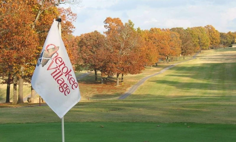
Closest Major Cities: Cherokee Village, Hardy, Ash Flat.
Nearby Attractions: Mammoth Spring State Park, Hackney Creek Covered Bridge, Highland Park, Depot Museum, The Raven, Grand Gulf State Park, Tohi Trail, Holiday World & Splashin' Safari.
- Guaranteed financing
- No Credit Check
- No Bank or Broker fee
- 60-day money back guarantee
- Warranty Deed
- Guaranteed free and clear title
We offer owner financing with multiple options that fit any budget. Contact us a call today and don't forget to ask about our 60-day money back guarantee.
Purchase Options:
Owner Financing: $99 Down/$79 monthly fee x 18 months
Price: $1,521
Closing Fee: $249 (due with a down payment and non-refundable)
Additional monthly fees: $10 monthly note maintenance fee and pro-rated property taxes
**Dont hesitate to reach out today**
Details
County: Sharp
Zipcode: 72482
Property Type One: Recreational Property
Property Type Two: Residential Property
Property Type Three: Undeveloped Land
Brokerage: Blue Sky Land Sales
Brokerage Link: www.blueskylandsales.com

Robert Belcher
Blue Sky Land Sales
(828) 738-2598
By clicking the button, you agree to our Terms of Use and Privacy Policy.


Nearby Listings
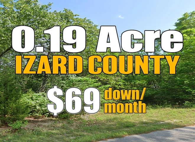
Izard County, AR
$3,365 - 0 ac.
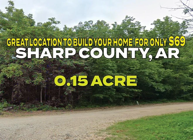
Sharp County, AR
$995,000 - 110 ac.
Sharp County, AR

$405,000 - 160 ac.
Fulton County, AR
$29,739 - 1 ac.
Howell County, MO
$1,999,900 - 428 ac.
Sharp County, AR
$1,949 - 0 ac.
Izard County, AR
$1,949 - 0 ac.
Fulton County, AR
$20,000 - 5 ac.
Fulton County, AR
$1,450,000 - 315 ac.
Sharp County, AR
$199,000 - 10 ac.