

112± Acres Of Pasture And Timber Near Canton
10446 Farm to Market 859, Edgewood, TX | Lat/Lng: 32.6354, -95.8796
$935,000
112 ac.
08/13/2026
ACTIVE
Description
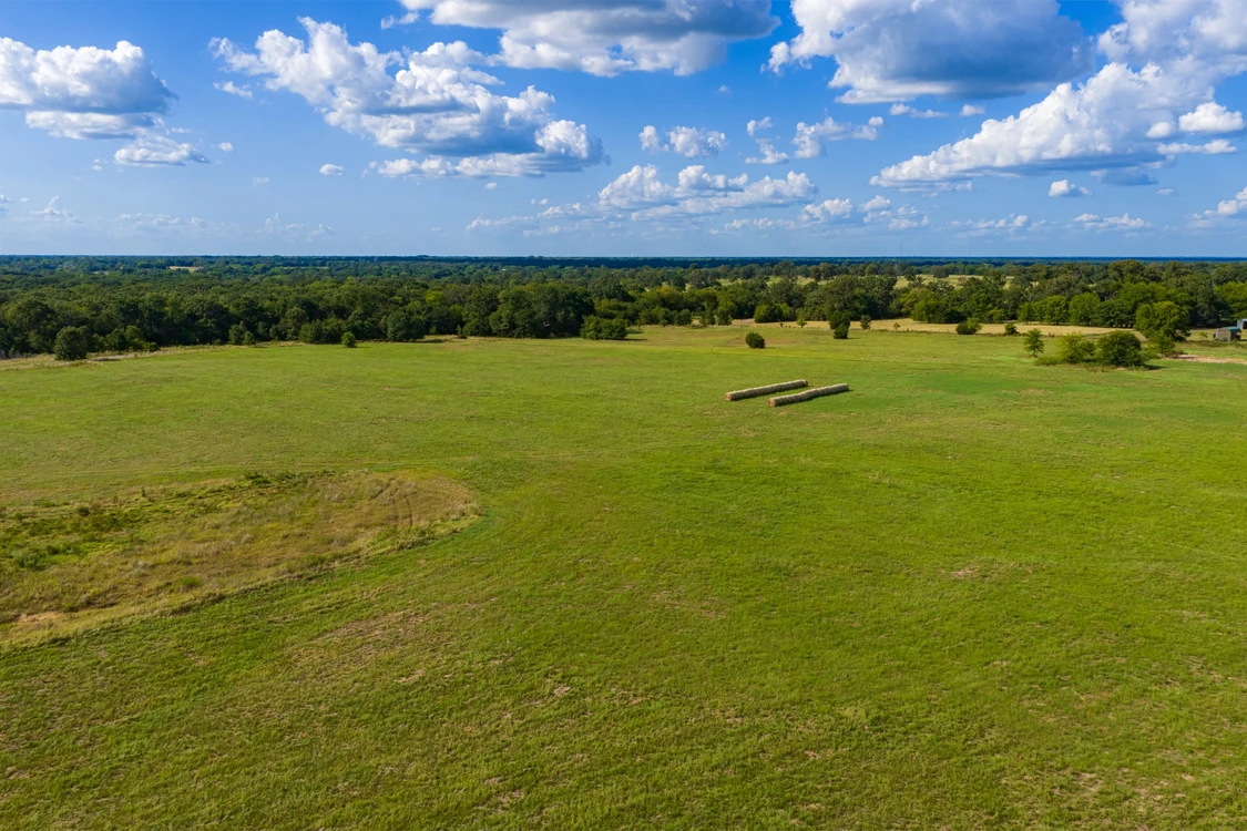
A balanced mix of open pasture, mature hardwood timber, rolling terrain, and multiple ponds gives this property the versatility to serve as a working ranch, recreational retreat, or future homesite.
The eastern portion opens along FM 859 with broad, gently rolling pasture and convenient access. Moving west, the landscape transitions through scattered trees and natural funnels into a substantial wooded interior. Elevation changes become more pronounced toward the back of the tract, adding character, privacy, and scenic views that are increasingly difficult to find within an easy drive of Interstate 20 and Canton.
Two ponds add practical and recreational value, while the combination of grass, edge habitat, timber, and wooded draws creates a diverse setting for livestock, wildlife, and outdoor use. Existing open areas provide room for grazing, hay production, a homesite, or future improvements, subject to a buyer’s independent verification of utilities, soils, restrictions, and intended use.
The property’s layout is especially appealing: road frontage and open ground provide accessibility, while the timbered interior offers seclusion. A buyer could establish a residence, barndominium, ranch headquarters, or weekend base near the front, then enjoy the western timber as a private recreational area with trails, hunting setups, or quiet gathering spaces.
For someone seeking a manageable combination of productive pasture and beautiful woods, this tract offers a compelling foundation. Its varied terrain, ponds, mature timber, and proximity to major travel routes create the kind of flexibility that can support both everyday country living and long-term land ownership goals.
Details:
Frontage and access along FM 859
Located north of Interstate 20 and northeast of Canton
Broad open pasture suitable for grazing, hay production, or future improvements
Substantial mature hardwood timber
Rolling terrain with more pronounced elevation changes in the wooded western portion
Two ponds visible in current aerial mapping and property photography
Scattered trees, wooded draws, and strong edge habitat
Multiple potential homesite locations, subject to independent site evaluation and applicable requirements
Potential for ranching, recreation, hunting, hiking, horseback riding, and trail development
Existing utility corridors are visible near portions of the property; service & availability should be verified
Property boundaries shown in marketing maps are approximate and subject to survey
The information contained herein is deemed reliable but is not warranted or guaranteed by the Broker, its Agents, or the Seller. Access to property, access to utilities, or any measurements including but not limited to, acreage, square footage, frontage, and mapping boundary lines shared herein has not been independently verified and is for purposes of marketing only. If exact measurements, access to property, or access to utilities is a concern, the property should be independently measured or investigated by the prospective buyer.
Details
County: Van Zandt
Zipcode: 75117
Property Type One: Ranches
Property Type Two: Recreational Property
Property Type Three: Residential Property
Brokerage: Whitetail Properties Real Estate
Brokerage Link: https://www.whitetailproperties.com/agents/aaron-ablondi?utm_medium=affiliate&utm_source=landnetwork
Apn: R000010896

Aaron Ablondi
Whitetail Properties Real Estate
(903) 804-5150
By clicking the button, you agree to our Terms of Use and Privacy Policy.


Nearby Listings
Van Zandt County, TX
$2,349,500 - 115 ac.
Van Zandt County, TX
$99,900 - 5 ac.
Smith County, TX
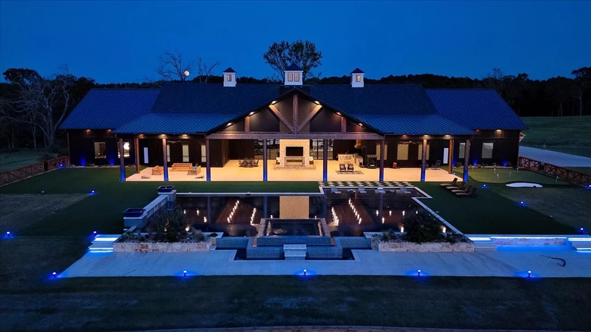
$9,750,000 - 333 ac.
Van Zandt County, TX
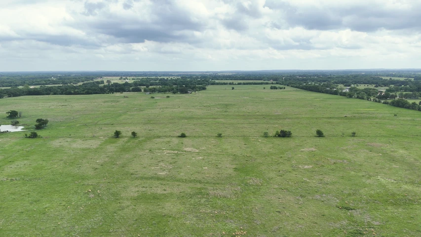
$9,600,000 - 640 ac.
Rains County, TX
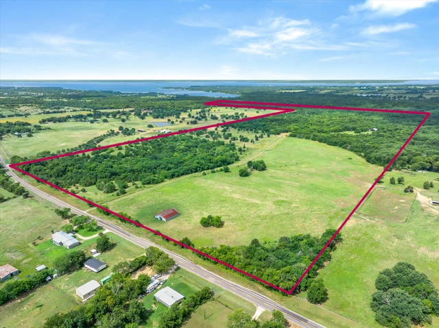
$2,435,620 - 221 ac.
Hopkins County, TX
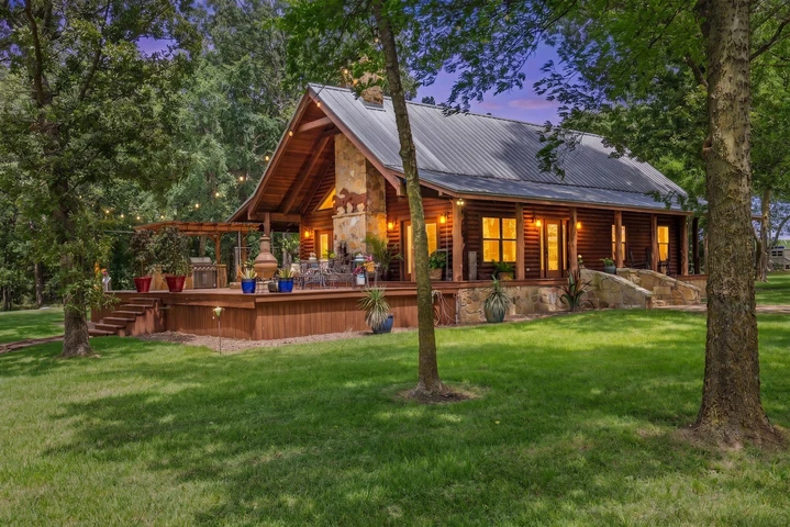
$3,152,340 - 273 ac.
Rains County, TX
$8,220,000 - 975 ac.
Kaufman County, TX
$2,250,000 - 117 ac.
Henderson County, TX
$2,325,000 - 129 ac.
Rains County, TX
$1,850,000 - 8 ac.