
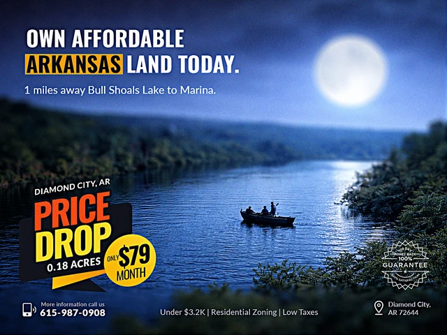
Land by Bull Shoals Invites Both!
W Pine St, Diamond City, AR | Lat/Lng: 36.4513, -92.9147
$3,185
0.18 ac.
05/18/2026
ACTIVE

Description
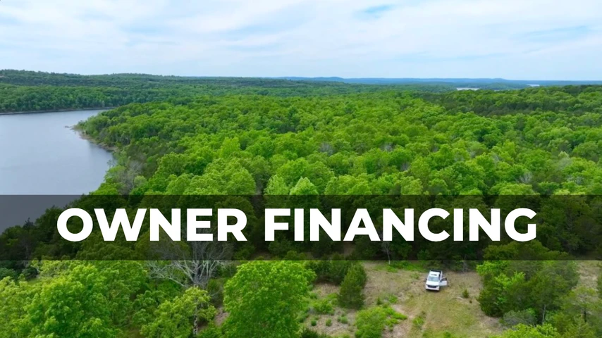
OWNER FINANCING AVAILABLE:
$25 down (plus the $250 doc fee)
$79/mo for 40 months
---------------------------------
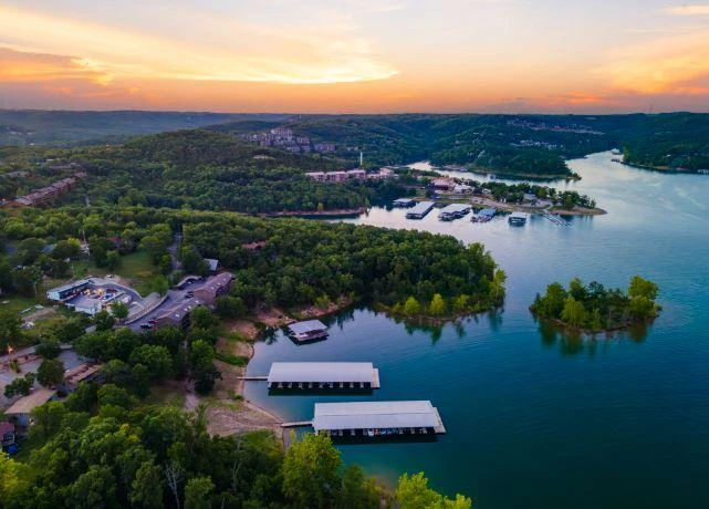
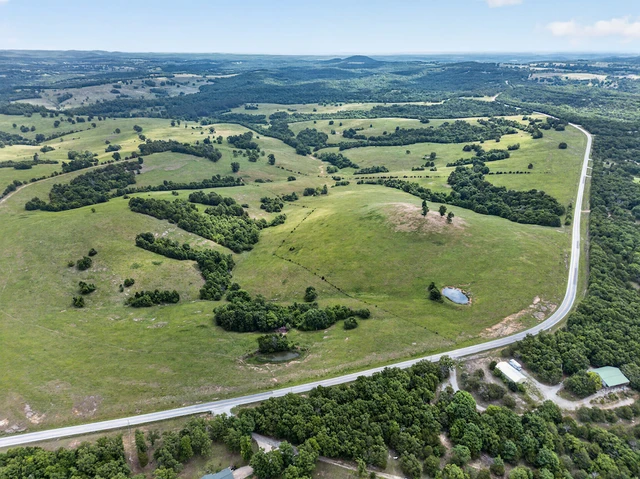
Are you ready for a weekend adventure that transforms your lifestyle? Picture owning 0.18 acres of paradise just steps away from legendary Bull Shoals Lake. Whether youre a thrill-seeker or someone who craves serenity, this piece of real estate offers everything from adrenaline-pumping activities like boating and fishing to the spellbinding calm of lakeside relaxation. This property is your ultimate ticket to freedom and unforgettable fun.
With only 23 miles separating you from Harrison, escape the daily grind with ease. Plus, being just 38 miles from Branson ensures you're never far from world-class entertainment, shopping, and dining. Whether it's creating unforgettable family memories or enjoying peaceful solo escapes, this land redefines the art of combining adventure with tranquility.
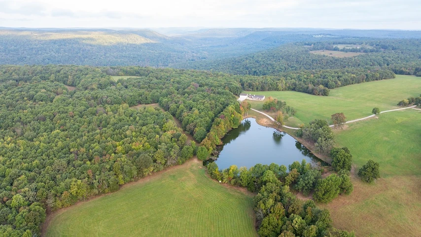
Nestled near Bull Shoals Lake, this locale boasts rich history and natural beauty. Its crystal-clear waters have made it a cherished destination for outdoor buffs over the decades. Whether its kayaking, fishing, or savoring a lazy lakeside picnic, the area offers an abundance of options for relaxation and outdoor play.
With its gently rolling terrain and lush greenery, this property provides an untouched canvas for your dreams. Visualize a cozy cabin, a weekend RV retreat, or a minimalist camping site amidst this picturesque backdrop. The land offers boundless potential, with the lake on the horizon and the limitless sky overhead.
STREET ADDRESS: N/A, near W Pine St, Diamond City, AR 72644
STATE: AR
COUNTY: Boone County, AR
ZIP: 72644
SIZE: 0.18 acres
LOT DIMENSIONS: 68 feet x 150 feet
APN: 775-01327-000
LEGAL DESCRIPTION: Lot Sixteen (16), Block Thirteen (13), Diamond Point Subdivision II, Boone County, Arkansas. Subject to all Restrictions, Reservations, Easements and Rights-of-Way of record.
LAT/LONG COORDINATES:
NW: 36.451251, -92.914675
NE: 36.451251, -92.914446
SW: 36.450843, -92.914675
SE: 36.450840, -92.914440
ELEVATION: 839 feet
ANNUAL TAXES: Approx. $95 per year
ZONING: R-1 - Site built and manufactured (on concrete slab with plumbing) homes are okay. Minimum of 800 sq foot for a home. No time limit to build. No wells permitted in city limits. You can live in a RV while building. Live in it up to 6 months. Setbacks: Front Yard to structure: 25 feet, Side Yard to structure: 5 feet. (Corner Lots - Front Yard to structure: 25 feet, Side Yard to structure: 10 feet) For more information, please contact Diamond City Administration Department through Phone No: (870)422-7212 or the Mayor of Diamond City, Jamie Neussner at Phone No: 870-741-9000
FLOOD ZONE: No
HOA/POA: No
IMPROVEMENTS: None
ACCESS: The property can be accessed via W Pine St.
WATER: They do have a water deposit of $250.00. Water tap is $1000.00
SEWER: Sewer Tap is $1000.00.
UTILITIES: There are power lines along W Pine St. Phone by cellular, satellite TV/Internet/Phone
Details
County: Boone
Zipcode: 72644
Property Type One: Recreational Property
Property Type Two: Residential Property
Property Type Three: Undeveloped Land
Brokerage: Landopia
Brokerage Link: www.landopia.com

Landopia Landopia
Landopia
(615) 987-0908
By clicking the button, you agree to our Terms of Use and Privacy Policy.


Nearby Listings
Boone County, AR
$5,900,000 - 1435 ac.
Ozark County, MO
$4,784 - 0 ac.
Marion County, AR
$115,000 - 39 ac.
Ozark County, MO
$3,999,000 - 1171 ac.
Marion County, AR
$129,500 - 12 ac.
Ozark County, MO

$1,997 - 0 ac.
Ozark County, MO

$1,997 - 0 ac.
Ozark County, MO

$3,700 - 0 ac.
Ozark County, MO

$1,997 - 0 ac.
Ozark County, MO

$7,920 - 0 ac.