

CRP For Sale Parcel #3
Vacant Land, Arriba, CO | Lat/Lng: 39.5699, -103.2797
$172,000
160 ac.
08/12/2026
ACTIVE
Description
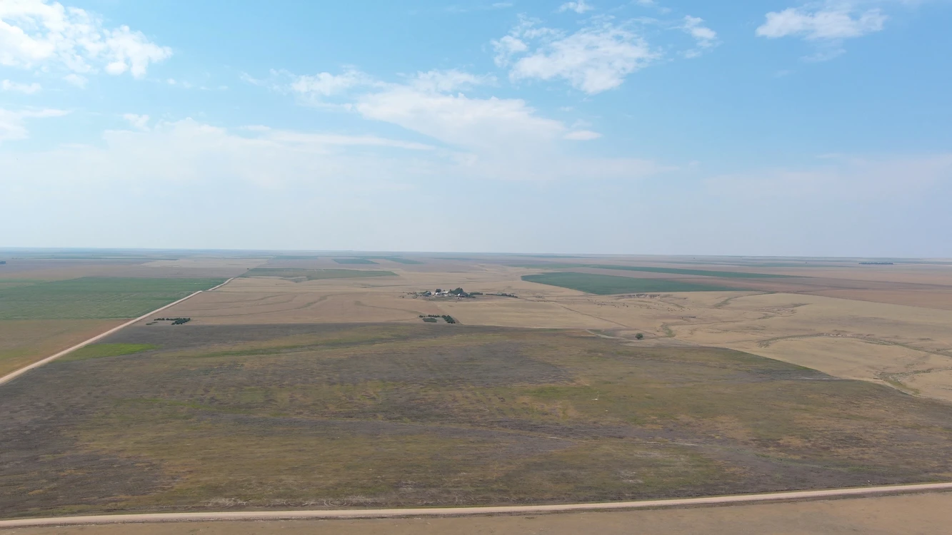
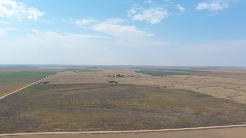
160.00± total acres in Washington County, Colorado —148.97± acres enrolled in CRP, 11.03± acres rds/creek bottom. Annual CRP payment of $6,182 annually at $41.50/ac, expires 9/30/2033; 2025 R/E taxes $159.20. Located 19.5± mi north of Arriba and/or 12± mi south, 3± mi west of Anton. Co Rd 4D forms the south boundary, Co Rd Z east. Level to rolling terrain with newly seeded grass cover and creek bottom hunting habitat, GMU 107 — pronghorn antelope, mule deer, whitetail deer, and upland birds; qualifies for Colorado Landowner Preference. Possession upon closing. Seller to convey all owned mineral rights. CRP payment received by Buyer is negotiated depending on time of year the property sells.
160± total acres , Washington County, CO
148.97 acres enrolled in CRP
11.03± acres rds/creek bottom
CRP payment $6,182 annually at $41.50/ac
Contract expires 9/30/2033
2025 R/E taxes $159.20, $1.00/acre
Level to rolling terrain, (seeded within last 2 years)
GMU 107 — pronghorn antelope, mule deer, whitetail deer, upland birds
Qualifies for Colorado Landowner Preference
Legal: SE1/4 Sec 35, T5S, R53W, Washington County, CO
Asking Price $172,000
SALE TERMS AND CONDITIONS:
POSSESSION: Possession upon closing.
WATER RIGHTS: Seller to convey all water rights appurtenant to the property.
MINERAL RIGHTS: Seller conveys all OWNED mineral rights
REAL ESTATE TAXES: 2026 real estate taxes due in 2027, negotiated depending on time of year property sells.
CRP: CRP payment received by buyer negotiated depending on time of year property sells
LEGAL DESCRIPTION: Legal descriptions are subject to existing fence/field boundaries or land-use trades, if any.
ACREAGES: All stated acreages are approximate and are obtained from County Assessor records. No warranty is expressed or implied as to exact acreages of property and the final purchase price is for the total parcel without regard to exact acreage.
TERMS: Good funds at closing.
LAND AND COVER
Level to rolling terrain with established grass cover across the enrolled acres. The 49.09± acres of rds/creek bottom carry the drainage through the tract and hold the heavier cover. Neighboring quarters are farmed, putting grass against cropland along the boundary.
HUNTING AND LANDOWNER PREFERENCE
This property lies in GMU 107 and carries pronghorn antelope, mule deer, whitetail deer, and upland birds. Antelope work the open grass, whitetail hold the creek bottoms, and mule deer use both. Large blocks of undisturbed grass adjacent to cropland is the combination eastern Colorado game holds to, and years of CRP cover have built it here. County road access means a hunting owner reaches his ground without crossing a neighbor.
LANDOWNER PREFERENCE: This parcel exceeds the 160-acre minimum for Colorado’s Landowner Preference Program, and CRP enrollment does not disqualify the ground. Registration and license allocation are administered by Colorado Parks and Wildlife.
Details
County: Washington
Zipcode: 80804
Property Type One: Farms
Property Type Two: Recreational Property
Property Type Three: Hunting Land
Brokerage: Reck Agri Realty & Auction
Brokerage Link: reckagri.com
Apn: 07535400008

Marc Reck
Reck Agri Realty & Auction
(970) 522-7770
By clicking the button, you agree to our Terms of Use and Privacy Policy.


Nearby Listings
Arapahoe County, CO

$2,964,150 - 1882 ac.
Arapahoe County, CO
$7,083,500 - 4508 ac.
Kit Carson County, CO
$169,000 - 6 ac.
Washington County, CO
$13,250,000 - 10651 ac.
Adams County, CO

$124,950 - 80 ac.
Kit Carson County, CO

$3,100,000 - 3 ac.
Adams County, CO

$64,950 - 39 ac.
Yuma County, CO
$480,000 - 480 ac.
Washington County, CO
$115,000 - 80 ac.
Washington County, CO
$176,000 - 160 ac.