

The Veale 96
TBD US Highway 180 East, Breckenridge, TX | Lat/Lng: 32.7518, -98.8408
$568,406
96.34 ac.
05/21/2026
ACTIVE
Description
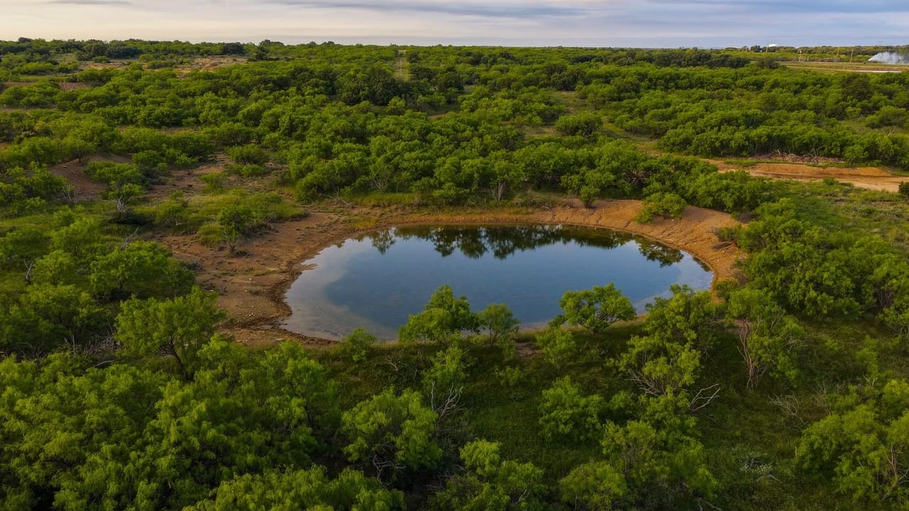
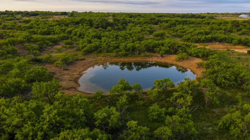
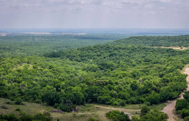
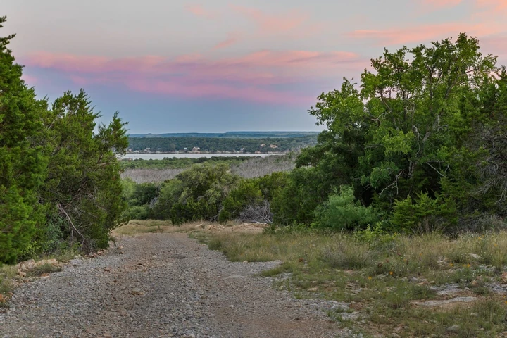
Discover 96 acres just east of Breckenridge, offering a prime blend of functionality and wide-open Texas landscape. A deeded entry lane from Highway 180 provides reliable, easy access to the traps and pens in the front. The Veale 96 also has excellent fencing and reliable water for cattle. The central portion of the property features rolling mesquites, salt scalds, and scattered ponds. As the property transitions toward the back, the terrain rolls into scenic oak-covered hills, overlooking a heavily wooded valley. Wooded hills and thicker cover on the north side create excellent habitat for the local whitetail. Live-oak covered hilltops in the back create ideal building sites overlooking the back valley. The Veale 96 provides a balanced layout that supports ranching, hunting, and future country living.
Whether you're looking to invest in productive land or enjoy a private rural retreat, this tract delivers the space, usability, and location to make it happen.
AGENT COMMENTS: Strong, well-fenced 96 acres with excellent native grass and highway frontage, making it a highly functional tract for a new build or hunting retreat. The added value of raw water line access provides flexibility for future improvements or expanded agricultural use. ~ LaChelle Clark
-- RANCHING & HUNTING IMPROVEMENTS --
Fencing ~ 6-strand barbed wire, good condition
Entry lane ~ 1,260 ft deeded lane; provides entry to property
Cross-fence ~ 6-strand barbed wire
Working pens ~ southeast side; good condition
Trap ~ 4.5 ac trap with working pens
Roads ~ ATV/UTV; grass/dirt
-- WATER, COVER & TERRAIN --
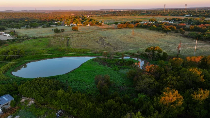
Surface Water ~ 4 ponds; .42 ac-stocked, .35 ac, .27 ac & .20 ac
Water Meter ~1 meter; West Central Texas Municipal Water District; raw water line
Elevation ~ 70 ft; rolling hillside to flat grass pastures
Tree Cover ~ open to lightly wooded; mostly mesquite, live oak on hills
Underbrush ~ mostly open; heavy underbrush on the northern portion
Pasture Land ~ native grasses
Soil ~ Bluegrove fl, Bluegrove l, Hensley l, Oil waste land, Palopinto, Rowden cl
-- HUNTING & RECREATION --
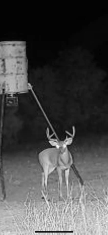
Native Wildlife ~ whitetail deer, turkey, variety of ducks, hogs, varmints
Habitat ~ native grasses; wooded hillside
-- MINERALS, WIND & EASEMENTS --
O&G Production ~ no active production or lease
Mineral Rights ~ no minerals owned
O&G Pipelines ~ none on property
Wind Rights ~ 100% owned and convey; no wind farms in sight
-- ACCESS & DISTANCES --
Road Frontage ~ 40 ft of Highway 180 East; paved
Nearby Towns ~ 4.8 mi E of Breckenridge; 28 mi SE of Graham, 41 mi W of Mineral Wells
Major Cities ~ 57 mi E of Abilene; 59 mi W of Weatherford; 87 mi W of Fort Worth
Airport ~ 2.2 mi NE of Stephens County Airport, 104 mi W of DFW (International)
Listing Agent: LaChelle Clark (254) 477-3500
Details
County: Stephens
Zipcode: 76424
Property Type One: Ranches
Property Type Two: Recreational Property
Property Type Three: Hunting Land
Brokerage: Campbell Farm & Ranch
Brokerage Link: www.cfrland.com

Lachelle Clark
Campbell Farm & Ranch
(254) 477-3500
By clicking the button, you agree to our Terms of Use and Privacy Policy.


Nearby Listings
Palo Pinto County, TX
$49,985,000 - 5896 ac.
Palo Pinto County, TX

$18,395,000 - 736 ac.
Stephens County, TX
$2,150,000 - 245 ac.
Shackelford County, TX

No Price - 1256 ac.
Callahan County, TX
No Price - 585 ac.
Palo Pinto County, TX
$12,995,100 - 1104 ac.
Eastland County, TX

$495,000 - 6 ac.
Eastland County, TX
$399,000 - 45 ac.
Young County, TX

$1,399,500 - 167 ac.
Young County, TX
$795,000 - 46 ac.