
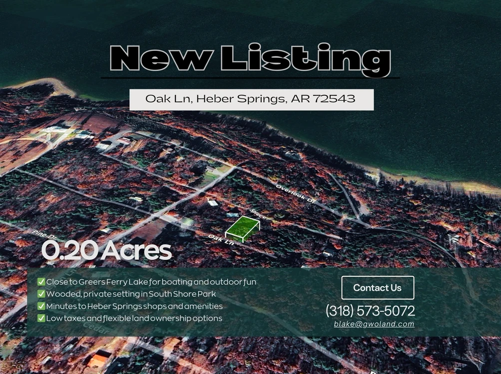
Wooded 0.20-Acre Lot in Heber Springs’ South Shore Park
Oak Lane, Heber Springs, AR | Lat/Lng: 35.4663, -92.1145
$9,999
0.2 ac.
12/18/2025
ACTIVE
Description
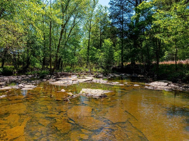
Escape to the serene beauty of Heber Springs, Arkansas, with this 0.20-acre lot in the South Shore Park subdivision. Nestled on Oak Ln, this wooded property offers a steep, private setting with elevations ranging from 630 to 670 feet, providing a quiet retreat in a natural forested environment. Whether you dream of building a cozy cabin, weekend getaway, or simply holding it as an investment, this lot offers the peace and flexibility you’re looking for.
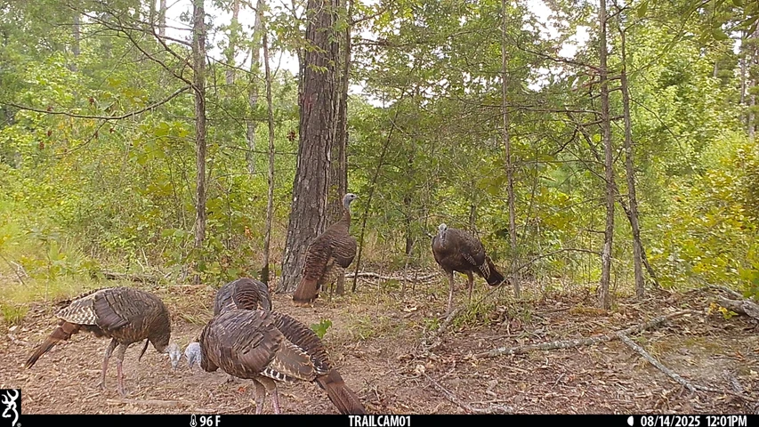
The property is conveniently located near the charming town of Heber Springs, providing easy access to shopping, dining, and local amenities. Outdoor enthusiasts will love being just minutes from Greers Ferry Lake, a popular destination for boating, fishing, and lakeside recreation, as well as nearby hiking trails, parks, and scenic viewpoints. Little Rock sits roughly 80 miles south, making it an easy drive for weekend trips to the city while still enjoying the tranquility of rural Arkansas.
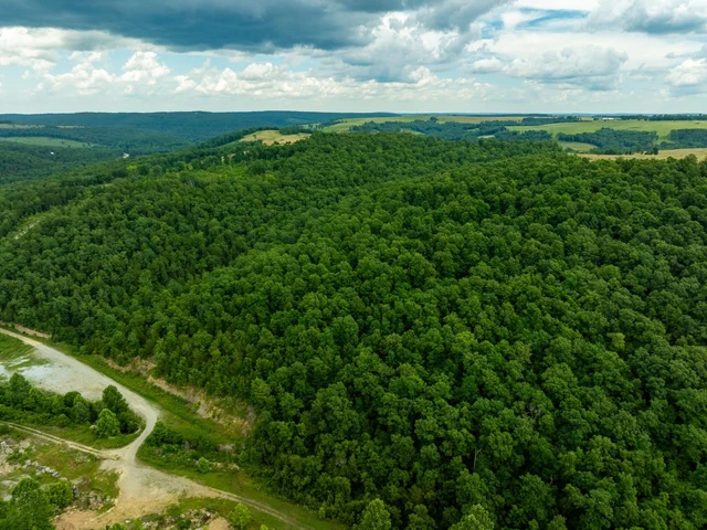
This lot offers a chance to enjoy the natural landscape of Cleburne County, with mature trees, rolling hills, and a quiet, community-focused neighborhood. With gravel road access and residential zoning under county regulations, you have the freedom to build your dream retreat or vacation cabin. Low property taxes and a desirable location near major attractions make this lot both an appealing lifestyle choice and a smart investment in the Heber Springs area.
Property Details:
Assessor's Parcel Number: Parcel id 002-08988-000 (208988000)
Property Address: Oak Ln, Heber Springs, AR 72543
County, State: Cleburne, AR
Subdivision: South Shore Park
Lot Number: 200
Legal Description: South Shore Park Lot 200
TRS: T10N R11W SEC 25
Parcel Size: 0.20 acres
Terrain Type: Steep Slope, Wooded
Lot Dimensions: 75 ft x 120 ft
Elevation: 630 ft - 670 ft
Access To Property: Oak Ln
Road Type: Gravel
Zoning / Property Use Code: Per County, No Zoning / Per CC&R's, Residential
GPS Coordinates (Center): 35.46631, -92.11448
GPS Coordinates (4 corners):
35.4665, -92.1144 NE
35.4661, -92.1144 SE
35.4661, -92.1146 SW
35.4665, -92.1146 NW
Details
County: Cleburne
Zipcode: 72543
Property Type One: Recreational Property
Property Type Two: Residential Property
Property Type Three: Undeveloped Land
Brokerage: Root Down Land
Brokerage Link: www.rootdownland.com
Apn: 00208988000

Laurie Halter
Root Down Land
(720) 262-3467
By clicking the button, you agree to our Terms of Use and Privacy Policy.


Nearby Listings
Van Buren County, AR
$390,000 - 175 ac.
White County, AR
$650,000 - 88 ac.
Izard County, AR
$339,900 - 2 ac.
White County, AR
$929,000 - 104 ac.
Cleburne County, AR
$180,000 - 30 ac.
White County, AR

$199,000 - 27 ac.
Stone County, AR
$599,900 - 5 ac.
Van Buren County, AR
$992,000 - 160 ac.
Conway County, AR
$465,000 - 144 ac.
Stone County, AR
$49,900 - 30 ac.