

Land Auction - 262.5 Acres | 2 Tracts - Buffalo County, NE
37244 145th Road, Kearney, NE | Lat/Lng: 40.8129, -98.9790
Auction
262.5 ac.
09/21/2026
ACTIVE
Description
Marshall Auction Presents
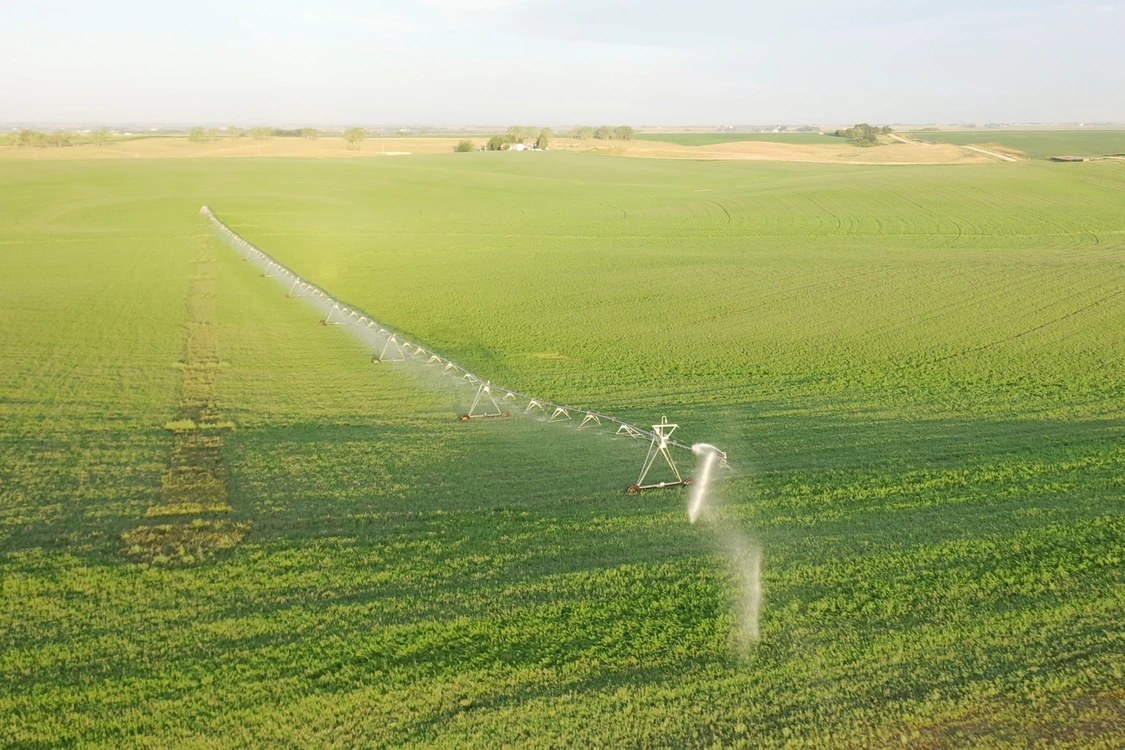
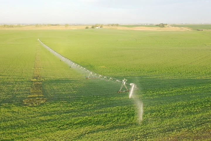
262.5 acres selling in 2 Tracts located northeast of Kearney, Nebraska. Tract 1 is 160 acres, more or less, of pivot irrigated cropland. Tract 2 is 102.5 acres, more or less, of non-irrigated cropland.
Absolute Land Auction:
Selling 262.5 Acres, more or less, in 2 Tracts in Buffalo County, Nebraska. The property sells at absolute auction to the highest bidder regardless of price – no minimum bid!
Online-Only Bidding:
This is an online auction. Bidding will be online via bid.marshallauction.com Bidding closes November 17th, 2026 starting at 10:00 AM CDT
Bidder Registration:
Bidders must register and be approved by the auction company prior to the auction closing date (we recommend 48hrs. prior to the auction close). Register by completing the bidder certification form (provided by the auction company) and submitting it to Luke Huddleston, Auction Manager Office 308-234-6266, Cell 308-293-7258
Tract 1 – 160 Acres +/- Pivot Irrigated Cropland
Land Location: Northeast of Kearney, Nebraska. From the east edge of Kearney, 3 miles east on US Highway 30, then 6.5 miles north on Poole Rd., then 1/2 mile west on 145th Rd.
Legal Description: Northwest Quarter of Section 26, Township 10 North, Range 15 West of the 6th P.M., Buffalo County, Nebraska
About the Land: 160 Acres, more or less, according to Buffalo County Assessor’s records. The property consists of pivot irrigated cropland with dryland corners. Includes a Valley 10-tower pivot sprinkler system and CASE IH 4391TA power unit. Note: The irrigation well and power unit are located across 145th Road, north of the property. A recorded easement provides for the use of and access to the irrigation well.
Farm Service Agency: Total Cropland – 158.28 acres, Corn base – 123.80 acres, Oats base – 24.1 acres, Soybeans base – 7.6 acres
Natural Resources District: The land is in the Central Platte NRD and has certified irrigation rights for 131.17 acres.
Well Data: (per registration) G-055510, August 1976, 280ft. deep, 120ft. static water level, 87ft. pumping level, 9” pump column, 1000 GPM
Soil Types: 47.2% Coly silt loam rated Class 4, 24.7% Hobbs silt loam rated Class 2, 18.6% Uly & Holdrege silt loams rated Class 4, 9.5% Coly, Uly and Hobbs soils rated Class 6
2025 Taxes: $ 9,623.12
Tract 2 – 102.5 Acres +/- Non-Irrigated Cropland
Land Location: Northeast of Kearney, Nebraska. From the east edge of Kearney, 3 miles east on US Highway 30, then 6.25 miles north on Poole Rd.
Legal Description: A tract in the Northeast Quarter of Section 26, Township 10 North, Range 15 West of the 6th P.M., Buffalo County, Nebraska
About the Land: 102.5 Acres, more or less, according to Buffalo County Assessor’s records. Non-irrigated cropland with excellent access from Poole Rd. and 145th Rd.
Farm Service Agency: Total Cropland – 100.47 acres, Corn base – 78.6 acres, Oats base – 15.3 acres,
Soybeans base – 4.9 acres
Soil Types: 55.8% Coly silt loam rated Class 4, 19.1% Hobbs silt loam rated Class 2, 16.3% Holdrege silt loam rated Class 2, 8.8% Coly silt loam rated Class 6
2025 Taxes: $ 2,338.80
Details
County: Buffalo
Zipcode: 68847
Property Type One: Farms
Brokerage: Marshall Land Brokers & Auctioneers
Brokerage Link: www.marshallauction.com

Luke Huddleston
Marshall Land Brokers & Auctioneers
(308) 234-6266
By clicking the button, you agree to our Terms of Use and Privacy Policy.


Nearby Listings
Phelps County, NE
$1,711,836 - 143 ac.
Hall County, NE
$3,337,000 - 315 ac.
Buffalo County, NE
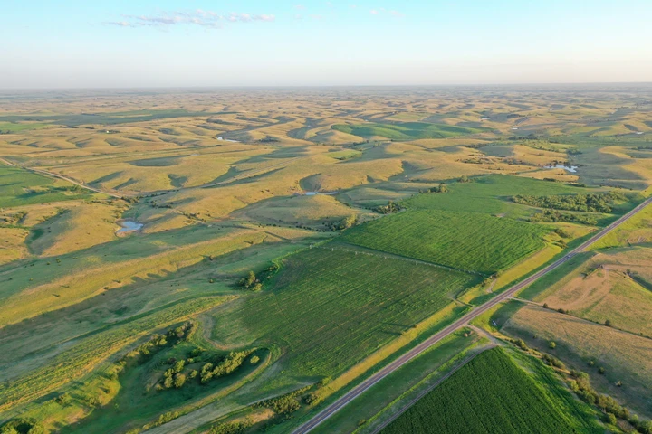
$4,365,000 - 1110 ac.
Sherman County, NE

$230,000 - 0 ac.
Buffalo County, NE
$2,690,000 - 18 ac.
Buffalo County, NE
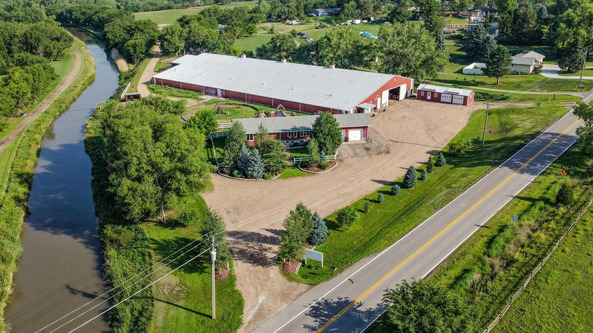
$1,995,000 - 33 ac.
Sherman County, NE

$100,000 - 16 ac.
Phelps County, NE
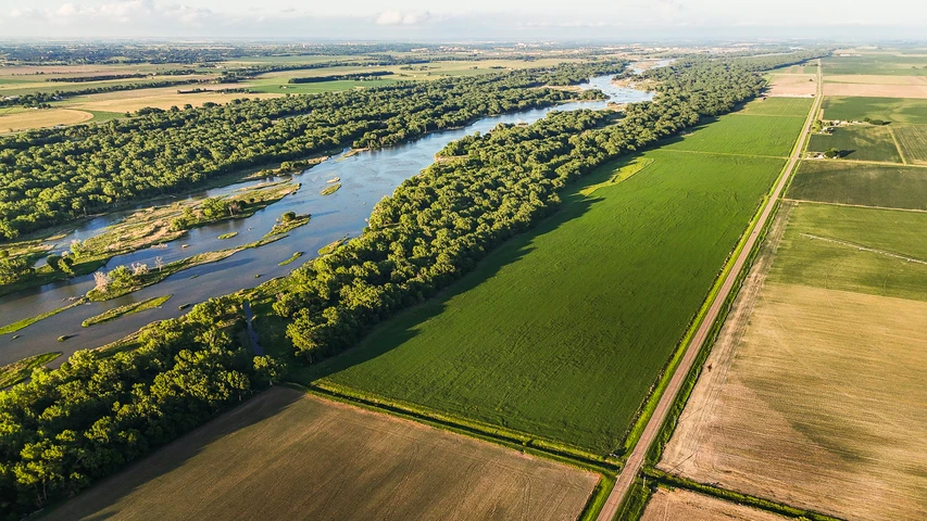
$2,890,000 - 307 ac.
Hall County, NE
$1,199,000 - 76 ac.
Adams County, NE
$725,000 - 4 ac.