
40 Acres Of Residential Land
262 Marshall Road Lot 59, Medicine Bow, WY | Lat/Lng: 41.9601, -106.1194
$58,000
40 ac.
03/28/2026
ACTIVE
Description
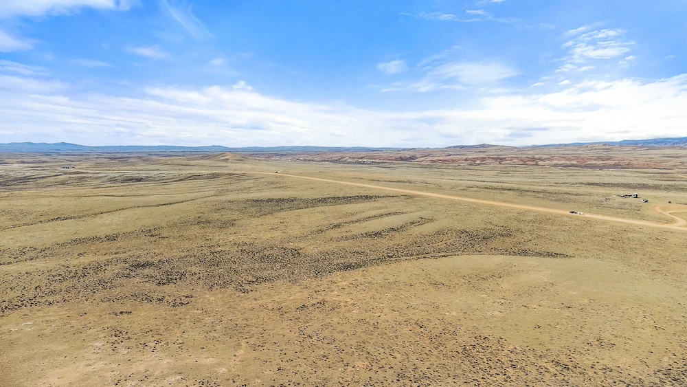
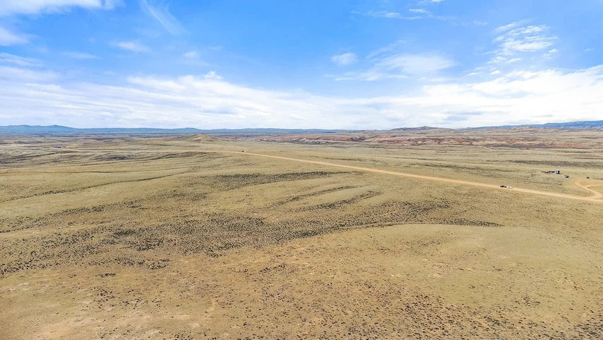
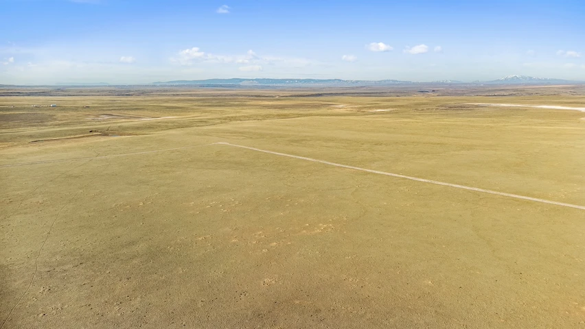
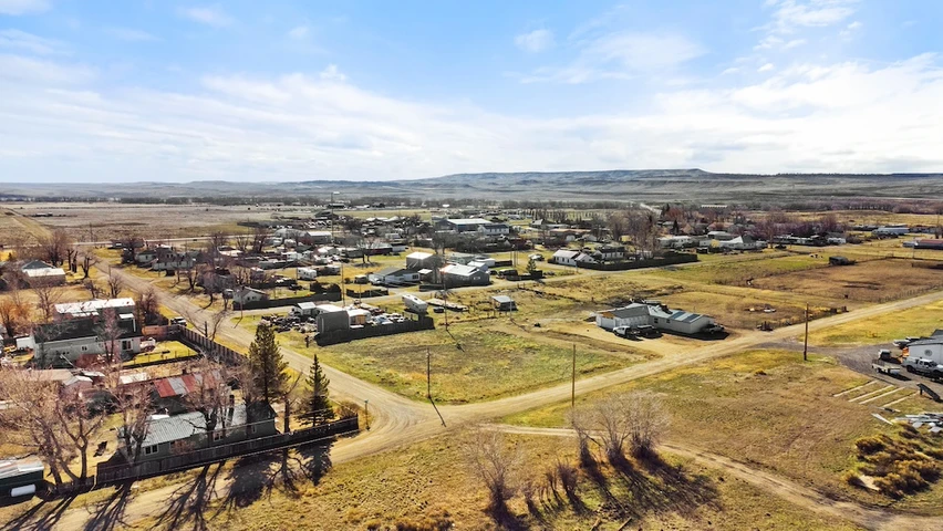
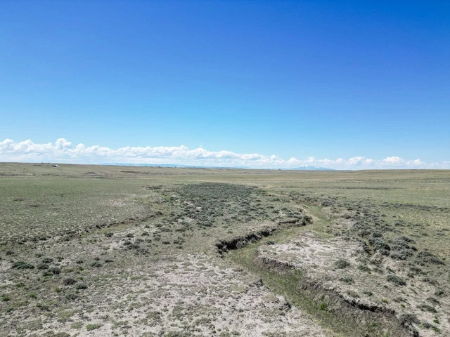
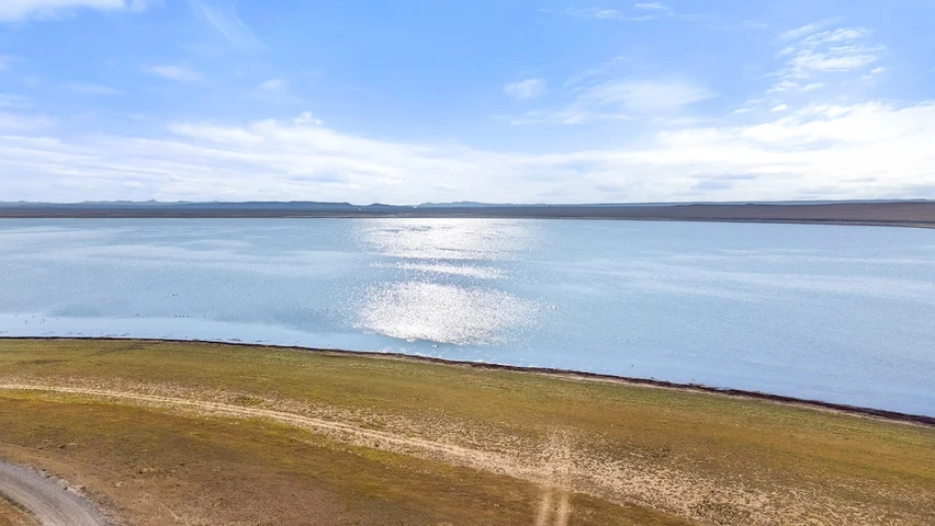
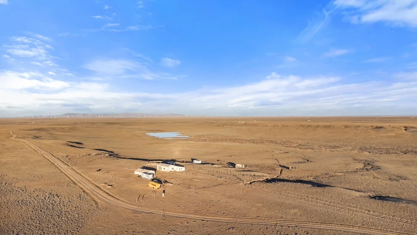
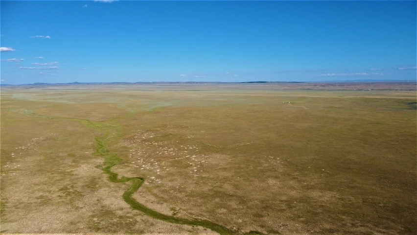
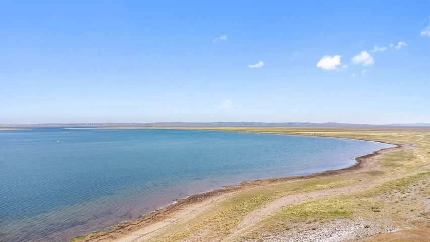
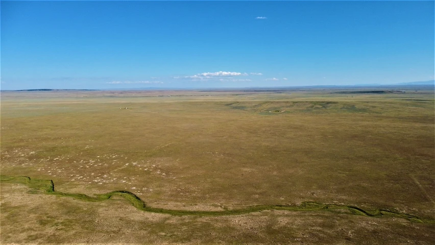
This 40-acre property located within Cassidy River Ranch in Carbon County, Wyoming, offers a combination of usable acreage, direct access to public land, and shared recreational amenities. The parcel borders approximately 640 acres of Bureau of Land Management land along its western and southern boundaries, providing expanded opportunities for outdoor use beyond the deeded acreage.The land consists of level to gently rolling native grassland at an elevation of approximately 6700 feet. The terrain supports a variety of potential uses, including recreational activities, seasonal use, or a future building site with power at the property line. The open setting provides wide-ranging views of surrounding mountain ranges and the characteristic high plains landscape of southern Wyoming.Wildlife is present throughout the area, including pronghorn and mule deer. The property is also located within Antelope Unit 47, Deer Unit 64, and Elk Unit 7, offering additional context for regulated hunting opportunities. Bird species such as red-tailed hawks, bald eagles, and golden eagles are commonly observed in the region.Cassidy River Ranch includes a shared amenity known as the Riverfront Commons, consisting of more than 300 acres that are deeded proportionally among property owners. This common area includes a private fishing reservoir as well as approximately two miles of access along the Little Medicine Bow River. These shared features provide additional recreational opportunities for landowners within the development.The property is accessed via a nearby state highway, with connectivity to Wyoming Highway 487 and Interstate 80. This access supports travel to surrounding communities and regional destinations. The town of Medicine Bow is located approximately 15 miles to the southwest, while Laramie is approximately 60 miles to the southeast. These communities provide varying levels of services, supplies, and amenities.The Cassidy River Ranch area is associated with regional historical significance. Archaeological findings in the area have included teepee rings, buffalo bones, and dinosaur fossils. The nearby Wilcox area is also tied to historical accounts of the Overland Pacific Flyer train robbery involving Butch Cassidy. These elements contribute to the broader cultural and historical context of the region.The property is part of a covenant-controlled community with an annual property owners' association fee of 100 dollars. Buyers should review all covenants, conditions, and restrictions to understand allowable uses and requirements. Utility availability has not been verified and should be confirmed independently.This parcel represents an opportunity to own acreage with direct adjacency to public land, shared river access, and proximity to regional transportation routes. This 40 acres gives you that rural experience, while still being close to town.
Details
County: Carbon
Zipcode: 82329
Property Type One: Recreational Property
Property Type Two: Residential Property
Property Type Three: Undeveloped Land
Brokerage: Whitetail Properties Real Estate
Brokerage Link: https://www.whitetailproperties.com/agents/drue-meyer
Apn: R0012311

Drue Meyer
Whitetail Properties Real Estate
(307) 421-9221
By clicking the button, you agree to our Terms of Use and Privacy Policy.


Nearby Listings
Albany County, WY
$75,000 - 70 ac.
Albany County, WY

$128,500 - 140 ac.
Albany County, WY
$30,000 - 0 ac.
Albany County, WY
$54,724 - 71 ac.
Albany County, WY
$98,000 - 38 ac.
Albany County, WY
$145,000 - 105 ac.
Albany County, WY
$60,000 - 70 ac.
Albany County, WY
$105,000 - 35 ac.
Albany County, WY
$190,000 - 211 ac.
Carbon County, WY

$40,000 - 38 ac.