
AUCTION: 394+/- Acres in 4 Tracts - Tillable, CRP, and Great Hunting (Russe
0000 Reservoir Rd, Russell, KS | Lat/Lng: 38.9261, -98.7734
Auction
394 ac.
07/30/2026
ACTIVE
Description
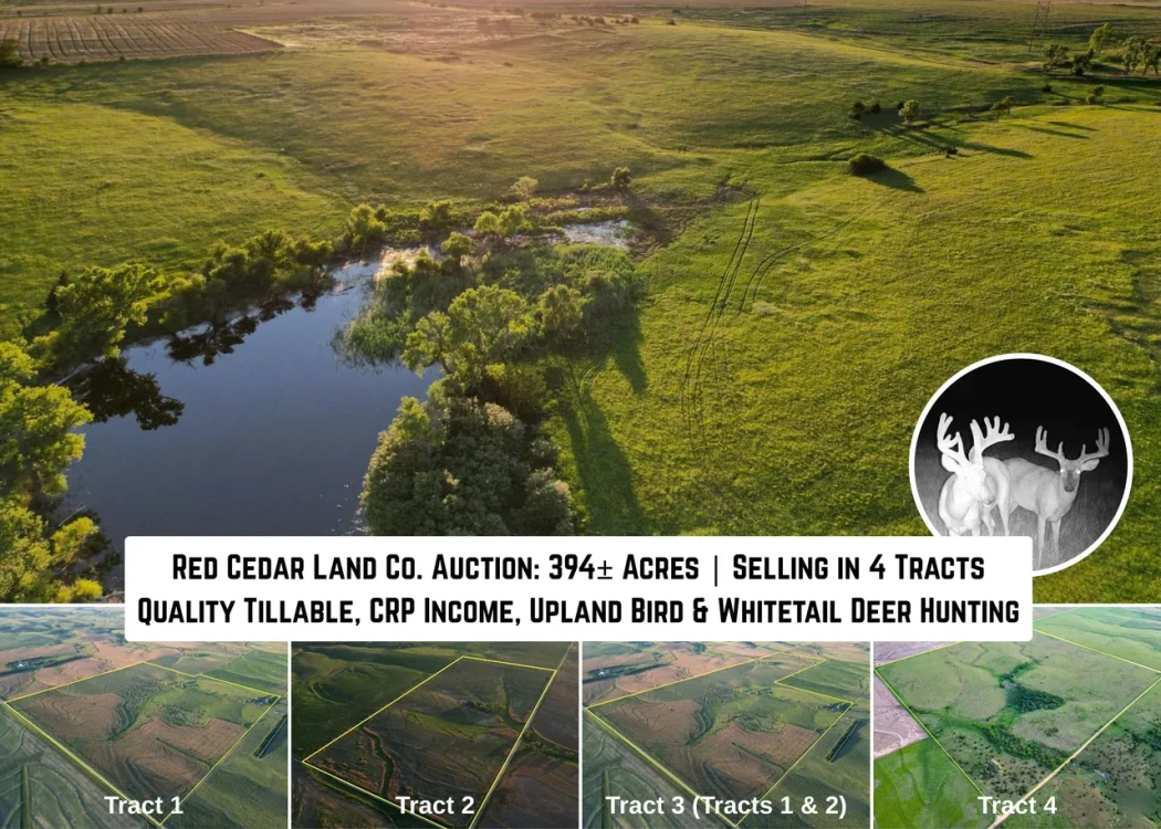
Live and Online Auction 394 +/- Acres of Tillable, CRP, and Great Hunting in Russell County, KS (Selling in 4 Tracts)
Auction Date and Time: Tuesday August 25, 2026 at 10:00 AM CDT.
Auction Location: Bunker Hill Community Center, 508 S. Elm Bunker Hill, KS 67626
Online bidding will open Thursday August 20th at 10:00 AM (Central) and merge with the live auction.
To Register to Bid Online: Click Here!
Property Description:
This 394+/- acres will be available to the public at auction on August 25, 2026.
Tracts 1 and 2 will be sold individually and then as a combination (Tract 3)
Tract 1: 162+/- Acres: NW 1/4 & W93' S1/2 NE1/4, S16, T13, R13W
Featuring 111 +/- acres of tillable farm ground, with approximately 45 acres currently planted to beans. There is also a 45 +/- acre hay meadow with a pond that is currently holding a good amount of water.
Soils consist of: 42% Harney Silt Loam 1-3% slopes, 28% Wakeen Silt Loam 3 to 7% slopes, 25% Balta Silty Clay Loam 3-7% slopes and 21% Nibson Silt Loam 3-30% slopes.
Possession on planted acres will be at the completion of fall harvest 2026, possession on open acres will be at closing. Tenants have signed a termination/cancellation agreement that will take effect after harvest.
With water, cover, and tillable close this is a sleeper farm for big Kansas Whitetails!
CLICK HERE TO VIEW TRACT 1
Tract 2: 75 +/- Acres: N 1/2, NE 1/4, S16, T13, R13W
Featuring 70 +/- acres of tillable farm ground, all acres currently planted to beans.
Soils consist of: 41% Wakeen Silt Loam 3 to 7 % slopes, 37% Harney silt loam, 1 to 3% slopes and 21% Balta silty clay loam, 3 to 7% slopes.
Approximately 70 acres currently planted to soybeans. Possession on planted acres will be at the completion of fall harvest 2026. Tenants have signed a termination/cancellation agreement that will take effect after harvest.
CLICK HERE TO VIEW TRACT 2
If tracts 1 and 2 sell to separate buyers, the cost of the survey will be split between the buyers of each tract.
Tract 3 (Tract 1 & 2 Combination): 237 +/- Acres: N1/2 NE1/4 & NW 1/4 & W93' S1/2 NE1/4 , S16, T13, R13W
Featuring 184 +/- acres of tillable farm ground, with approximately 125 acres currently planted to beans. There is also a 45 +/- acre hay meadow with a pond that is currently holding a good amount of water.
Possession on idle acres will be at closing. Approximately 125 acres currently planted to soybeans on tracts 1 and 2. Possession on planted acres will be at the completion of fall harvest 2026. Tenants have signed a termination/cancellation agreement that will take effect after harvest.
CLICK HERE TO VIEW TRACT 3
Tract 4: 157+/- Acres: NE 1/4, S13, T15, R12W
This 156+/- acres in Russell County, KS provides an excellent whitetail opportunity with bonus CRP income. The approximately 131.04 acres of CRP are enrolled thru 2035, with an annual payment of $4,121. There is an excellent natural flowing spring in the middle of the property that could easily be developed into a pond or other recreational activities. The center of the property has about 15 acres of timber, with a few mature cottonwoods scattered throughout.
This tract lays about 2 1/2 miles south of the Smoky Hill river. This area of Russell County has consistently produced exceptional whitetails. This farm is situated at the southern end of large pasture draw that feeds into the river drainage. Being surrounded by farmground and offering good bedding cover and water, this farm has the pieces to be a really solid hunting tract. Being somewhat removed from the hunting pressure that focuses on the river corridor, this farm will benefit from its isolation and seclusion.
With upland bird numbers on the rise in this area, this farm should produce good numbers of pheasant and quail. With surrounding ag fields on neighboring properties, this farm provides the water and cover required for them to continue to thrive.
Recent late spring/early summer rains have provided a jumpstart for the CRP grass to have an excellent growing season. With the right management, this farm has the all the ingredients to be a really solid hunting farm for years to come.
Key Features:
Quality tillable acres
45 acre hay meadow
Good CRP income
Some Class II soils
Great Hunting - Upland Birds and Whitetail
Strong Deer Numbers
Good Bucks Currently on Camera
Mineral Rights: What mineral rights are held by seller, shall pass to buyer.
Tenants Rights & Possession:
Tract 1,2 & 3: Possession on idle acres will be at closing. Approximately 125 acres currently planted to soybeans. Possession on planted acres will be at the completion of fall harvest 2026. Tenants have signed a termination/cancellation agreement that will take effect after harvest.
Tract 4: Possession at closing.
CLICK HERE TO VIEW TRACT 4
Auction Terms and Conditions: No buyer's premium. Bidding will be by the acre, final bid multiplied by the total acres will determine the final contract price. Bidders must be pre-approved with their lender, if applicable, prior to registering. Registered bidders will be contacted by the auction company for proof of funds/pre-approval. 10% earnest money deposit due the day of the sale. Closing shall be with Security 1st Title on or before 30 days from the auction date. Taxes shall be prorated to the date of closing. Title insurance and closing costs shall be split 50/50 between the buyer and the seller. All real estate shall be sold in its present "as is/where is" condition without any implied warranties or guarantees from the seller or Red Cedar Land Co. LLC. All inspections and verifications should be handled by the bidders prior to auction. All real estate is selling subject to any leases, roadways, easements, restrictions, and right of ways. Real estate is not selling subject to any inspections or bank approvals. What mineral rights the sellers own shall transfer to the buyer. All boundary lines, fencing lines, and acreages are approximate and not guaranteed. Sellers have selected to have live as well as online bidding. Bidders use the online bidding platform at bidder's sole risk. Red Cedar Land Co. LLC is not liable for any interruptions, unavailability, delays, or failure in the online bidding platform including errors or omissions related to the submission or acceptance of online bids. All property information is believed to be accurate; however Red Cedar Land Co. LLC is not liable for its accuracy. Red Cedar Land Co. LLC is acting as a seller's agent. The land is selling subject to seller's confirmation of price. If the buyer defaults on the purchase the earnest money shall be non-refundable, unless further agreed upon by the sellers. Any announcements made the day of the sale shall take precedence over any other advertised material or verbal communication. If tracts 1 and 2 sell to separate buyers, the cost of the survey will be split between the buyers of each tract. Any announcements made day of sale shall take precedence over any advertised material.
For more information: Broker Associate - Mark Morris (785) 324-1495 or Auctioneer - Mike Niedens (620) 793-0383
Broker Participation Terms: Brokers/Agents may complete our Broker Registration Form by clicking the link: Broker Registration Form The Broker Registration Form must be executed at least 48 hours prior to the start of the auction unless otherwise agreed upon.
Details
County: Russell
Zipcode: 67665
Property Type One: Farms
Property Type Two: Ranches
Property Type Three: Hunting Land
Brokerage: Red Cedar Land Company
Brokerage Link: https://redcedarland.com/mark-morris/

Mark Morris
Red Cedar Land Company
(785) 324-1495
By clicking the button, you agree to our Terms of Use and Privacy Policy.


Nearby Listings
Barton County, KS
$1,250,000 - 157 ac.
Rooks County, KS
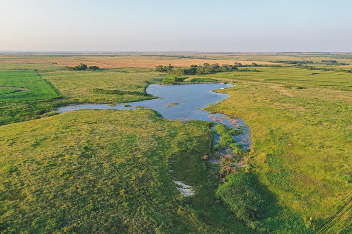
$274,500 - 121 ac.
Rooks County, KS
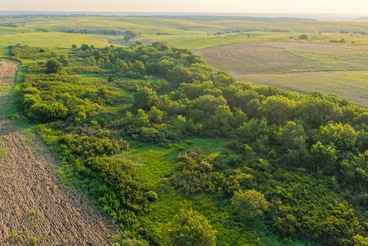
$451,800 - 151 ac.
Russell County, KS
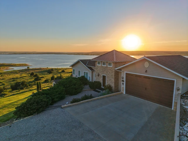
$999,000 - 8 ac.
Ellis County, KS

$795,000 - 218 ac.
Russell County, KS
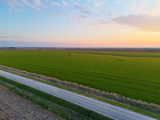
$695,000 - 315 ac.
Ellis County, KS

$775,000 - 42 ac.
Russell County, KS
$245,000 - 78 ac.
Barton County, KS
$240,516 - 98 ac.
Ellis County, KS
$625,000 - 142 ac.