

Own a 1.15-Acre No HOA, Acreage Lot in FL - Owner Financing
0 Unnamed, Los Padres Ave, Alford, FL | Lat/Lng: 30.6961, -85.3946
$14,997
1.15 ac.
06/28/2026
ACTIVE
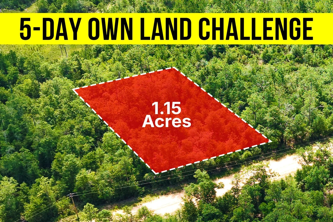
Description
*** 5-Day Become A Landowner Challenge: Start With Easy Owner Financing ***
Over 700 people have already done this - will you be next?
Here's the plan:
Day 1: Book Your Free Call to Join Our 5-Day Landowner Challenge
- Lets explore your land options together and unlock exclusive offers you wont find online. Go to: call.gokcap. com
Day 2: Place the Property on Hold
- Hold your property on our website so no one else can grab it - you're officially on the path to becoming a landowner.
Day 3: Explore Your Land
- Step onto your land, even virtually - do your homework, and imagine how you'll make it your own.
Day 4: Pick Your Path
- Choose the payment plan that's right for you - with 5% cash back rewards, 9 free bonuses, and a 365-Day Land Exchange Guarantee to keep you safe.
Day 5: Celebrate Ownership
- Sign your agreement and join the community of 700+ proud landowners.
Dear Land Buyer,
Are you looking for a place where you can have more space, fewer restrictions, and no HOA telling you what to do with your property?
This 1.15-acre residential lot in Jackson County gives you exactly that.
This property is for you if you want straightforward residential land with legal road access and room to spread out.
- Hold it now for just $50 on our website. Trailhead Thursday coupon available on our website.
If you're looking for a fully improved homesite with public water, sewer, and every utility already installed, this probably isn't the right property.
There is no HOA.
That means no monthly dues.
No architectural approval process.
No HOA committee telling you what to do beyond county regulations.
Many buyers choose Jackson County because they can still find larger residential lots at prices that are becoming harder to find in many parts of Florida.
The area offers more space between neighbors while still being within reach of shopping, services, and outdoor recreation.
The nearby lakes are another reason buyers are drawn to this part of the county.
The property is zoned for residential use.
In plain English, the county intends the land for residential development.
Buyers should always confirm that their specific plans comply with Jackson County regulations before purchasing.
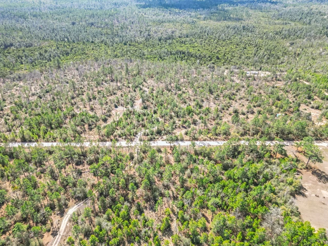
The property has legal access from a dirt road.
You can legally reach your property without wondering whether you'll need permission to cross someone else's land.
Electricity is available for connection.
A private well and septic system would need to be installed.
That's common for residential properties throughout this area.
Buyers should confirm utility availability and installation requirements before making plans.
The land has a gentle 0 to 5 percent slope.
That generally makes it easier to walk and evaluate than steeper properties.
The vegetation is typical for this part of Jackson County.
You'll find longleaf and slash pine, mixed oak scrub, saw palmetto, native wiregrass, and open grassy clearings growing on well-drained sandy soil.
Available mapping shows the property is not located in a Special Flood Hazard Area.
It also does not contain mapped wetlands.
Those are two of the first things many land buyers check because they can affect future plans.
Flood information should always be verified independently.
Many buyers choose this area because they want more privacy, fewer restrictions, and more room than they can often find in busier parts of Florida.
Being close to several lakes gives you convenient access to outdoor recreation without owning waterfront property.
But finding more than an acre with residential zoning, legal road access, no HOA, and no mapped flood hazards is becoming harder.
Or place it on Hold while you finish your decision.
Note: All information is based on independent research. Buyers should confirm zoning, access, and utility availability directly with Jackson County before making plans.
Lot Breakdown: What Youre Getting
Assessor's Parcel Number: 02-2N-11-0086-1000-0110
Legal Description: Lot 11 Blk 100 Compass Lakehills Unit 4 Being In 04 2 N 11 Or 383 P 307 Or 1314 P 394 Or 1325 P 701 Or 1411 P 168
Elevation: 67
GPS Center Coordinates (Approx.): 30.5976, -85.34805
Annual Taxes: ~$83.30
Zoning: Residential
Time Limit To Build: None as far as we are aware
Access: Dirt Road
Power: We recommend that you contact Jackson County to confirm, but according to our research, electricity is available for connection to the property
Water: A well would need to be installed
Sewer: A septic system would need to be installed
Official Contacts: Please contact Jackson County
RVs Allowed?: We recommend that you contact Jackson County to confirm, but, according to our research, a temporary RV is allowed during the construction of a primary home with the required building permit
Buildable?: Because we do not know the specifics of what you may want to build on the property, we recommend that you contact the building and/or zoning department(s) for more information on the relevant zoning and building regulations and how to obtain a building permit
Survey Available?: No, we have not had a survey commissioned, but if you would like to pay for a survey we would be happy to work with your chosen surveyor
In HOA?: No HOA
Annual HOA Dues: ~$0.00
Details
County: Jackson
Zipcode: 32420
Property Type One: Residential Property
Property Type Two: Undeveloped Land
Brokerage: GokceCapital.com
Brokerage Link: land.gokcap.com

Erika Benson
GokceCapital.com
(844) 998-4888
By clicking the button, you agree to our Terms of Use and Privacy Policy.


Nearby Listings
Jackson County, FL
$14,597 - 1 ac.
Jackson County, FL
$14,979 - 1 ac.
Jackson County, FL

$229,900 - 26 ac.
Jackson County, FL
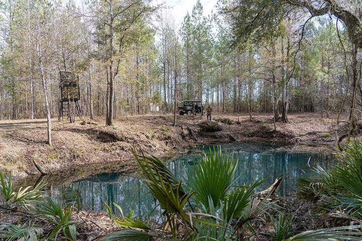
$259,900 - 30 ac.
Jackson County, FL
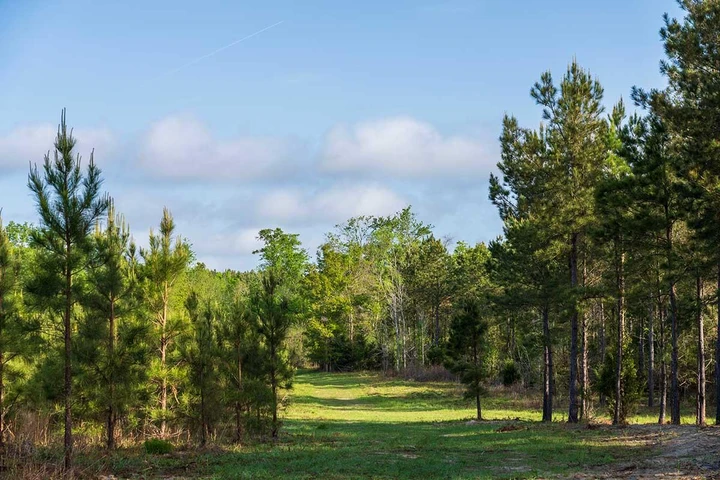
$199,900 - 20 ac.
Jackson County, FL

$199,900 - 20 ac.
Jackson County, FL

$16,500 - 1 ac.
Jackson County, FL
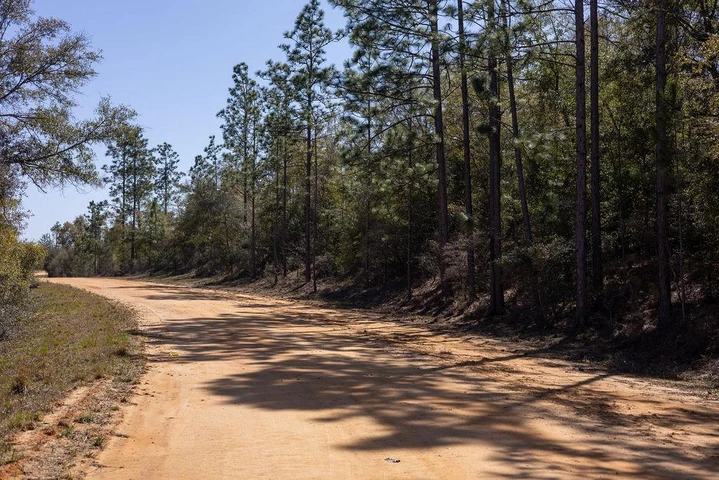
$32,500 - 2 ac.
Jackson County, FL
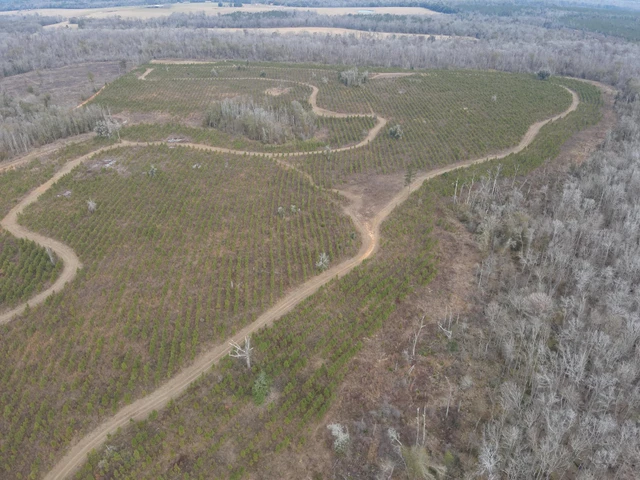
$2,103,350 - 713 ac.
Calhoun County, FL
$99,000 - 10 ac.