160 Acres in Buena Vista Valley
Unionville, NV | Lat/Lng: 40.4388, -118.1015
$75,900
160 ac.
09/11/2025
ACTIVE

Description
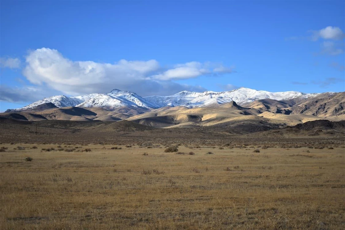
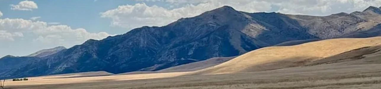
The Humboldt Range is a largely north-south running range of mountains in northwest Nevada, that extend from the town of Imlay in the north to the junction with the West Humboldt Range in the south. It is bordered continuously by Interstate 80 and the Humboldt River, largely expanded in the form of the Rye Patch Reservoir in this area, on the west side and by a long and fairly broad Buena Vista Valley to the east, in a typical basin-and-range pattern. The Humboldts are ostensibly visible to travelers along Interstate 80, especially with respect to the highest point of the range, Star Peak, which with a quite nicely defined tip reaches an elevation of 9,836 feet (2,998 m), located in the center of the north range section. The midpoint of the range is in the area of Fourth of July Flat. One historical site, now a ghost town, nearby is called Star City. Unlike some ranges in the vicinity, the substantial height of the Humboldts allows for a number of continuously flowing watersheds, and hiking the terrain is a somewhat noted activity.
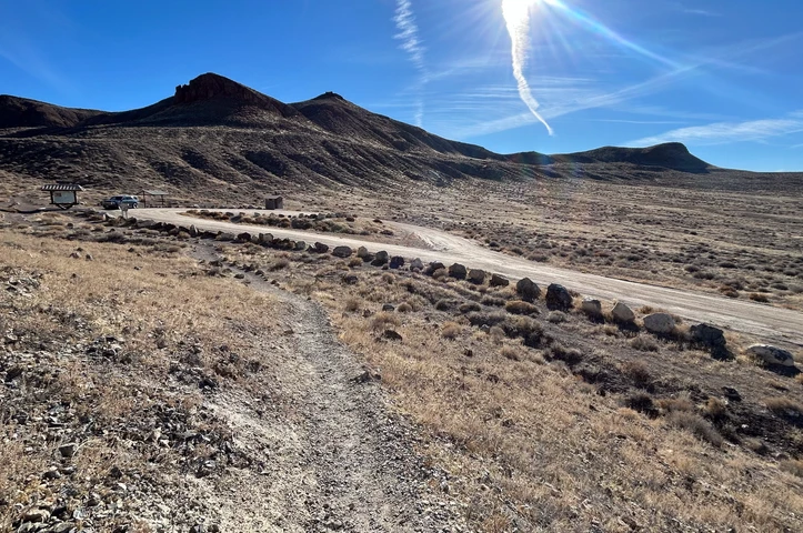
Located 120 miles from Reno, 180 miles from Black Rock City and 49 miles from Winnemucca by car. Rye Patch State Recreation Area is nearby and offers boating, fishing, hiking, camping, RV, biking, and equestrian opportunities.
Land Use Code 1100: Private persons and private joint ownership
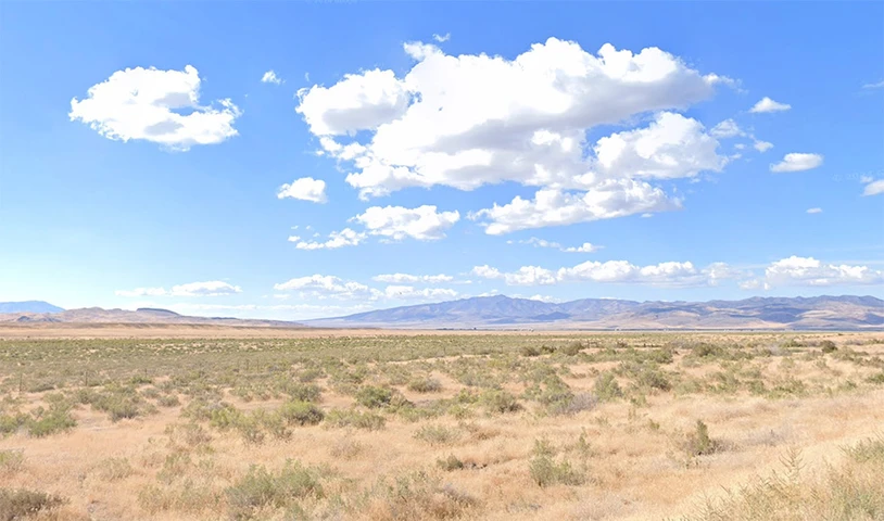
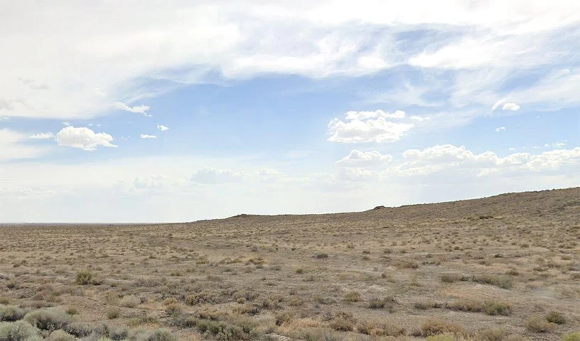
Land Type: Vacant, Undeveloped
Municipal Power: No
Municipal Water: No
Topography: Flat, Sloping
Average Yearly Temps: 52(F)
Soil Type: The area is coarse sandy loam
Cropland Data Layer Majority Category: Shrubland
Population Growth (CAGR) next 5 years: 1.6%
Historical Significance: Unionville was one of Nevada's earliest mining communities, flourishing between 1863 and 1870.
Details
County: Pershing
Zipcode: 89418
Property Type One: Undeveloped Land
Brokerage: J Dodson LLC
Brokerage Link: https://wildlegacy.land
Apn: 1204005


Nearby Listings
Pershing County, NV

$22,995 - 40 ac.
Pershing County, NV

$299,000 - 640 ac.
Pershing County, NV

$15,200 - 2 ac.
Pershing County, NV

$345,000 - 2 ac.
Pershing County, NV
$30,774 - 37 ac.
Pershing County, NV
$13,997 - 40 ac.
Pershing County, NV
$14,897 - 40 ac.
Humboldt County, NV

$12,997 - 41 ac.
Pershing County, NV
$29,999 - 40 ac.
Pershing County, NV

$24,999 - 41 ac.