Trout Falls Parcel
Trout Falls Road, Bolton Landing, NY | Lat/Lng: 43.6339, -73.6604
$139,900
9.82 ac.
06/09/2025
ACTIVE


Description
Property Overview
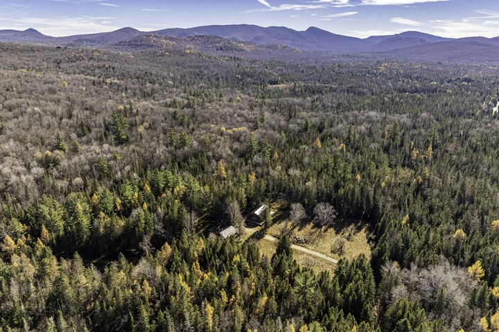
The property is well suited to buyers seeking to establish a camp or home on a remote road with minimal future development possibilities. To the west, the property borders a large tract of managed private forestland, which is under a NY State conservation easement and cannot be developed.
Further, the Lake George Land Conservancy's Amy's Park, a 500-Acre preserve with miles of trails and canoe/kayak launches into a series of large beaver ponds, is a short 1/10th mile walk up the road. Additionally, from the Amy's Park Preserve, there is direct access to thousands of acres of New York State Forever Wild Lands. There are very few areas in the town of Bolton with this kind of remote feel, yet only a 10-minute drive to the village.
Location
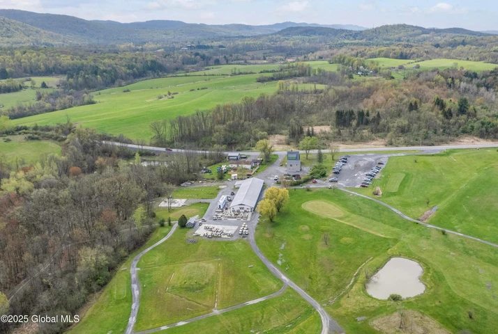
The property is located on the southern end of Trout Falls Road, a town road that dead ends approximately 1 mile north. The village of Bolton Landing is a 10-minute drive away, where there are numerous dining and shopping options, two public beaches on Lake George, as well as a public boat launch.
The region's commercial center, Glens Falls, is a 30-minute drive south, where there is a small airport and a hospital. The closest international airport is in Albany, 1 hour south. New York City is 3.5 hours south, and Montreal is 2.5 hours north.
While this area of the Adirondacks is best known for Lake George, it is also an excellent basecamp for exploring the High Peaks region, which can be reached in about 45 minutes, as well as the numerous lakes and ponds that characterize the southern Adirondacks.
Access
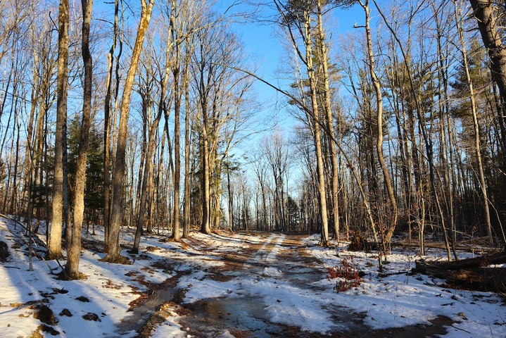
The property has approximately 400 feet of frontage along Trout Falls Road, a year-round town-maintained dirt road. The neighboring property to the south has a deeded right-of way driveway through the southeastern portion of the property, and an existing gravel driveway has been established, which a new owner could use to access a potential house site. Further to the north is a small driveway cut, which could also be utilized to access a building site. While there is no power currently at the road frontage, the closest power pole is located 500 feet south.
Property Description
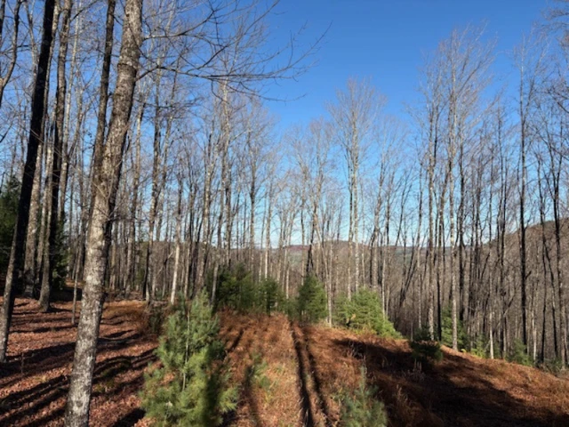
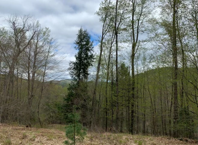
The property features diverse terrain, with the area along the road frontage being relatively flat and characterized by an attractive hemlock forest. The middle of the property, as one heads west, has several vernal pools and a wetland where a small creek meanders. Further toward the western property boundary, the forest opens, and there is a nice stand of hard maple intermixed with some impressively large eastern white pines. The land's grade briefly steepens on its western boundary line. The northern boundary is a small creek that cascades from the steeper terrain above the neighboring property. The ideal camp or homesite location is close to the road frontage, where there is level terrain and ease of driveway access from the road.
Details
County: Warren
Zipcode: 12814
Property Type One: Recreational Property
Property Type Two: Undeveloped Land
Property Type Three: Hunting Land
Brokerage: Fountains Land
Brokerage Link: www.fountainsland.com
Apn: 52200012400000010460000000

Sam Caldwell
Fountains Land
(518) 636-9792
By clicking the button, you agree to our Terms of Use and Privacy Policy.


Nearby Listings
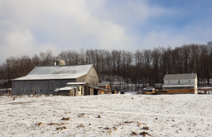
Warren County, NY
$148,000 - 26 ac.
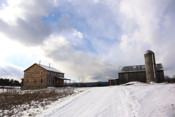
Washington County, NY

$669,000 - 135 ac.
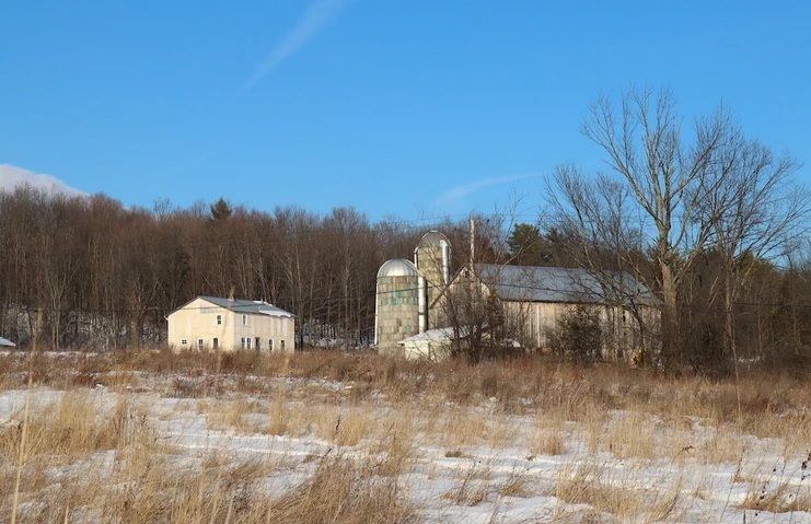
Washington County, NY
$1,990,000 - 210 ac.
Hamilton County, NY
$915,000 - 41 ac.
Warren County, NY
$84,000 - 6 ac.
Warren County, NY

$850,000 - 54 ac.
Washington County, NY
$339,000 - 111 ac.
Washington County, NY
$325,000 - 121 ac.
Washington County, NY
$370,000 - 125 ac.
Saratoga County, NY
$229,000 - 142 ac.