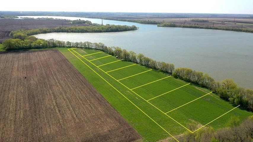
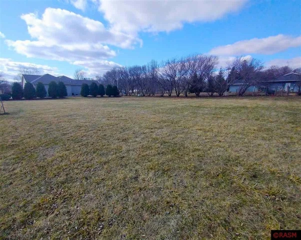
400.26+/- Acres Cottonwood County, MN
TBD, Springfield, MN | Lat/Lng: 43.9312, -95.2981
$5,563,614
400.26 ac.
08/25/2025
ACTIVE
Description
Premier Cottonwood County, MN Farmland Portfolio 400.26 Acres | 94.6 CPI Average
This is an exceptional opportunity to acquire a premier tillable farmland portfolio in Cottonwood County, Minnesota.
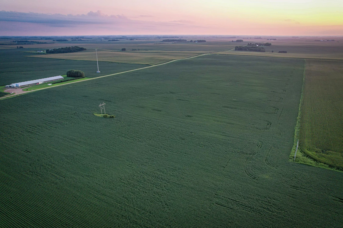
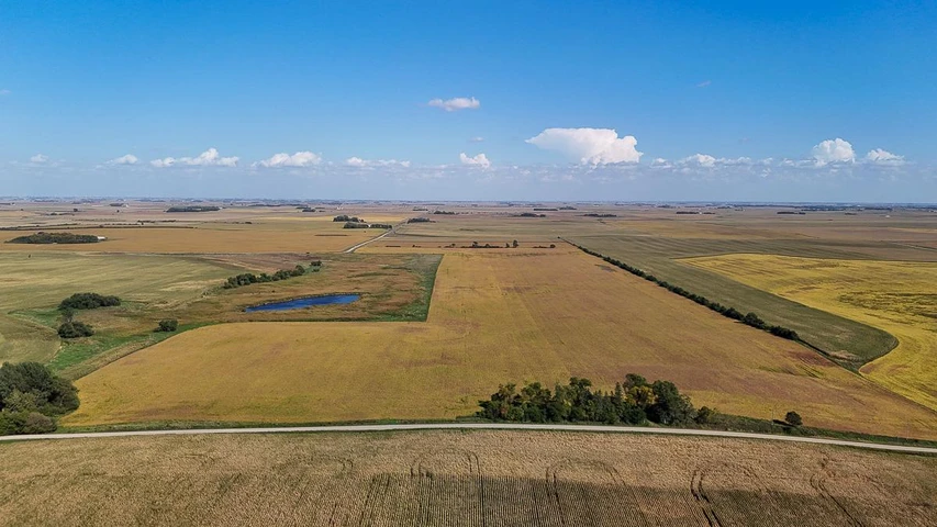
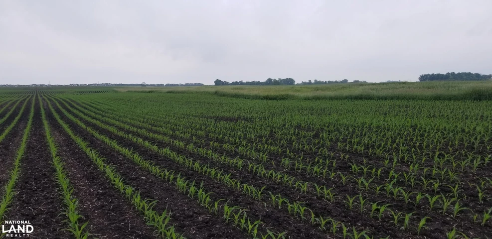
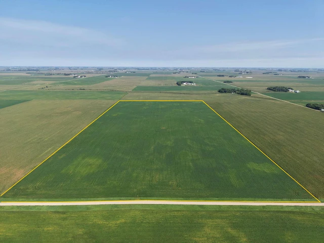
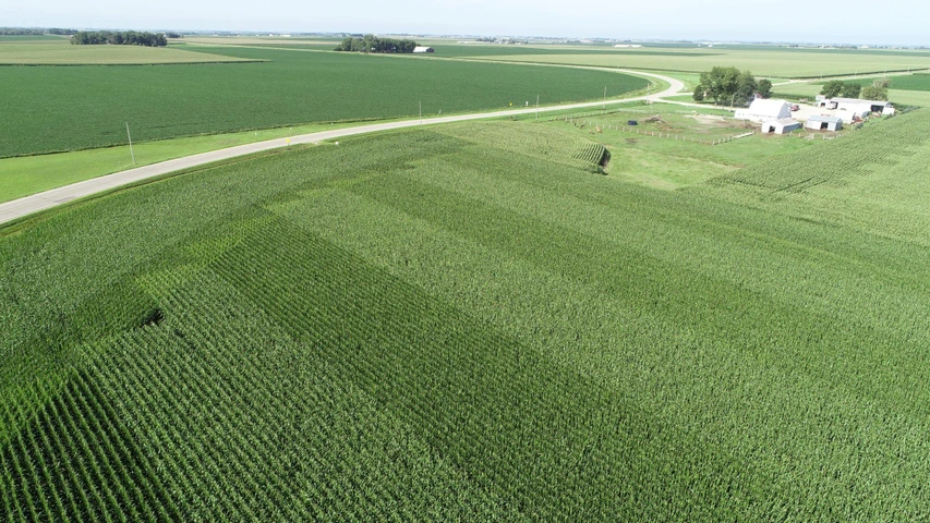
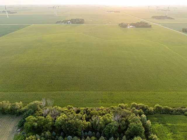
This highly productive portfolio totals 400.26 acres, with nearly every acre tillable and a remarkable 94.6 CPI average across the entire holding. These four tracts, the South 80, East 80, North 160, and West 80, are situated in close proximity, offering efficiency for operators and strong long-term investment appeal. Rarely does farmland of this caliber, with such consistent soil quality and drainage, become available in Southwest Minnesota.
South 80 Springfield Township
80.26 total acres | 78.16 tillable acres | CPI 94.2
Primary soils: Clarion loam & Delft complex
Legal: W , NW , Section 4, Township 105N, Range 37W
PID: 16-004-0300
2025 Taxes: $3,878
Gently rolling farm with 10.5 ft of elevation change
Excellent drainage potential with access to the county main
East 80 Amo Township
80 total acres | 76.65 tillable acres | CPI 93.9
Primary soils: Clarion-Swanlake complex & Delft complex
Legal: S , SW , Section 33, Township 106N, Range 37W
PID: 02-033-0400
2025 Taxes: $3,284
Very flat tract with only 4.3 ft elevation change
Excellent drainage potential with access to a county main
North 160 Amo Township
160 total acres | 155.37 tillable acres | CPI 95.4
Predominant soils: Nicollet clay loam, Delft complex & Clarion loam
Legal: W , SE & E , SW , Section 30, Township 106N, Range 37W
PIDs: 02-030-0301 & 02-030-0302
2025 Taxes: $8,890
FSA Tracts 1512 & 1513, Farm 6085: 155.37 cropland acres, non-irrigated
Gentle terrain with only 7.25 ft of elevation variation, highly efficient for farming.
Excellent drainage potential with access to county mains.
Situated on a blacktop road
West 80 Rose Hill Township
80 total acres | 78.19 tillable acres | CPI 94.1
Primary soils: Nicollet clay loam & Clarion-Storden complex
Legal: S , NE , Section 36, Township 106N, Range 38W
PID: 13-036-0500
2025 Taxes: $3,426
Gently rolling with 8.4 ft elevation change
Portfolio Summary
Together, these four tracts form a 400.26 acre investment in some of the finest soils in Southwest Minnesota. With nearly every acre tillable, superior soil profiles, and access to county drainage mains, this is a truly Class A farmland portfolio.
Whether you are an operator looking for efficiency of scale, or an investor seeking high-quality land in a proven agricultural region, this offering stands out as one of the best available. Opportunities of this scale and quality seldom reach the open market.
While offered as a portfolio, selling individual parcels will also be considered.
Property Address: Multiple Tracts
Property Features:
-400.26 +-/ Acres
-98% Tillable
-Highly productive soil types
-94.6 CPI!
-Access to drainage outlets
-Investment grade farmland
Details
County: Cottonwood
Zipcode: 56101
Property Type One: Farms
Brokerage: High Point Land Company
Brokerage Link: https://land.com
Nearby Listings

