

48.293 Acres With Planted Pine Near Henderson
S/S CR 436, Laneville, TX | Lat/Lng: 32.0104, -94.7827
$240,000
48.29 ac.
07/09/2026
ACTIVE
Description
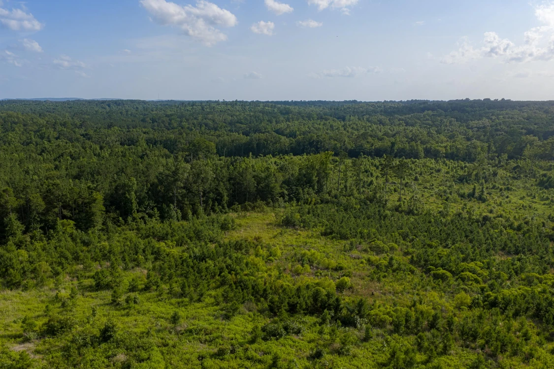
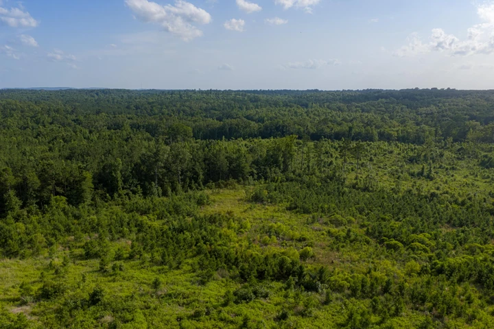
Located along CR 436 approximately 11 miles south of Henderson, this upland recreational and timber tract offers long county road frontage, a gated entry, rolling terrain, and a young stand of planted pine that can be managed for future value. The land has a clear, practical layout for a buyer looking for a manageable rural property with good access, elevation change, hunting and outdoor recreation appeal, and potential long-term timber upside. The provided information notes no mapped flood zone, and the site appears to be made up of upland ground with elevation ranging from approximately 380 feet ASL to approximately 460 feet ASL.
Access and Frontage
The property fronts the southern boundary of CR 436 and includes long frontage along the county road. The gate is located at approximately 32.0123, -94.7811, providing a useful entry point from the road corridor. This frontage is an important feature for access, land management, timber operations, recreation, and future planning. Any exact frontage distance, driveway location, gate placement, and legal access details should be verified by survey, title work, and county records.
Land and Topography
The land has rolling topography with a larger hill in the northeastern portion of the property. From that high area, the terrain generally slopes toward lower elevations to the west and south. The elevation change gives the tract more character than a flat cutover property and may help create useful views, drainage patterns, bedding cover, stand locations, and interior trail options over time.
Timber and Vegetation
Timber was cut in the last few years, and the property was replanted in pine approximately four to five years ago. That young planted pine creates a long-term timber management component that should continue to develop as the stand matures. Future value may be influenced by stocking, survival rates, site quality, spacing, thinning schedule, pulpwood and sawtimber markets, access for equipment, and management by a consulting forester. The tract may appeal to a buyer who wants to shape the next phase of timber growth while maintaining recreational use during the growth cycle.
Recreational Use and Habitat
The combination of planted pine regeneration, rolling terrain, county road access, and pipeline corridors gives the tract good recreational appeal. Young pine stands and regenerating cover can create bedding and browse conditions for regional wildlife, while open easement corridors can provide visibility, travel lanes, and potential locations for food plots, stands, or interior access routes.
Surface Use and Easements
There are two pipeline easements in the northern portion of the tract. They run generally east to west, parallel and adjacent to one another, just south of the CR 436 corridor. There is also an oil and gas site in the eastern portion of the property that is accessed from the county road. Seller to reserve all owned mineral rights. A new survey is available upon request.
DETAILS
- 48.293 acres located along the southern boundary of CR 436 in central Rusk County, TX.
- Approximately 11 miles south of Henderson, according to the provided summary.
- Long frontage along CR 436 with gate coordinates provided as 32.0123, -94.7811.
- Rolling upland topography with elevation reported from approximately 380 feet ASL to 460 feet ASL.
- Larger hill in the northeastern portion, with land sloping toward the west and south.
- Timber was cut in recent years and replanted in pine approximately four to five years ago.
- Provided information notes no mapped flood zone.
- Two parallel pipeline easements run east to west in the northern portion of the property.
- Oil and gas site in the eastern portion, accessed from the county road.
- All descriptions and exhibits are considered to be reliable but should be verified by buyer or buyer's agent.
The information contained herein is deemed reliable but is not warranted or guaranteed by the Broker, its Agents, or the Seller. Access to property, access to utilities, or any measurements including but not limited to, acreage, square footage, frontage, and mapping boundary lines shared herein has not been independently verified and is for purposes of marketing only. If exact measurements, access to property, or access to utilities is a concern, the property should be independently measured or investigated by the prospective buyer.
Details
County: Rusk
Zipcode: 75667
Property Type One: Recreational Property
Property Type Two: Timberland
Property Type Three: Hunting Land
Brokerage: Whitetail Properties Real Estate
Brokerage Link: www.whitetailproperties.com/agents/cody-robertson?utm_medium=affiliate&utm_source=landnetwork
Apn: 16853

Cody Robertson
Whitetail Properties Real Estate
(903) 681-0713
By clicking the button, you agree to our Terms of Use and Privacy Policy.


Nearby Listings
Cherokee County, TX
$1,850,000 - 118 ac.
Smith County, TX

$129,900 - 12 ac.
Smith County, TX
$2,850,000 - 168 ac.
Panola County, TX
$3,365,000 - 527 ac.
Rusk County, TX

$2,598,500 - 205 ac.
Cherokee County, TX
$535,550 - 51 ac.
Nacogdoches County, TX
$479,999 - 78 ac.
Cherokee County, TX

No Price - 600 ac.
Nacogdoches County, TX
$13,200,000 - 150 ac.
Smith County, TX
$49,900 - 1 ac.