
Aiken County Tract - Hunting, Mini Farm, Equestrian Use With Ideal Homesite
Sand Dam Road, Lot#WP001, Wagener, SC | Lat/Lng: 33.7028, -81.3619
$345,543
40.71 ac.
04/14/2026
ACTIVE

Description
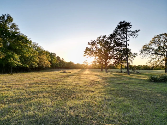
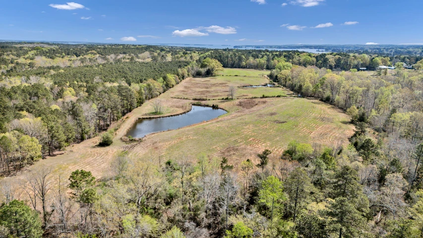
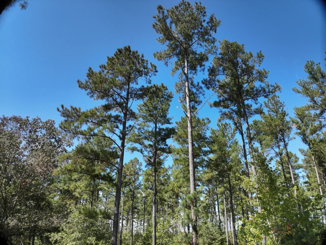
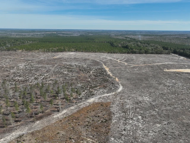
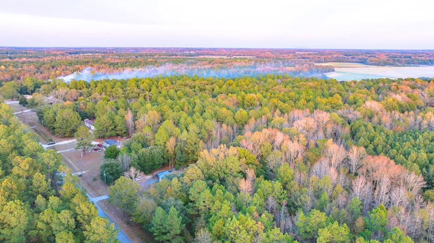
Situated just north of Wagener in Aiken County, this 40.7 acre tract provides a versatile layout with a combination of open land, timber, and established access features.The property offers approximately 500 feet of frontage along Sand Dam Road (Highway 113), allowing for convenient access and potential for multiple entry points. The front portion of the tract consists of open, tillable ground that may be utilized for agricultural purposes, pasture, or a potential homesite. Scattered mature oak trees within this area contribute to the overall landscape and provide natural shade.As the property transitions toward the interior, it features a network of trails and fire breaks that allow for navigation throughout much of the acreage and support recreational use, such as trail riding, hunting access or land management activities.The rear portion of the tract includes established potential food plot locations, offering opportunities for wildlife management. The timber consists of a naturally regenerating mix of pine and hardwood species, creating a blend of cover and habitat diversity.The layout of the property supports a range of uses, including hunting, outdoor recreation, and rural residential development. The relatively level terrain enhances usability and accessibility across the tract. In addition to providing recreational and homesite potential, this tract also offers an ideal foundation for those looking to implement a mini farm or equestrian property.This property is directly contiguous with an additional 23 acre tract that is also being offered for sale. The seller may consider competitive pricing for buyers interested in purchasing both properties together, providing an opportunity to assemble a larger, more flexible landholding.Note: A portion of Aiken County Tax Map #270-00-06-001 is proposed to be subdivided, with approximately 23 acres to be conveyed. A survey will be completed prior to closing to establish final boundaries. Additionally, there is potential for further subdivision of this tract and the adjoining 28.86 acre parcel (Tax Map #279-00-04-005) into three parcels consisting of approximately 26.29 acres, 22.09 acres, and 20.89 acres. All subdivision concepts shown in marketing materials are for illustrative purposes only. Final acreage, boundaries, and configurations are subject to survey and approval by a licensed surveyor and any applicable governing authorities.
Details
County: Aiken
Zipcode: 29164
Property Type One: Farms
Property Type Two: Ranches
Property Type Three: Recreational Property
Brokerage: Whitetail Properties Real Estate
Brokerage Link: https://www.whitetailproperties.com/agents/joseph-m-gonzalez
Apn: 270-00-06-001

Joe Gonzalez
Whitetail Properties Real Estate
(803) 460-5104
By clicking the button, you agree to our Terms of Use and Privacy Policy.


Nearby Listings
Lexington County, SC
$1,550,000 - 31 ac.
Lexington County, SC
$74,900 - 0 ac.
Orangeburg County, SC
$3,089,000 - 703 ac.
Aiken County, SC
$782,000 - 104 ac.
Saluda County, SC

$495,000 - 6 ac.
Orangeburg County, SC
$125,000 - 8 ac.
Orangeburg County, SC
$19,900 - 3 ac.
Saluda County, SC

$750,000 - 52 ac.
Saluda County, SC
$30,000 - 2 ac.
Orangeburg County, SC
$180,000 - 25 ac.