

Noble County Ohio Land for Sale
Pump Station Road, Caldwell, OH | Lat/Lng: 39.7416, -81.3427
$155,000
34 ac.
09/18/2026
ACTIVE
Description
Noble County Ohio Land for Sale
Call Buckeye Land Pro Tyler Haessly at 740-525-4582 to schedule your showing!
Land for Sale in Ohio
For Sale: 34 Acres, 25869 Pump Station Road, Caldwell, OH 43724
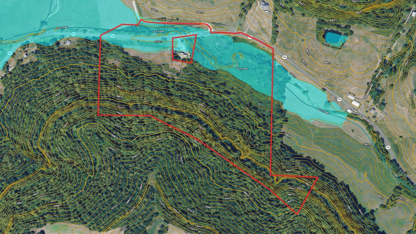
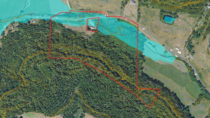
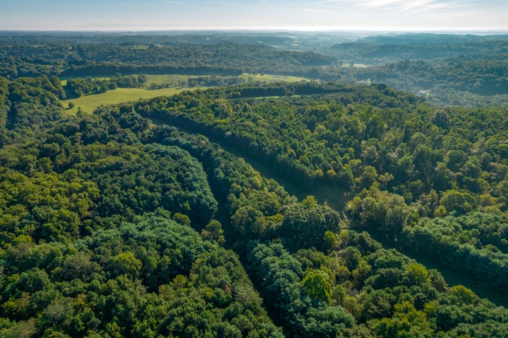
Call Ohio Land Pro Tyler Haessly today at 740-525-4582 for your own private showing. This is 34 acres of timber, pasture and creek frontage on a paved road in Stock Township, Noble County, sold whole. Elk Fork, a named creek on the federal stream map, runs close to fifteen hundred feet through the low ground along the north side. The hillside climbs 266 feet from the creek to a ridge corner at just over a thousand feet, and two thirds of the tract is hardwood timber on that north-facing slope. The creek flat and the east side are open ground, pasture and old hay ground you can cut, graze or plant to food plots. For the hunter, the food, the cover and the water are all inside one boundary: timber for bedding, open ground for feeding, and Elk Fork for water, with the deer already photographed on the ground. Hang a stand where the woods meet the open ground along the east line, walk in off the pavement in the dark, and sit the morning with the creek below you. Noble County hunters checked close to 3,700 deer in a single season, the county sits nowhere near Ohio's disease surveillance zone, and public ground is close: Ales Run Wildlife Area six miles, Wolf Run State Park nine, the Wayne National Forest in the same county. For the builder, the two things a build needs are already at the line: about nine hundred feet of paved frontage on Pump Station Road and electric at the road, with a building site on the east-side rise above the creek. There are no structures to tear down. Summerfield is under five road miles, Caldwell and Interstate 77 are about twelve, Cambridge and Interstate 70 are forty-five minutes, and Marietta on the Ohio River is under an hour. Noble County was the last county Ohio formed and the place where oil was first struck in North America, in 1814. Mineral rights are reserved by the seller. Give Ohio Land Pro Tyler Haessly a call today at 740-525-4582 for more details about this exceptional property and to schedule your private tour.
Ohio Land for Sale Details:
• 34 acres +/-, sold whole, six county parcels: 340021390000, 340021426000, 340021391000, 340021428000, 340021186000, 340021434000
• Stock Township, Noble County, Ohio; Noble Local School District
• Elk Fork creek frontage, close to 1,500 feet inside the boundary
• Hardwood timber on about two thirds of the tract; pasture and open ground on the creek flat and east side
• About 900 feet of paved road frontage on Pump Station Road, plus frontage on Smithberger Road
• Electric at the road; building site on the east-side rise
• Elevation 747 to 1,013 feet, 266 feet of relief
• No structures
• Mineral rights reserved by the seller
• Coordinates: 39.7472, -81.3555
• Annual taxes: about $465 (2025, six parcels combined)
Local Attractions:
• Ales Run Wildlife Area, 6 miles
• Wolf Run State Park, 14 road miles
• Seneca Lake, 19 road miles
• Wayne National Forest, Marietta unit, nearest ownership 6 miles
• Salt Fork State Park, 45 road miles
• Marietta and the Ohio River, 37 road miles
• Showings STRICTLY by appointment only
• Licensed Agent MUST be present for all showings
• All information deemed reliable but not guaranteed
Listing Agent:
Name: Tyler Haessly Phone: 740-525-4582
Details
County: Noble
Zipcode: 43724
Property Type One: Recreational Property
Property Type Two: Residential Property
Property Type Three: Hunting Land
Brokerage: Buckeye Land Sales
Brokerage Link: www.buckeyelandsales.com

Buckeye Sales
Buckeye Land Sales
(866) 341-5263
By clicking the button, you agree to our Terms of Use and Privacy Policy.


Nearby Listings
Noble County, OH
$550,000 - 20 ac.
Morgan County, OH
Auction - 129 ac.
Guernsey County, OH
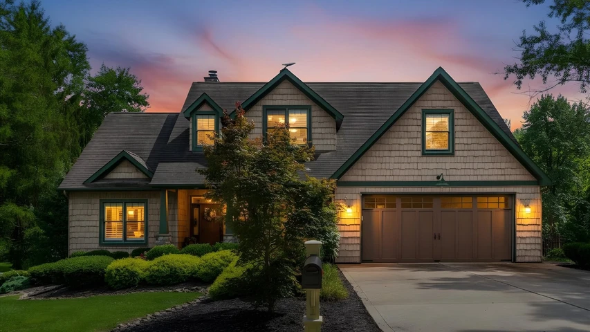
$1,100,000 - 0 ac.
Guernsey County, OH

$1,100,000 - 71 ac.
Guernsey County, OH
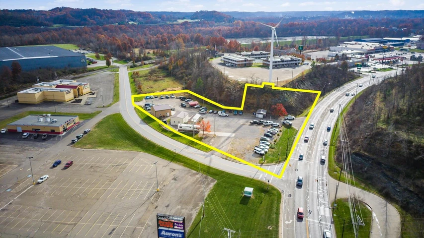
$643,000 - 2 ac.
Guernsey County, OH

$50,000 - 3 ac.
Washington County, OH
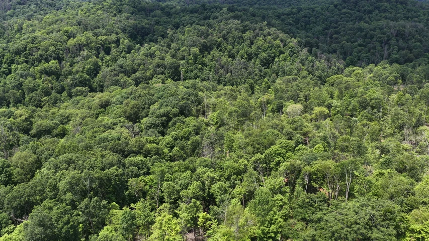
$80,000 - 16 ac.
Washington County, OH
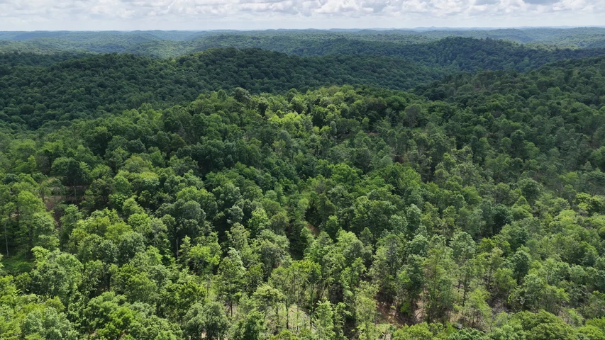
$44,000 - 8 ac.
Washington County, OH

$55,000 - 10 ac.
Muskingum County, OH
$791,500 - 139 ac.