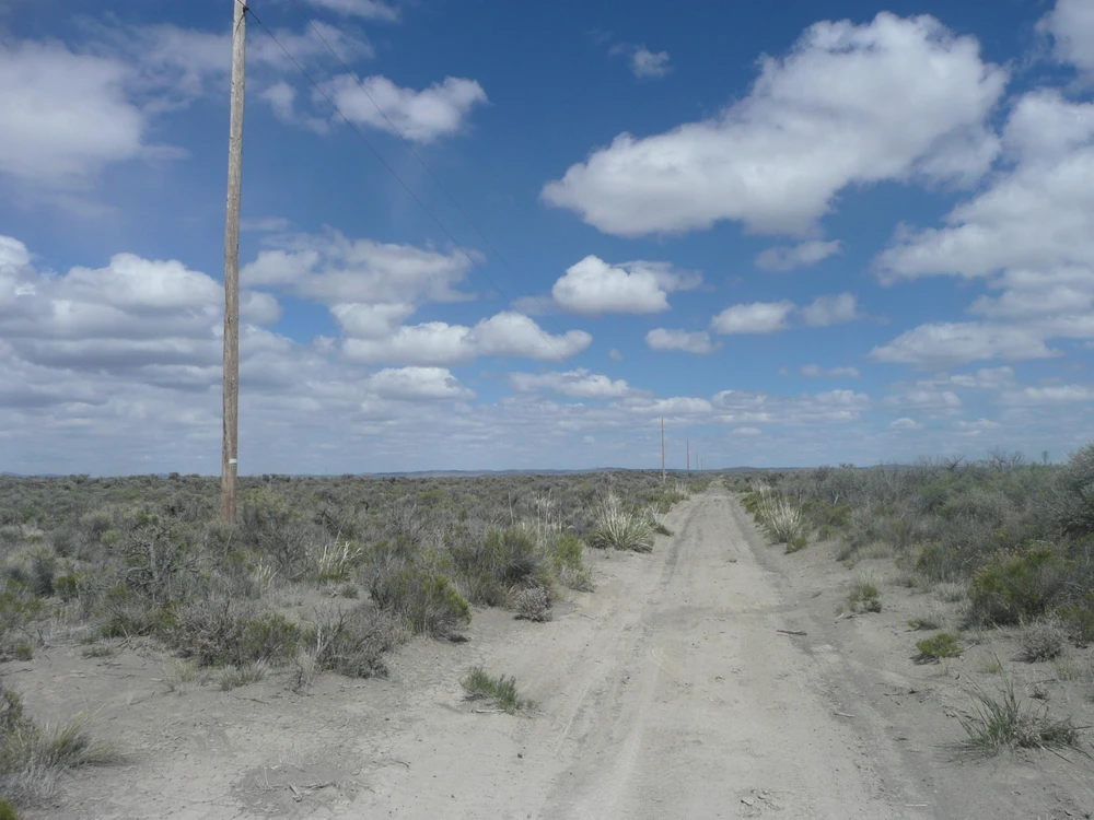
80 Acres For Sale Christmas Valley Oregon
Off Fossil Lake Road, Christmas Valley, OR | Lat/Lng: 43.2973, -120.5076
$75,999
80 ac.
10/03/2025
ACTIVE

Description
CASH OR OWNER FINANCING---NO CREDIT CHECKS ---
This 80 acre lot (Lot 1300) would be a great building lot for a home,cabin or solar project. This parcel has electricity available at property on Bothern Road, beautiful mountain views and is located on a dirt road on the way to the Christmas Valley Sand Dunes. So if you are a hunter, camper or hiker, you would be close to The Lost Forest and the sand dunes for exploring.This parcel is located on the east side of the Christmas Valley and lot 1300 is located out of town on East Bothern Road in Christmas Valley, Oregon. This lot is located just off paved Christmas Valley Highway and paved Fossil Lake Road. The new owner would have to get a CUP ( conditional use permit) to build on the property through Lake County Oregon ( Lake County Planning/ 541-947-6036 ). Sewer would be by septic and water by well for the new owner to hook up to. Power is available on East Bothern Road( which is a dirt road).This 80 acre parcel is huge and is located near the Christmas Valley Sand Dunes. Cell phones work great in Christmas Valley, Oregon. This is one of the most outstanding lots that we have had for sale recently and it has many amenities which should make this an excellent investment for its new owner.
Lot 1300 could be a great parcel to use as a building lot, camping lot, hunting lot or build a cabin on. This parcel also could be used as a weekend getaway.
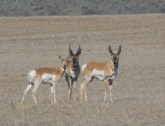
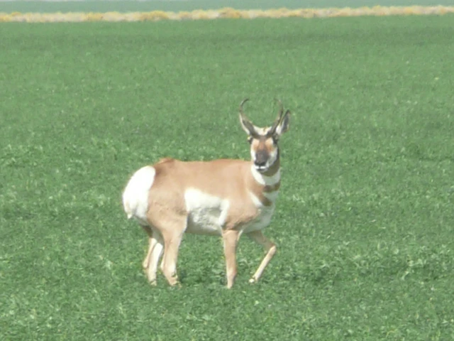
Although there are a few farms and homes in the area, there is plenty of natural wilderness which attracts wildlife to your back door. Antelope, wild deer, jack rabbits and coyotes run all across the natural landscape of the Christmas Valley area.
Property Facts:
Power: Power poles on East Bothern Road.(New Owner Installs)
Phone: Cell phone accessible.
Water: By well or holding tank. (New Owner Installs)
Sewer: By septic. (New Owner Installs)
TV / Cable: Unknown.
Gas: Unknown. Propane is usually used in rural areas.
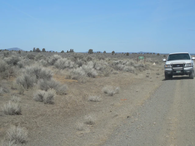
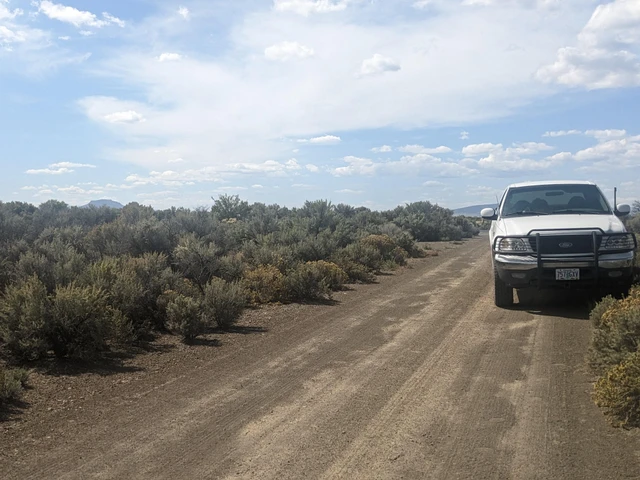
Access: Dirt road frontage on south side of property.
Zoning: A-2. New Owner would need CUP to build.
Time Limit to build: None.
Topo: Level.
Elevation: Roughly 4500 FT above sea level.
Property Taxes: About $300.00 per year and current.
Conveyance: Special Warranty Deed.
GPS Coordinates:43.29567399,-120.51235960
Parcel size: 80 Acres +/-
Legal Description: Township 26, Range 19 East of the Willamette Meridian,
Section 19: The S 1/2 of the SE 1/4.
APN #: 2163
Cash Price: $75,999.00 OR
Owner Financed Deals:
Owner Financed Deal: Price $78,999.00
$1,000.00 Down Payment/ At 8% Interest
Monthly Payment: $652.41 for 20 Years
Fast Pay Option: Cash Price $75,999.00
Down Payment: $6,333.25 12 Months/Same as cash
Monthly Payment: $6,333.25 For 12 Months
Details
County: Lake
Zipcode: 97641
Property Type One: Recreational Property
Property Type Two: Residential Property
Property Type Three: Undeveloped Land
Brokerage: The Owner Terms Land Network LLC
Brokerage Link: www.OwnerFinancedLand.com
Apn: 2163

Jesse Ivy
The Owner Terms Land Network LLC
(541) 350-8606
By clicking the button, you agree to our Terms of Use and Privacy Policy.


Nearby Listings
Lake County, OR
$9,800,000 - 5956 ac.
Lake County, OR
$11,520 - 20 ac.
Lake County, OR
$3,999,000 - 288 ac.
Lake County, OR
$19,999 - 10 ac.
Lake County, OR
$11,999 - 5 ac.
Lake County, OR
$19,999 - 10 ac.
Lake County, OR
$11,999 - 0 ac.
Lake County, OR
$198,000 - 0 ac.
Lake County, OR

$1,999,999 - 274 ac.
Lake County, OR

$11,000 - 10 ac.