
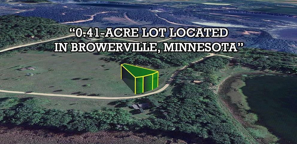
19-0071000 – 0.49 Acres – Ode Cir, Browerville, MN 56438
Ode Cir, Browerville, MN | Lat/Lng: 46.1948, -94.7932
$11,200
0.49 ac.
02/04/2026
ACTIVE

Description
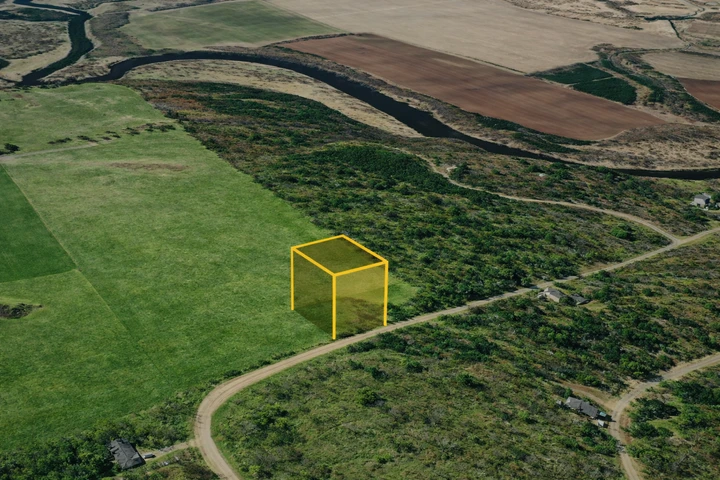
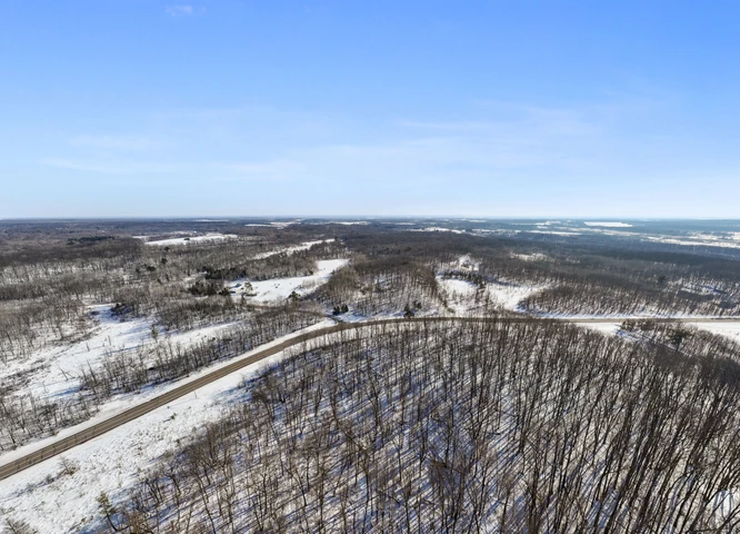
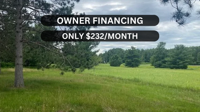
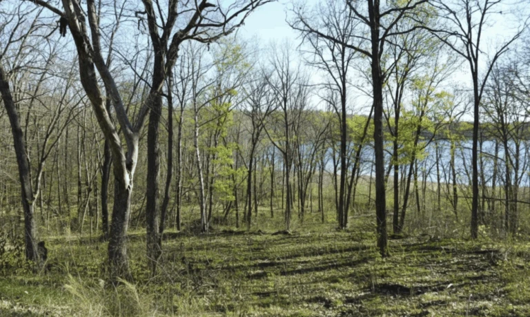
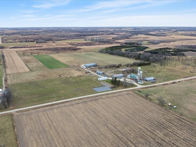
Owner Financing Available 0.49-Acre Lot in the Peaceful Prairie River Heights Subdivision This large lot in Browerville, MN, offers an excellent opportunity to enjoy a balanced lifestyle surrounded by natural beauty. Located in Todd County, the property sits near four beautiful lakesFawn Lake, Turtle Lake, Pine Island Lake, and Little Pine Lakeperfect for fishing, boating, and year-round recreation just minutes away. With space to build a stick-built or modular home of at least 600 sq. ft., you can design a retreat that fits your lifestyle. Browerville blends small-town charm with access to larger city conveniences. New development in the county and steady growth across Minnesota make this area an attractive place to invest. Utilities include power available through Todd-Wadena Electric Co-Op, while a well and septic are required for water and sewer. As part of the Sylvan Shores community, you'll also have access to shared amenities for added value. Flexible owner financing is available with low down and monthly payments, making it easy to secure your spot in this growing area. Don't miss outcall us today!
PROPERTY DETAILS
APN: 19-0071000
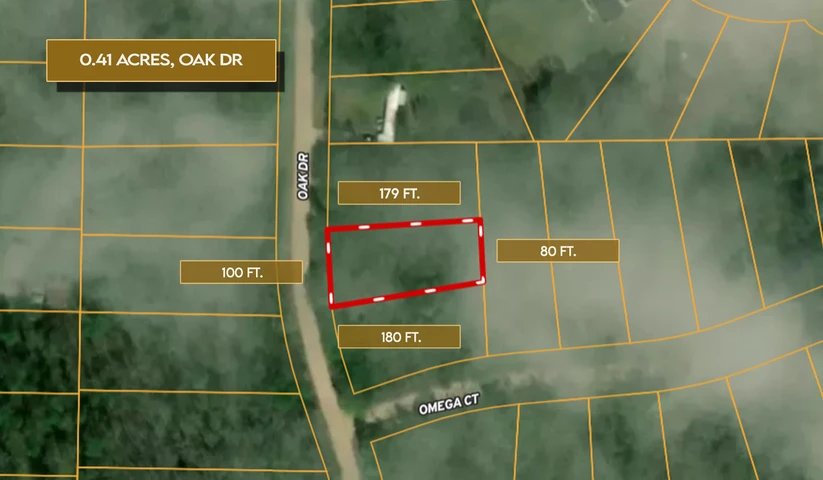
Size: 0.49 Acres
County: Todd
State: Minnesota
Legal Description: Lot 13, Block 4, Prairie River Heights
Zoning: Vacant - Single Family Residential
Terrain: Level
Elevation: 1300'
Access: Dirt Road
Dimensions: 120' x 177' x 120' x 177'
Conveyance: Warranty Deed
Annual Taxes: $18.00
UTILITIES
Power: Provided by Todd-Wadena Electric Co-Op at (218) 631-3120
Water: A Well is required - MN Dept. of Health Well Permit (651) 201-4600
Sewer: A Septic Tank is Required - Todd County Permits (320) 732-4420
WHAT'S ALLOWED
RV Living: Not Allowed
Mobile Homes: Not Allowed
Manufactured Homes: Not Allowed
HOA / POA INFORMATION
POA: Sylvan Shores Property Owners Association
Annual POA Fee: $120.00
GPS COORDINATES
GPS Center: 46.1948, -94.7932
NW Corner: 46.1948, -94.7935
NE Corner: 46.1948, -94.7930
SW Corner: 46.1943, -94.7935
SE Corner: 46.1943, -94.7930
Details
County: Todd
Zipcode: 56438
Property Type One: Undeveloped Land
Brokerage: GatewayLandInvestments.com
Brokerage Link: www.gatewaylandinvestments.com

Gateway LLC
GatewayLandInvestments.com
(320) 301-1824
By clicking the button, you agree to our Terms of Use and Privacy Policy.


Nearby Listings
Todd County, MN
$1,500,000 - 40 ac.
Todd County, MN

$3,200,000 - 615 ac.
Crow Wing County, MN
$15,999 - 1 ac.
Todd County, MN
$11,500 - 0 ac.
Todd County, MN
$11,500 - 0 ac.
Morrison County, MN
$659,900 - 98 ac.
Todd County, MN
$7,500 - 0 ac.
Todd County, MN
$10,999 - 1 ac.
Todd County, MN
$34,500 - 1 ac.
Todd County, MN
$510,000 - 80 ac.