
318.51 ± Mixed-Use Acres in Ness County, Kansas
n/a., McCracken, KS | Lat/Lng: 38.5166, -99.6011
$621,095
318.51 ac.
09/22/2026
ACTIVE
Description
318.51 Acres in Ness County, KansasProperty Description
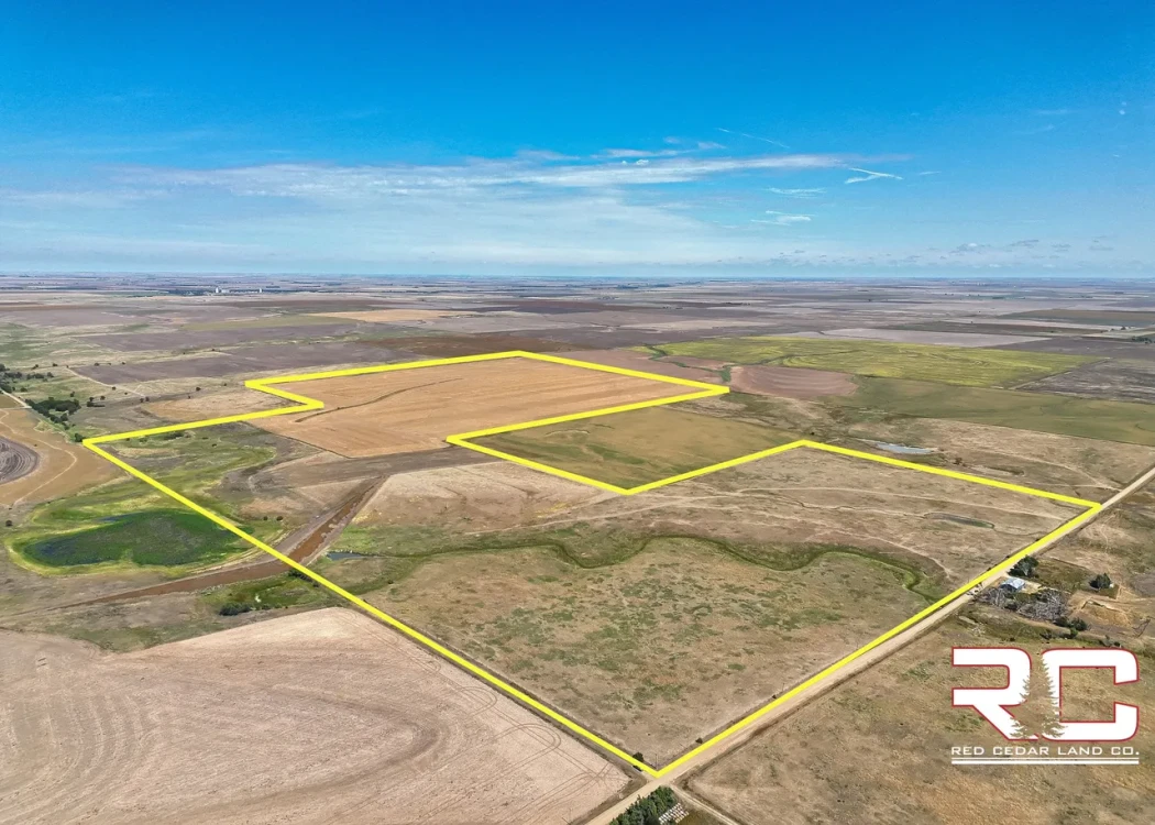
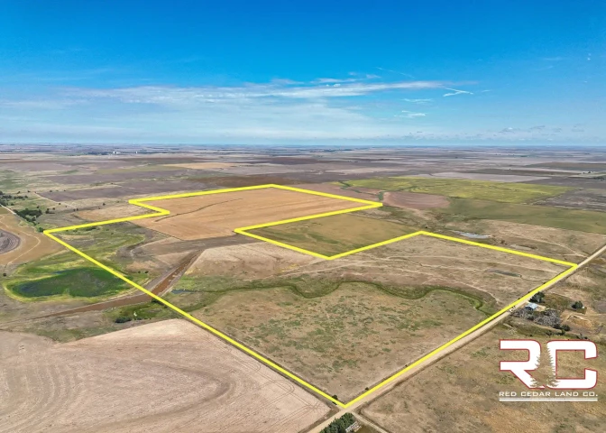
Located in eastern Ness County, this parcel sits approximately 3 miles from both K-96 Highway and K-4 Highway. The property offers a diverse combination of productive tillable acres and native grass pasture.
A large watershed located near the center of the parcel along the western boundary has historically served as a roosting location for migrating waterfowl. Although the watershed is currently considerably low due to drought conditions, a normal rainfall year can be expected to attract migrating species such as mallards, pintails, white-fronted geese, snow geese, and lesser Canada geese.
Property Details
Legal Description: S01, T18, R21, Acres 318.51, W2 NE4 & E2 NW4 & SW4 NW4 & W2 SW4 & SE4 SW4, less road right-of-way
Soil: The soil profile consists primarily of Class II Harney silt loams.
Topography: The parcel consists primarily of 1% to 6% slopes. The elevation range is approximately 82.4 feet, with a standard deviation of 16.63 feet.
Tillable Acres: There are approximately 175 tillable acres. The tillable acres currently consist of recently harvested corn stubble. These acres lie well and consist primarily of 0% to 3% slopes.
Native Grass Pasture: Approximately 143 acres consist of native grass pasture. The majority of these acres are enclosed by newer barbed-wire fencing. Portions of the native grass pasture north and east of the watershed have historically been used for hay production.
Water Features: Centrally located along the western property line is a watershed pond. During a normal rainfall or wet year, this pond becomes considerably larger and extends east of its current location shown in the listing photographs. Migratory birds and white-tailed deer take advantage of the consistent water source provided by the watershed. Historically, this watershed has served as a regular roosting location for migrating waterfowl.
In addition to the larger watershed pond, there is a tailwater pond on the back side of the watershed that has historically provided water for both livestock and wildlife.
Tenancy: There are no written or verbal tenancy agreements currently in place.
Possession: Possession of both the pasture and tillable acres will be delivered upon closing. If the tillable acres have been planted to wheat, the sellers are open to conveying the wheat crop to the buyer upon reimbursement for their input costs. The sellers will also consider entering into a tenancy agreement if the new owner needs an operator.
Mineral Rights: All seller-held mineral rights will convey to the buyer at closing. There is currently no mineral production.
Key Features
Class II soils
Productive tillable acres
Watershed pond
Newer fencing
Native grass pasture
For more information or to schedule a private showing, contact Cody Crook at 620-617-7320
Details
County: Ness
Zipcode: 67556
Property Type One: Farms
Property Type Two: Ranches
Property Type Three: Hunting Land
Brokerage: Red Cedar Land Co.
Brokerage Link: https://redcedarland.com/cody-crook/
Apn: 1310100000002000

Cody Crook
Red Cedar Land Co.
(620) 617-7320
By clicking the button, you agree to our Terms of Use and Privacy Policy.


Nearby Listings
Rush County, KS

Auction - 1499 ac.
Ellis County, KS
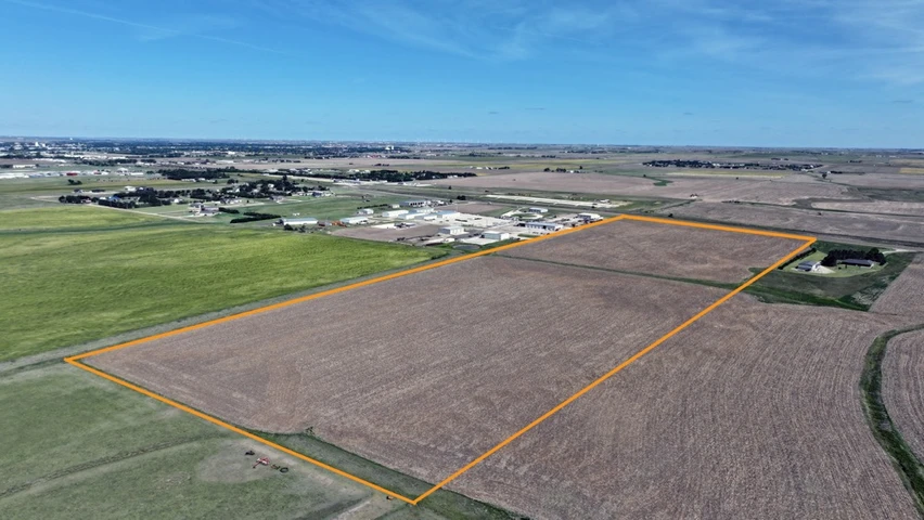
$550,000 - 53 ac.
Ness County, KS

$642,000 - 315 ac.
Rush County, KS
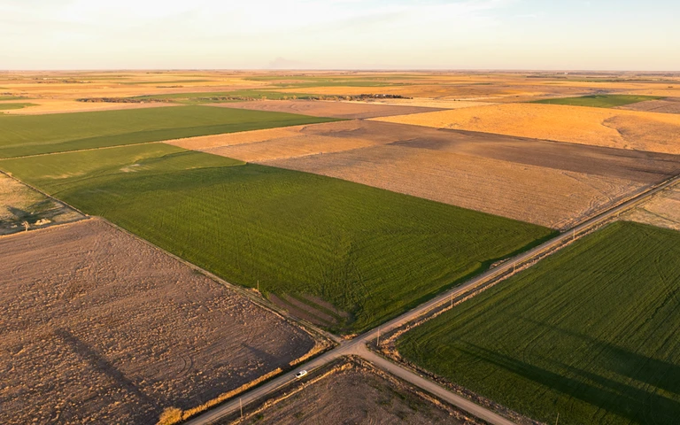
$312,000 - 153 ac.
Hodgeman County, KS
$549,000 - 159 ac.
Rush County, KS

$343,837 - 215 ac.
Pawnee County, KS
Auction - 191 ac.
Ellis County, KS

$775,000 - 42 ac.
Pawnee County, KS
$160,080 - 70 ac.
Hodgeman County, KS

$115,000 - 0 ac.