
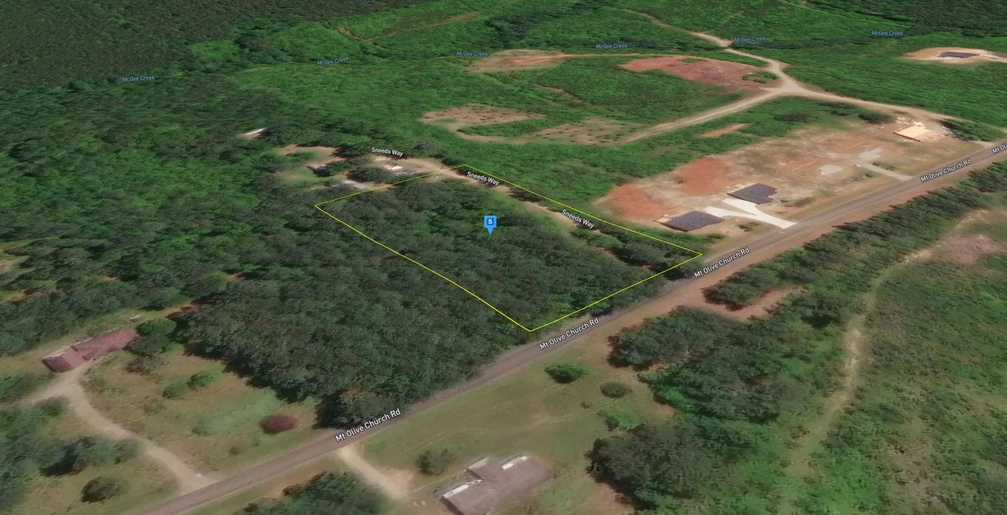
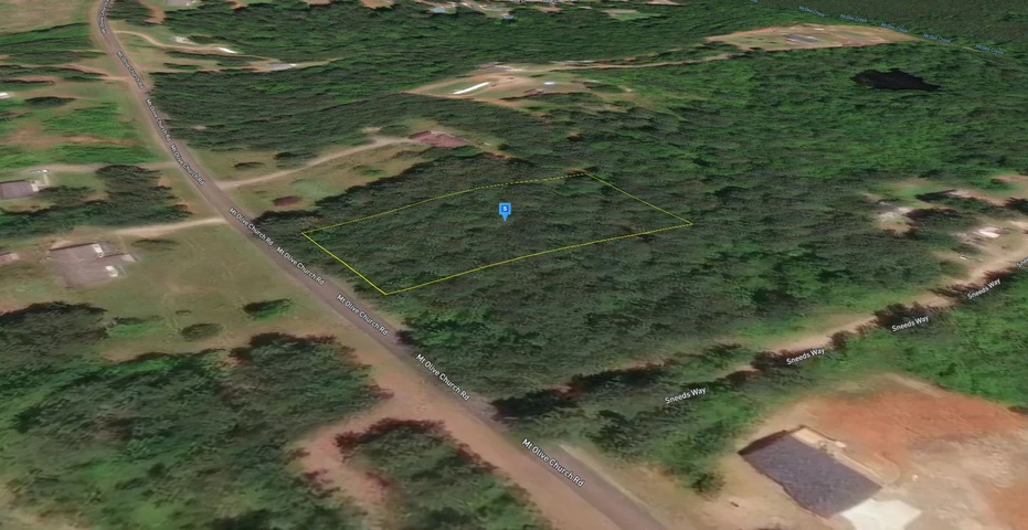
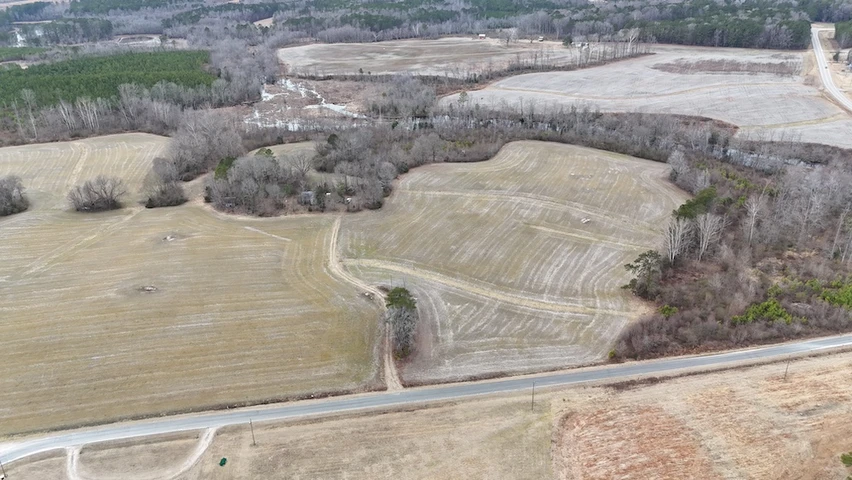
2.24 Acres For Sale in Franklin County North Carolina!
Mount Olivet Church Road, Franklinton, NC | Lat/Lng: 36.1381, -78.4926
$99,900
2.25 ac.
02/25/2026
ACTIVE

Description
Interested in this property? Call, text, or email us today for more details!
(540) 824-3372
Feel free to visit the property any time, no need to set up an appointment, this property has no address.
Subscribe to email alerts by texting your e-mail address to (541) 375-0012 and be the first to know when we get a great deal in.
By texting (541) 375-0012 you authorize Country Land Group to send text messages with offers & other information, possibly using automated technology, to the number you provided. Message/data rates apply. Consent is not a condition of purchase. You may unsubscribe at any time.
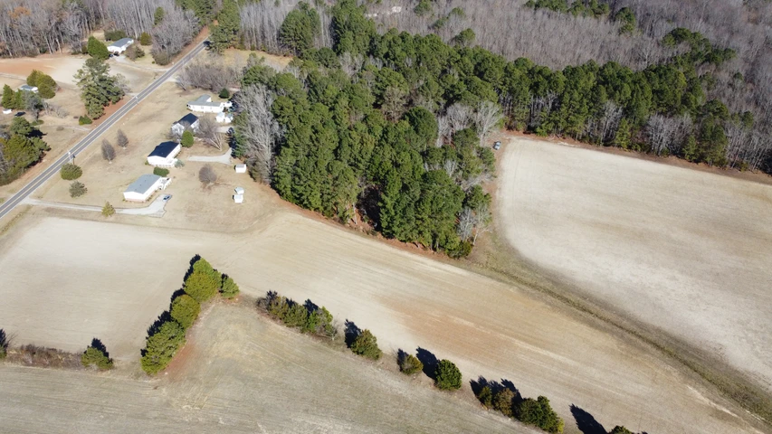
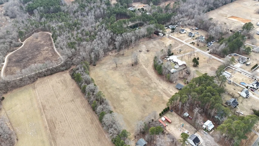
Discover the freedom to create your ideal homestead or investment on this versatile property located on Mt. Olivet Church Road. Zoned Agriculture Residential (AR), this parcel offers the perfect mix of peaceful country living and residential opportunity. With no HOA and subdividable potential, you can build your dream home, family retreat, or future development. Electricity is available at the street, while a well and septic will be needed. Possible deed restrictions may apply.
Conveniently located just 5 minutes from Franklinton for everyday essentials, and within easy reach of Raleigh and Durham, this property combines rural charm with access to major city amenities in a growing and desirable area.
Perk test results and survey available upon request.
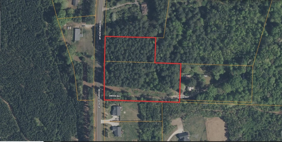
Address: Mount Olivet Church Rd, Franklinton, NC, 27525
Cash Discount Price: $99,900.00
*There is a $1000 deposit required with all purchases. $500 is a non refundable transaction fee and the remaining $500 would be applied to the purchase price at time of closing.
Owner Financed Price: $99,900.00
Owner Financing Terms: $39,900.00 down and $1,611.46/month for 48 months.
*Applicable fees may apply including but not limited to $35/ month servicing fee and 12.9% interest for owner financing. Buyer is responsible for annual property tax. Contact Country Land Sellers for more details. Monthly payment subject to change based on down payment. Monthly payment shown is an estimate only.
County: Franklin
Acres: 2.24 Acres (Raw Land)
Coordinates: 36.1254, -78.49639
Parcel #: 026730
Yearly Estimated Taxes: $246.34
Elevation: 529 FT
Property Dimensions: 440.28 FT X 223.01 FT X 434.15 FT X 220.62 FT
Zoning: Agricultural Residential (AR)
County Planning and zoning phone #: Planning (919) 496-2909
Does this property have an HOA?: No
Does this property have a survey?: Yes
Elementary school: Franklinton Elementary School
Middle school: Franklinton Middle School
High school: Franklinton High School
Phone # for electric company: Duke Energy Progress (800) 521-2232
Wake Electric (800) 474-6300
Legal Description: Prf 3 Sl 90/271 AND Sw On Prop/No Value
If this property is not what you are looking for, go to our website and sign up for our deal alerts; you will be notified whenever we have a new property for sale! Or, e-mail, call or text us, and we may be able to find the property you are looking for.
Details
County: Franklin
Zipcode: 27525
Property Type One: Recreational Property
Brokerage: Country Land Sellers
Brokerage Link: countrylandsellers.com

Luke Harris
Country Land Sellers
(540) 824-3372
By clicking the button, you agree to our Terms of Use and Privacy Policy.


Nearby Listings
Nash County, NC
$360,000 - 23 ac.
Person County, NC

$11,900,000 - 134 ac.
Franklin County, NC

No Price - 44 ac.
Franklin County, NC
$79,900 -
Wake County, NC
$850,000 - 11 ac.
Franklin County, NC

$179,000 - 10 ac.
Franklin County, NC
$249,900 - 10 ac.
Franklin County, NC
$114,900 - 3 ac.
Vance County, NC
$11,745 - 1 ac.
Warren County, NC

$869,667 - 43 ac.