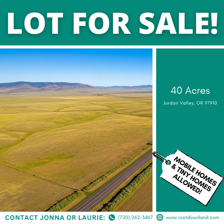
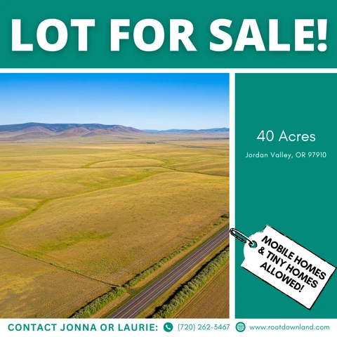
40 Acres in Jordan Valley, OR — Flexible Use | Off-Grid Friendly
Jordan Valley, OR | Lat/Lng: 42.6695, -117.7771
$18,000
40 ac.
10/02/2024
ACTIVE
Description
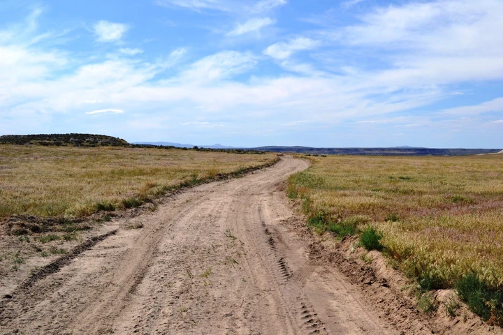
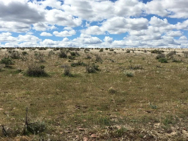
If you’re looking for space, privacy, and long-term flexibility, this 40-acre parcel in Jordan Valley delivers exactly that.
Zoned Exclusive Range Use (CA-2), this property allows for tiny homes or mobile homes, making it a strong option for off-grid living, recreational use, or a long-term land hold. With wide-open views and no HOA restrictions, you’re free to use the land your way — with proper county approval.
This is raw Oregon land with real potential for buyers who understand rural property and are willing to plan ahead.
WHY THIS PROPERTY STANDS OUT
40 usable acres in Malheur County
No HOA or POA
Tiny homes & mobile homes allowed (with county process)
Ideal for off-grid living, recreation, or long-term investment
Owner financing available
Quiet, remote location with wide-open high desert views
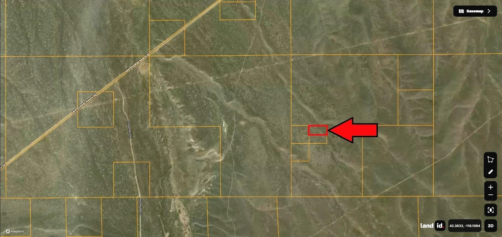
Jordan Valley, OR 97910
County: Malheur
?? Center GPS Coordinates:
42.66953, -117.77707
?? How to Find the Property:
Start with 0 Gilbert Ranch Rd, Jordan Valley, OR 97910 in your mapping app. This will get you near the area.
From there, enter the GPS coordinates above to locate the exact parcel.
Cash Price: $18,000
Owner Financing Available:
Purchase Price: $32,000
Down Payment: $13,258.05 (includes 4-month tax reserve & doc fees)
Monthly Payment Options:
$427.42 / month for 72 months
$478.35 / month for 60 months
$555.79 / month for 48 months
No banks. No credit checks. Simple terms.
IMPORTANT ACCESS & BUILDING NOTES
This property is zoned Exclusive Range Use (CA-2).
County zoning requires 360 acres for standard residential building approval
Buyers may pursue a non-farm dwelling application with the county
Legal access can be established with proper planning and effort
This property is best suited for buyers who are:
Comfortable with rural land
Willing to work with the county
Looking for long-term potential rather than immediate construction
We encourage buyers to verify intended use directly with Malheur County before purchase.
PROPERTY DETAILS
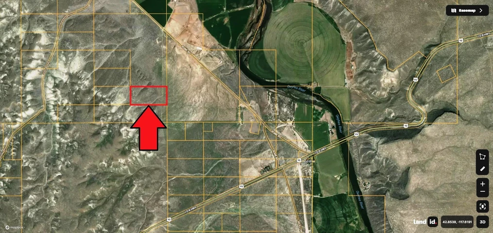
Parcel Number: 12398.0
Parcel Size: 40 Acres
Elevation: 3,840 ft
City: Jordan Valley
Zip Code: 97910
Corner GPS Coordinates:
NE: 42.6714, -117.7747
SE: 42.6677, -117.7746
SW: 42.6677, -117.7795
NW: 42.6714, -117.7796
NEXT STEPS
We make the purchase process simple and transparent.
Transactions are handled through a reputable third-party title company
Clear title and proper documentation
No pressure — just straightforward communication
Message or call us today to ask questions or secure the property.
IMPORTANT DISCLOSURES
Buyer must perform their own due diligence. Property is sold as-is. All information provided is believed to be accurate but is not guaranteed. Buyer is responsible for verifying zoning, access, boundaries, utility availability, and intended use with the county. Some images may represent the surrounding area and not the exact parcel.
Seller makes no warranties regarding land condition, buildability, utilities, or future county approvals.
Details
County: Malheur
Zipcode: 97910
Property Type One: Recreational Property
Property Type Two: Undeveloped Land
Property Type Three: Hunting Land
Brokerage: Root Down Land
Brokerage Link: www.rootdownland.com
Apn: 12398

Laurie Halter
Root Down Land
(720) 262-3467
By clicking the button, you agree to our Terms of Use and Privacy Policy.