Cow Valley Ranch
John Day Highway, Ironside, OR | Lat/Lng: 44.3243, -117.9446
$1,200,000
1490 ac.
07/10/2025
ACTIVE

Description
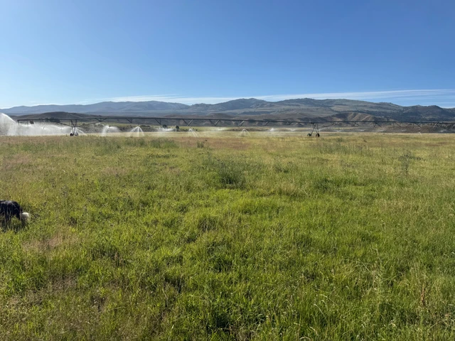
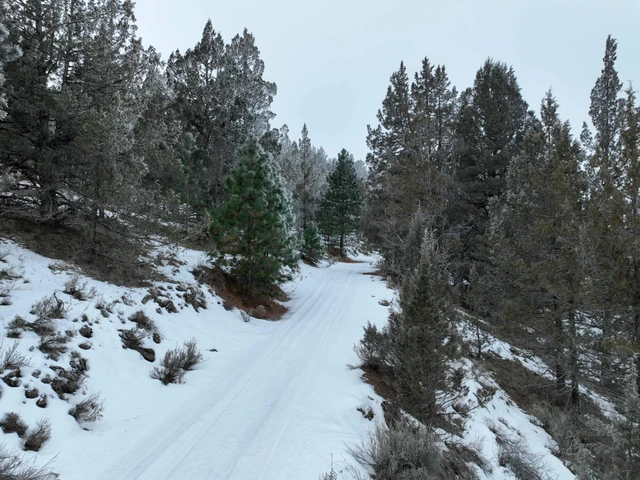
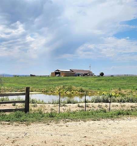
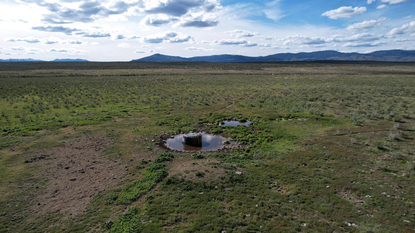
Newly combined acreage at a lower price. Sagebrush blends with natives grasses providing a great landscape for the cattle as well as the elk and deer. Within the Lost Valley Creek's watershed, a seasonal creek and several springs are available for the stock water tanks, and also attracts wildlife. Some of the best hunting land in the area. The highway on the south boundary provides direct access to the property and also power and fiber optic cable. Along with this land, there is BLM land nearby expanding your outdoor playground. Ironside Mountain, Cow Valley Butte and Juniper Mountain are all in close proximity and less than an hour to Vale, Oregon.
Details
County: Malheur
Zipcode: 97908
Property Type One: Recreational Property
Property Type Two: Undeveloped Land
Property Type Three: Hunting Land
Brokerage: Knipe Land Company
Brokerage Link: www.knipeLand.com

Janey Knipe
Knipe Land Company
(208) 345-3163
By clicking the button, you agree to our Terms of Use and Privacy Policy.