
1.74 Acres Laurel Springs NC New River Access
Island Ford Rd, Laurel Springs, NC | Lat/Lng: 36.4391, -81.3775
$29,497
1.74 ac.
03/03/2026
ACTIVE

Description
Owner Financing:
- $8999 down (plus the $0 doc fee)
- $8999 down $400.74/Mo for 72 months (plus prorated taxes and note maintenance fee)
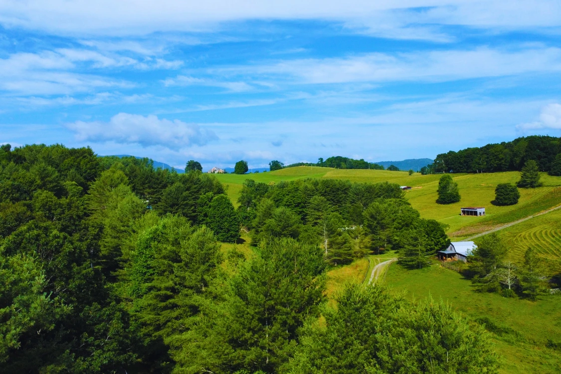
In this part of Laurel Springs, buyers arent looking for subdivisions or matching cabins.
Theyre looking for space. Freedom. Access to the river. And the ability to use their land their own way.
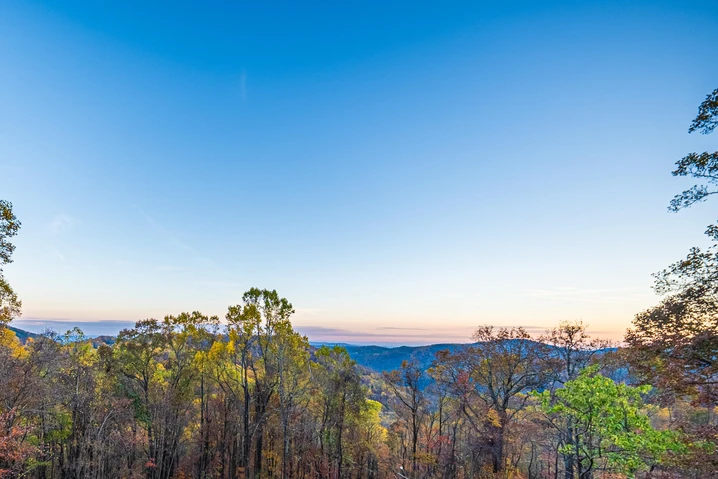
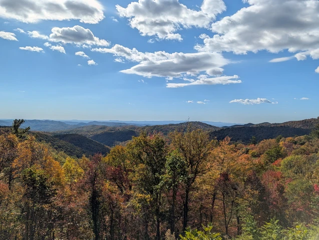
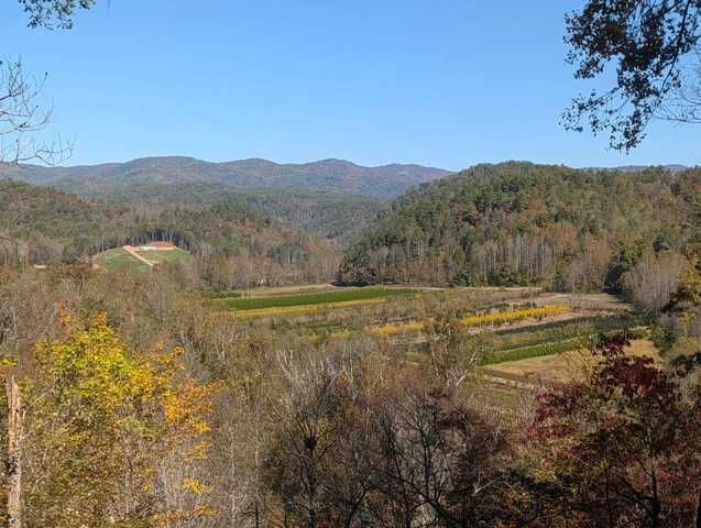
This 1.74-acre parcel offers reserved access to the New River and sits in a quiet mountain setting off Island Ford Rd. Its wooded, private, and unrestricted the kind of property people buy when they want something personal, not pre-planned.
Youre not buying into a development.
Youre securing your own piece of Ashe County.
1.74 Acres of Unrestricted Mountain Land
At 1.74 acres, this parcel gives you room to spread out without becoming overwhelming.
The land is wooded with natural mountain terrain and a peaceful feel. Theres privacy between neighbors and flexibility in how you shape the space over time.
Owners in this area use their properties in different ways. Some camp seasonally. Some build small cabins. Some bring an RV. Others simply hold their land and enjoy the river access.
There is no HOA and no known private deed restrictions limiting your options.
That freedom is why buyers choose this part of Laurel Springs.
Reserved Access to the New River
The New River is what draws many people here.
With reserved access, you can fish, paddle, relax along the shoreline, or spend quiet time near the water without paying for direct river frontage.
Its mountain privacy paired with real river usability.
For buyers searching for land near New River North Carolina, that combination continues to hold strong appeal.
Clear Mountain Road Access
Access begins from Island Ford Rd, a state-maintained paved road.
From there, Dancy Lane a dirt and gravel road leads into the sanctuary area, followed by a short internal dirt road to the parcel.
Legal access has been confirmed.
This is typical rural mountain access quiet, simple, and part of what makes this area feel removed in the best way.
Location: Laurel Springs, Ashe County NC
This property sits in the New River corridor of Laurel Springs, known for its peaceful atmosphere and strong demand for unrestricted land with river access.
Jefferson and West Jefferson are nearby for everyday needs, but once youre on the property, it feels like a retreat.
People buy here because it doesnt feel manufactured.
It feels like North Carolina mountains.
Property Overview
Size: 1.740 Acres
APN: 09334112047B
Location: Island Ford Rd., Laurel Springs, NC 28644
Annual Taxes: Approximately $40
HOA: None
Unrestricted: No known private deed restrictions
Power and internet are nearby.
Water would require a well. Wastewater would require septic.
Low annual taxes make it easy to hold long term.
Financing Details
Total Down Payment: $8,999 (includes $2,000 earnest deposit applied at closing)
Monthly Payment: $400.74
Structure: Deed of Trust and Promissory Note
Closing: Attorney-guided closing
We review the terms clearly so you understand everything before making a decision.
Take the Next Step
If youve been looking for unrestricted mountain land with New River access, it makes sense to pause and make sure this feels right.
This is a single 1.74-acre parcel in Laurel Springs. When its purchased, its no longer available.
Call to talk it through.
Ask your questions about the river access.
Ask how other owners are using their land.
Make sure it fits what you want to create.
Were here to have a straightforward conversation and give you clear answers so you can move forward feeling confident, not rushed.
State: NC
County: Ashe
Zip: 28644
Size: 1.74 acres
Apn: 09334112047B
Legal Description: Lot 47B as shown on a Plat of "The Sanctuary" which appears of record in the Ashe County Public Registry in Plat Book 5, at Page 146-A
Lat/Long Coordinates:
Nw: 36.439866, -81.377688
Ne: 36.439543, -81.376950
Sw: 36.438602, -81.378085
Se: 36.438481, -81.377634
Elevation: 2,936 feet
Annual Taxes: Approx. $36 per year
Zoning: Residential Property, Recreational Property, Hunting Land
Flood Zone: No
HOA/POA: No
Improvements: No improvements done.
Access: Dirt Road
Water: Will need to install a Well
Sewer: Will need to install a Septic System
Utilities: Electric, Internet
Owner Financing:
- $8999 down (plus the non refundable doc fee of $0)
$8999 down $400.74/Mo for 72 months (plus prorated taxes and note maintenance fee)
We do not offer owner financing for residential use or full-time living on the property during the financing term.
Details
County: Ashe
Zipcode: 28644
Property Type One: Recreational Property
Property Type Two: Residential Property
Property Type Three: Hunting Land
Brokerage: Grounded Properties Land
Brokerage Link: www.groundedpropertiesland.com/
Apn: 09334112047B

Chris Palsgrove
Grounded Properties Land
(919) 336-0864
By clicking the button, you agree to our Terms of Use and Privacy Policy.


Nearby Listings
Caldwell County, NC
$499,900 - 24 ac.
Watauga County, NC
$199,900 - 12 ac.
Ashe County, NC

$2,900,000 - 83 ac.
Avery County, NC

$199,900 - 1 ac.
Grayson County, VA
$825,000 - 33 ac.
Avery County, NC

$79,900 - 3 ac.
Wilkes County, NC

$49,900 - 10 ac.
Wilkes County, NC

$89,900 - 10 ac.
Caldwell County, NC
$299,900 - 45 ac.
Wilkes County, NC

$39,900 - 2 ac.