
1.21 acres in Anniston, AL - Finance for Less than $180/month
Fairway Heights, Anniston, AL | Lat/Lng: 33.6420, -85.8158
$13,500
1.21 ac.
08/29/2025
ACTIVE

Description
Seller financing is available on all of our properties. Low down payments, low monthly payments and no credit check. Everyone qualifies.
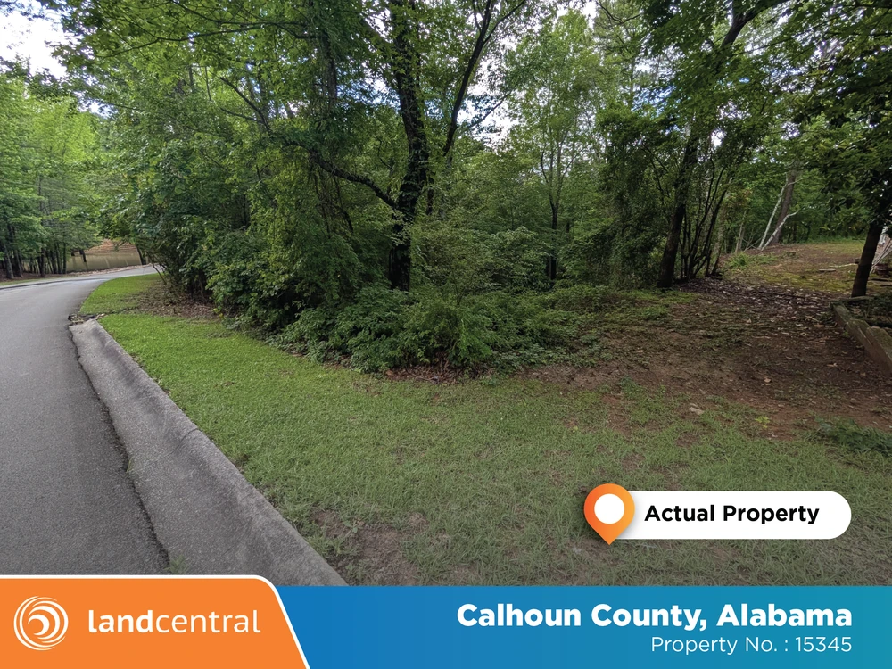
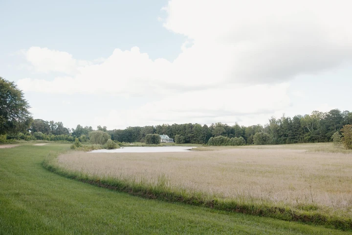
This expansive Anniston property offers a rare opportunity for country living with convenient access to city amenities. The land features a mix of open space and mature trees, providing a serene and private setting perfect for building your dream home or creating a peaceful retreat. With easy access to nearby highways, residents can enjoy both the tranquility of nature and the convenience of being just a short drive from local shopping, dining, and recreational spots. Whether youre looking for room to spread out or a quiet escape, this property offers endless possibilities.
Parcel Number: 112104171001001007
Size: 1.21 acres
Location: Calhoun County, AL
Legal Description: Sec 17 Tsp 16S Rng 08E Sunset Land Co add to Sunset Drive Blks 12 & 13 Add to Fairway Drive Blk 13 Lot 9 Anniston Al
Zoning: R1 (Residential District)
LandCentral Property Number: 15345
Details
County: Calhoun
Zipcode: 36207
Property Type One: Residential Property
Property Type Two: Undeveloped Land
Brokerage: LandCentral
Brokerage Link: www.landcentral.com/
Apn: 2104171001001007

LandCentral LandCentral
LandCentral
(360) 837-6080
By clicking the button, you agree to our Terms of Use and Privacy Policy.


Nearby Listings
Clay County, AL
$799,700 - 270 ac.
Randolph County, AL

$238,802 - 62 ac.
Etowah County, AL

$1,750,000 - 222 ac.
Etowah County, AL

$579,900 - 10 ac.
Randolph County, AL
$995,000 - 241 ac.
Cherokee County, AL

$220,000 - 1 ac.
Cleburne County, AL
$145,000 - 14 ac.
St. Clair County, AL
$9,405,000 - 2630 ac.
Talladega County, AL
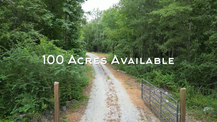
$350,000 - 100 ac.
Etowah County, AL
$142,000 - 29 ac.