

1.94 Acres With Beautiful Mountain Views! In Cotopaxi, Fremont County CO
County Road 28, Cotopaxi, CO | Lat/Lng: 38.3444, -105.5273
$14,999
1.94 ac.
08/07/2025
ACTIVE
Description
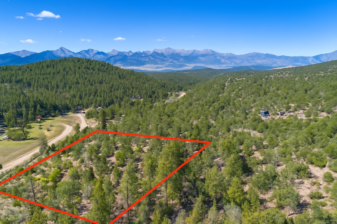
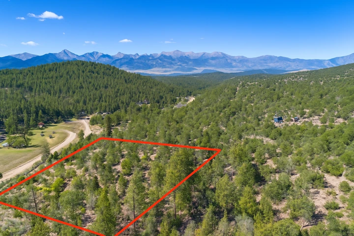
1.94 acres of high-country Colorado near Cotopaxi with real mountain views. This lot sits off County Road 28 in Fremont County at 7,565 feet, sloping uphill from the road so the views from the upper part run wide open across the Sangre de Cristo range. No flood zone. No HOA. Pueblo is about 45 minutes by car, and Colorado Springs is about an hour off US-50.
Power runs 192 ft south along County Road 28, which is the closest pole. Water would be a well drilled on the property. Sewage would be a septic system. The county wants the well and septic in before a residence is signed off, which is the normal path for high-country Colorado parcels.
Two things to be straight about on access and terrain. First, Fremont County calls this Legal Access Only. There is a legal right-of-way to the parcel, but the road itself is unimproved. You may need a 4WD or off-road vehicle to physically reach the property in winter or after weather. Most owners grade and gravel a driveway off CR 28 once they pick a build site. Call the county roads department to confirm what a driveway permit looks like. Second, the parcel rises uphill from the road, which is part of why the views are good. You will want to pick a build site with a level pad cut or use a slope-aware foundation, and a high-clearance vehicle is the right way to walk the lot the first time.
Owner financing is available on this lot. No banks. No credit checks. No prepayment penalties. Call or text us at (313) 349-0434 and we will work out monthly terms that fit your budget. Buying with cash? We cover your first year of property taxes.
This lot is zoned AE, Agricultural Estates. Site-built homes, manufactured homes, modular homes, and mobile homes are all allowed. Minimum building size is 400 square feet. RVs are allowed up to 2 weeks per calendar year.
The honest pitch. Mountain views, no HOA, power within 200 ft of the road, and a parcel under $17,000. Cotopaxi is 14 miles east of Salida on the Arkansas River corridor for fly fishing and rafting, and the Royal Gorge is a 30-minute drive.
Or Choose Your Owner Financing Plan Starting From $2,249 Down
To lock this property in your name, we need both a deposit and a signed purchase agreement. Call or text us anytime at (313) 349-0434 and we will walk through monthly payment options together.
Details
Address: County Rd 28, Cotopaxi, CO 81223
Parcel Number: 76005590
Legal Description: SE1/4 NW1/4 SW1/4 NE1/4 of Section 3, Township 20 South, Range 73 West of the 6th P.M. County of Fremont, State of Colorado. also known by street and number as Vacant Land, Cotopaxi, CO 8
County: Fremont
Size: 1.94 Acre
Property Survey: Yes - refer to documents section
Power: 192 feet South along the opposite side of the road CR 28 (provided by San Isabel Electric (719)-547-2160 )
Water: Would be well
Sewage: Would be septic
Phone: Cell or Satellite (coverage map)
Zoning: AE Agricultural Estates
Camping and RV: Camping No, RV is allowed 2 weeks/ year. RV is allowed while building with an active construction permit and need to make a legal document with planning and zoning department if we are the builders and if construction is done via other company then we cannot live in it.
Mobile Homes Allowed: Yes
Manufactured Homes Allowed: Yes
Site Built Homes Allowed: Yes
Minimum Square Footage: 400 sq ft
HOA: None
Flood Zone: No (Refer to Land id map on our web listing)
Wetlands: No (Refer to Land id map on our web listing)
Access: Legal access only
Annual Property Taxes: $184
General Elevation: 7,565 feet
Terrain: Steep Slope Uphill
Dimensions: 325 x 261 x 330 x 260 feet
Conveyance: Warranty Deed
Title: Free and Clear
Google GPS Corner Coordinates
Nw: 38.34483, -105.527964
Ne: 38.344826, -105.526824
Sw: 38.344121, -105.527862
Se: 38.344128, -105.526714
Approximate Distance to Nearby Cities & Points of Interest
4 miles to Colorado 69
14 minutes to Texas Creek : Population 1,639
39 minutes to Canon City : Population 17,363
1 hour 18 minutes to Pueblo : Population 110,000
2 hours and 38 minutes to Denver International Airport
Points Of Interest
48 minutes to San Isabel National Forests
Activities at San Isabel National Forests: camping, fishing, bird and wildlife observation, motorized watercraft, walking/hiking trails
1 hour 8 minutes to Lake Pueblo State Park
Activities at Lake Pueblo State Park: camping, fishing, bird and wildlife observation, motorized watercraft, walking / hiking trails
Are you a fisherman?
Nearby fish includes: Smallmouth and Largemouth bass, walleye, crappies, trout, channel catfish and wipers and more.
Call or Text us anytime for questions or to learn more about how to purchase this property.
Details
County: Fremont
Zipcode: 81223
Property Type One: Residential Property
Property Type Two: Undeveloped Land
Brokerage: Compass Land USA
Brokerage Link: www.compasslandusa.com/property
Apn: 000076005590

Andrew Gaasenbeek
Compass Land USA
(313) 349-0434
By clicking the button, you agree to our Terms of Use and Privacy Policy.


Nearby Listings
Park County, CO
$3,400,000 - 224 ac.
Teller County, CO
$5,900 - 54 ac.
Chaffee County, CO

$1,890,000 - 4 ac.
Chaffee County, CO
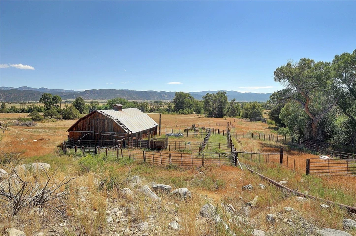
$1,225,000 - 94 ac.
Chaffee County, CO

$1,975,000 - 30 ac.
Fremont County, CO
$3,350,000 - 9 ac.
Chaffee County, CO

$1,750,000 - 45 ac.
Fremont County, CO
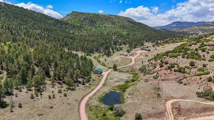
$2,100,000 - 104 ac.
Pueblo County, CO

$2,195,000 - 100 ac.
Saguache County, CO
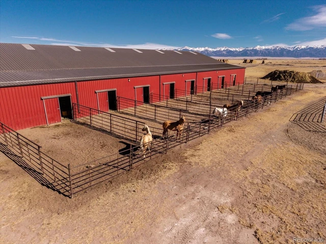
$4,750,000 - 1280 ac.