
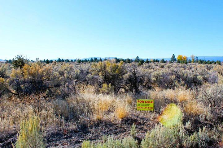
1 acre Lot in California Pines Lake Unit 1A! Big Seasonal Creek!
California Pines, CA | Lat/Lng: 41.4174, -120.6808
$6,997
1 ac.
11/13/2023
ACTIVE

Description
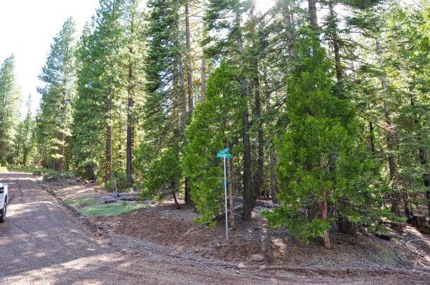
Seller financing for just $149 per month! Large corner lot in California Pines Lake Unit 1A with a good size SEASONAL CREEK! Less than 1/2 mile from the main lake! Great views from the property including mountain views and you may even get some peaks of Mt. Shasta! This one also has a small seasonal creek that passes through the NW corner!
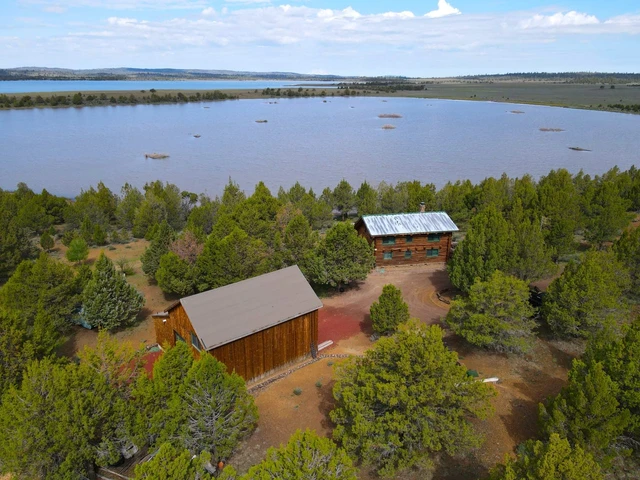
There are a few ponds up in the hill units as well (about 7 miles away) that are stocked with fish in the area as well as the main reservoir up by the lodge (about 1/2 mile away). The fishing there is among the best I have experienced - one after another! The roads are maintained by the POA and are pretty nice for dirt roads. If you live there, they will also plow the road to your residence. This one already has a few neighbors and is in the lower elevation Lake Unit so you will be just fine anyway! This is a great and quiet neighborhood. You do need permission to cut down a tree over 4 inches in diameter and the minimum building size is 1,000 sq. ft. You can bring in a mobile home, but it has to be new. Camping is limited to 2 weeks at a time.
The POA fees are $105 per year and cover quite a few things- road maintenance, snow plowing, maintenance of the lodge (you get a discount) and stocking the lake and ponds with fish and maintaining the ponds. You really get a lot for your money! There is also an airport if you're a pilot. They also have a BBQ area by the lake, a playground and swimming pool that is open during the summer!
Parcel Number: 036-082-030-000
Property Description: 0.908 Acres in Alturas, Modoc County, CA
Legal Description: Lot 43, Block 17, Lake Unit 1-A
Street Name: Riviera Road (Culdesac)
Size: 0.908 Acres
GPS Coordinates to Center: 41.417348, -120.680787
GPS NW Corner: 41.417619, -120.681204
GPS NE Corner: 41.417759, -120.680692
GPS SW Corner: 41.416937, -120.680882
GPS SE Corner: 41.417076, -120.680370
Elevation: 4369 feet
County and State: Modoc County, California
Views From Property: Beautiful Mountain and Valley Views!
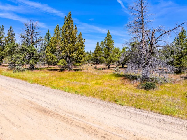
Terrain: Flat with meadow grass, sage and a few trees. Seasonal Creek!
Land Use Code: 30 High Density Residential
Water: Water well needed.
Sewer: Septic system needed.
Power: Approx. 690 feet from the SW Corner of property
Nearest Road: On Riviera Road
Nearest Major Freeway: 0.15 miles from HWY 54
Time Limit to Build: 6 months from time permit pulled. Can remain vacant.
Tax Per Year: $47.80 POA fees: $105/Yr.
0.76 miles from Donovan Reservoir, 2.03 miles from Canyon Creek, 3.11 miles from Rattlesnake Butte, 7.90 miles from Hermit Butte, 8.62 miles from Alturas, 9.99 miles from Canby, 9.37 miles from Browns Pond, 9.89 miles from Rainbow Pond.
As always, we guarantee everything to be up to date as far as taxes, POA fees and absolutely NO LIENS! GUARANTEED!
We have some great terms as well:
Total Purchase Price: $7,997.00
$299 Down (Includes non-refundable $299 document fee)
$179 per month
9.99% Fixed Rate APR - fully amortized!
No pre-payment penalty
10% Discount off purchase price if paid off in 6 months!
30 day money back guarantee! (minus doc fee).
**Property taxes will be calculated along with POA fees and will be impounded into the monthly payment. This will add about $15 per month to the payment.
This property is not yet listed on our website. Request your complimentary property report with high quality pictures by sending me an email!
WE HAVE A LOT OF PICTURES!!!
Details
County: Modoc
Zipcode: 96101
Property Type One: Recreational Property
Property Type Two: Residential Property
Property Type Three: Undeveloped Land
Brokerage: Western Outdoor Properties
Brokerage Link: www.westernoutdoorproperties.com
Apn: 036-082-030-000

Mark Fontaine
Western Outdoor Properties
(925) 978-6695
By clicking the button, you agree to our Terms of Use and Privacy Policy.


Nearby Listings
Modoc County, CA
$7,950 - 1 ac.
Modoc County, CA

$8,221 - 1 ac.
Modoc County, CA
$3,950 - 1 ac.
Lassen County, CA

$3,199,000 - 962 ac.
Modoc County, CA

$5,185 - 1 ac.
Shasta County, CA

$5,400,000 - 451 ac.
Lassen County, CA
$895,000 - 720 ac.
Lassen County, CA

$1,200,000 - 1760 ac.
Modoc County, CA

$129,997 - 40 ac.
Modoc County, CA
$7,997 - 1 ac.