Millbury, MA - BUY TODAY $35k Down or $159k CASH
Auburn Rd, Millbury, MA | Lat/Lng: 42.1919, -71.7929
$159,497
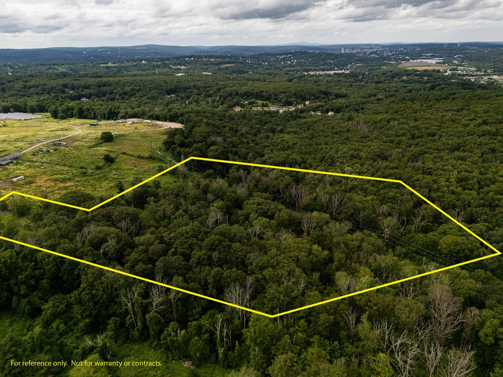
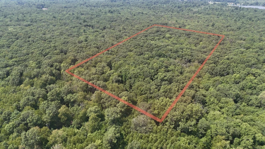
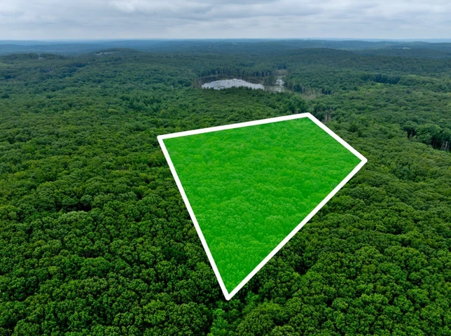
13.4 ac.
07/28/2025
ACTIVE

Description
Pricing Details:
Seller Financing: $35,089.34 Down | $2,664.39 per month
Heres your opportunity to own an impressive 13.40-acre parcel located in the heart of Millbury, MA, within Worcester County. The property offers access via a public way from Dwinell Rd, situated on the east side of the lot. A recorded plat is available for review. Zoned within the Suburban-I district, the land allows for single-family home development. Conveniently located near Auburn Rd, this property provides close proximity to essential amenities. Its just minutes from Route 20 and the Mass Pike (I-90), offering easy access to Millburys town center, the Shoppes at Blackstone Valley, local schools, and nearby towns such as Auburn and Worcester. Buyers are encouraged to perform their own due diligence to confirm buildability, utility access, zoning, and permitted uses. Owner financing is available, contact us today to learn more about this exceptional opportunity!
Millbury, MA - BUY TODAY $35k Down or $159k CASH
Owner Financing is available - Ask for more info.
Call (346) 200-4059 for more information
Property Details:
Parcel Number: 50_27
County: Worcester
State: MA
Parcel Size: 13.4 Acre
City: Millbury
Zip Code: 01527
Center GPS Coordinates:
42.1919, -71.7929
Access: Dirt Rd
Buyer must perform their own due diligence they should do with any land purchase. This property is an assignment of contract and sold as-is and all information provided is to the best of the sellers knowledge. Seller does not guarantee the accuracy of the property location on maps or descriptions shown in listing as well as facts describing the property. Buyer to verify all details of the property including property location and boundaries and lot lines, as well as feasibility to use the property for buyers desired purpose. Many of the pictures provided are not personally taken by the seller and some of the presented pictures represent the general area near/around the property. All utilities related to this property are potentially subject to a connection charge or additional expense to bring them to or onto the property. Furthermore, It is understood and agreed to by the parties involved that the selling party, while holding an equitable interest in and to the property, is not presently making, and has not made, any representation to any party that it holds legal title in and to the property. To the fullest extent permitted by law, the Buyer hereby agrees to waive, release and forever discharge landnopoly dot com, Landnopoly dot com, and all its affiliate companies from any claim, be it at law or in equity, that the Buyer, their heirs, transferees, assigns, subrogees, devisees, and agents may allege, arising out of our disclosure(s) of its present interest in and to the property, if any as well as out of any potential and accidental discrepancies in lot lines, pictures or property location to the actual property.
Details
County: Worcester
Zipcode: 01527
Property Type One: Recreational Property
Property Type Two: Timberland
Property Type Three: Undeveloped Land
Brokerage: Land Fast Offers, LLC
Brokerage Link: www.landnopoly.com/
Apn: MILB-000050-000000-000027

Timothy Ebie
Land Fast Offers, LLC
(346) 200-4059
By clicking the button, you agree to our Terms of Use and Privacy Policy.


Nearby Listings
Hampshire County, MA

$599,990 - 6 ac.
Worcester County, MA

$56,000 - 5 ac.
Bristol County, MA
$156,497 - 5 ac.
Hampden County, MA

$280,000 - 64 ac.
Worcester County, MA

$890,000 - 286 ac.
Worcester County, MA
$119,497 - 17 ac.
Hampden County, MA

$259,900 - 29 ac.
Franklin County, MA

$94,900 - 6 ac.
Worcester County, MA

$685,000 - 200 ac.
Windham County, CT

$575,000 - 103 ac.