

319.09 Acres - Pivot Irrigated Cropland - Custer County, NE
77944 414 Drive, Gothenburg, NE | Lat/Lng: 41.1257, -100.1120
$3,190,000
319.09 ac.
08/31/2026
ACTIVE
Description
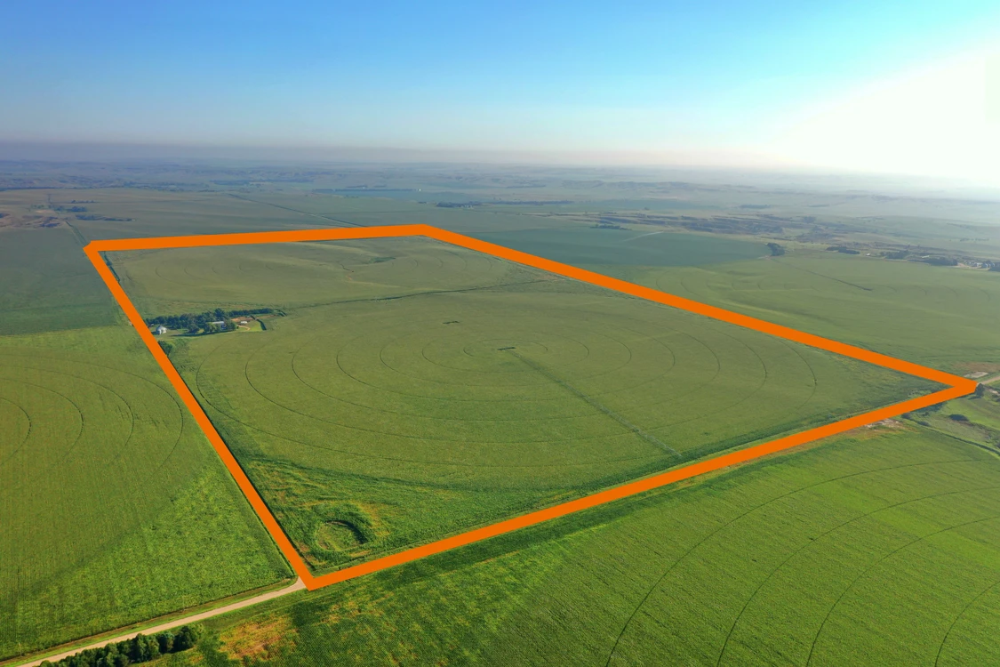
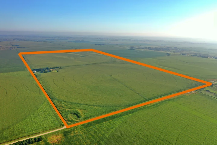
319.09± acres of good-quality pivot irrigated and non-irrigated cropland in Custer County, featuring two 7-tower pivots, an electric irrigation well, home, large steel-frame building, grain storage, and cattle facilities.
Land Location: From Gothenburg, 14 miles north on Hwy 47, then 2 miles east on 780 Drive, then 2 miles southeast on Drive 412, then 1 mile east on Rd 779
Legal Description: The East Half of Section 6, Township 13 North, Range 24 West of the 6th P.M., Custer County, Nebraska
About the Land: 319.09 acres, more or less, according to Custer County Assessor’s records. This well-improved Custer County property offers a combination of good-quality pivot irrigated cropland and non-irrigated cropland, along with an established farmstead and extensive agricultural improvements.
Irrigation is provided by a newer 7-tower Reinke pivot sprinkler system, an additional 7-tower pivot sprinkler system, and an electric irrigation well equipped with a 10? pump column. The property also includes an older registered irrigation well that is not currently in use.
The farmstead includes a 1½-story home, 3 bed/2 bath with additional plumbed in bathroom downstairs, 50' x 79' Co-Op Farmlander steel-frame building, grain bins, cattle facilities, and additional sheds. Together, the cropland, irrigation improvements, and established building site provide a versatile property for an agricultural operation.
Soils: 44.6% Hall silt loam rated as Class 1 & 2, 38.2% Holdrege silty clay loam rated as Class 3, 10.2% Hobbs silt loam rated as Class 2, the remainder Holdrege & Uly-Coly silt loams rated as Class 4.
Farm Service Agency: Total Cropland – 302.34 acres, Corn base – 275.9 acres, Soybeans base – 18.3 acres
Natural Resources District: The land is located in the Central Platte NRD and has certified irrigation rights for 289.65 acres.
Well Data: (per registration) G-123610, September 2003, 400ft. deep, 295ft. static water level, 370ft. pumping level, 10” pump column; G-033026, July 1970, 390ft. deep, 257ft. static water level, 320ft. pumping level, 11” pump column
2025 Taxes: $11,257.08
Price: $3,190,000
10% Earnest money deposit upon signing purchase agreement. The remainder at closing.
Details
County: Custer
Zipcode: 69138
Property Type One: Farms
Property Type Two: Residential Property
Brokerage: Marshall Land Brokers & Auctioneers
Brokerage Link: www.marshallauction.com

Luke Huddleston
Marshall Land Brokers & Auctioneers
(308) 234-6266
By clicking the button, you agree to our Terms of Use and Privacy Policy.


Nearby Listings
Lincoln County, NE
$995,000 - 625 ac.
Dawson County, NE
$1,690,000 - 1 ac.
Lincoln County, NE
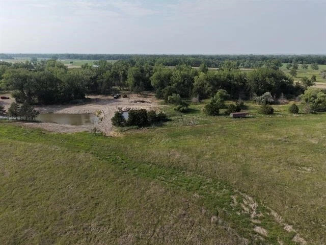
$270,000 - 45 ac.
Dawson County, NE
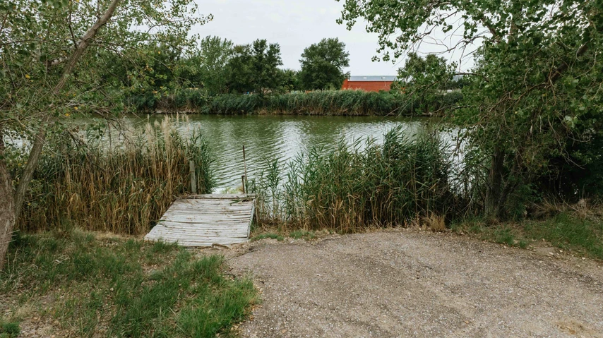
$230,000 - 19 ac.
Lincoln County, NE
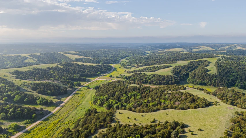
$7,504,000 - 4480 ac.
Dawson County, NE
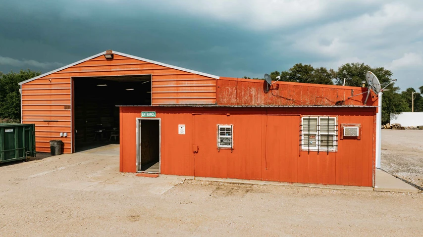
$275,000 - 3 ac.
Dawson County, NE

$1,895,000 - 60 ac.
Lincoln County, NE
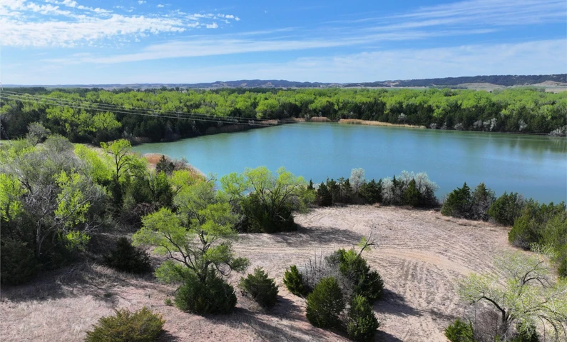
$880,000 - 112 ac.
Lincoln County, NE
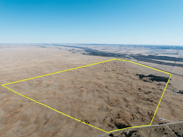
$2,100,000 - 1084 ac.
Lincoln County, NE
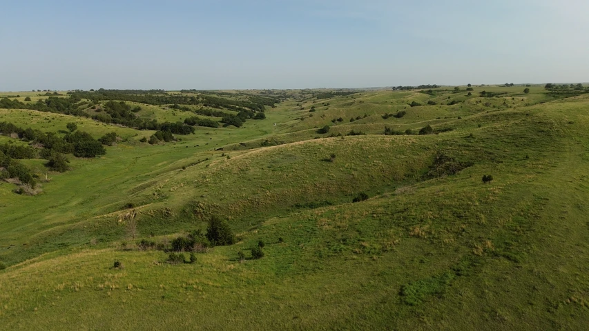
$1,135,000 - 686 ac.