
Mountain Vibes Only | 0.45 Acres in NC with Zero Zoning, Big Possibilities!
36.056953, -82.233626, Bakersville, NC | Lat/Lng: 36.0570, -82.2337
$9,999
0.45 ac.
05/13/2025
ACTIVE


Description
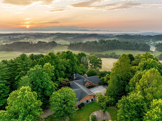
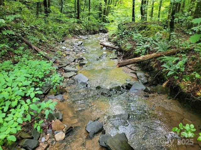
Experience the tranquility of mountain living with this 0.45-acre property located on Bad Creek Rd in beautiful Bakersville, North Carolina. Surrounded by the natural beauty of Mitchell County, this parcel offers an ideal setting for those seeking privacy, scenic views, and a connection with nature.
Property Details:
Parcel Number: 0845-00-45-3220
Alternate ID: 555555986
Acreage: 0.45 Acres
Square Feet of Land: 19,602 sq ft
Property Address: Bad Creek Rd, Bakersville, NC 28705
Municipality: Harrell
County: Mitchell
State: North Carolina
Legal Description:
Abbreviated Legal: Acres = 0.47 Bad Creek Rd
Complete Legal: Beginning on a rock in Monroe Garland’s old line and runs North 85° East with the old line 20 poles to a small Dogwood in said line at the Public Road; thence North 65° West 12.5 poles to a bunch of black gum sprouts on the point of a ridge; thence South 65.5° West 9 poles to a white oak on the North side of the road; thence in an easterly direction on the North side of the Highway, 2 poles to the beginning.
Subdivision: N/A
Location Coordinates:
GPS Center: 36.056953, -82.233626
GPS NW: 36.057125, -82.233703
GPS NE: 36.056903, -82.233000
GPS SE: 36.056803, -82.234053
GPS SW: 36.056881, -82.234183
Land & Features:
Zoning Code: Unincorporated Area (Not Subject to Zoning Regulations)
Land Use Type: Agricultural Land
Land Cover:
Deciduous Forest: 82%
Developed Open Space: 18%
Soil Type: Fannin sandy clay loam, 30-50% slopes, eroded
Road Surface: Paved
Road Access: Direct access via B and B Rd
Waterfront Access: No
Wetlands: Near wetlands, not touching the property
Topography: Wooded, Rolling Slope, Long Range Mountain Views
Flood Zone: Not in a Flood Hazard Area
Elevation: High: 2641 ft | Low: 2575 ft
Slope: 1.7%
School District: Mitchell County Schools
Adjacent Property Owners: Private Owners
Borders Public Land: No
City Limits: No
Utilities:
City Water: No
City Sewer: No
Electric: Available
Why This Property?
Unrestricted Freedom: Located in an unincorporated area with no zoning restrictions—build a cabin, set up a homestead, or design your off-grid sanctuary.
Mountain Views & Natural Beauty: Enjoy breathtaking views of rolling hills and lush deciduous forests right from your doorstep.
Prime Access & Privacy: Paved road access ensures smooth travels while maintaining a sense of seclusion.
Ideal for Recreation & Living: Perfect for outdoor enthusiasts, this property is close to hiking trails, fishing spots, and the Blue Ridge Parkway.
Secure Your Slice of North Carolina Today!
With its prime location, unrestricted possibilities, and stunning mountain scenery, this 0.45-acre parcel in Bakersville, NC is a rare find. Whether you're looking to build, invest, or simply escape to nature, this land offers a canvas for your vision.
Details
County: Mitchell
Zipcode: 28705
Property Type One: Recreational Property
Property Type Two: Residential Property
Property Type Three: Undeveloped Land
Brokerage: LandyDandy
Brokerage Link: landydandy.com
Apn: 084500453220

Mason Bechler
LandyDandy
(919) 348-4675
By clicking the button, you agree to our Terms of Use and Privacy Policy.


Nearby Listings
Avery County, NC
$199,900 - 1 ac.
Madison County, NC
$19,900 - 2 ac.
Avery County, NC
$69,900 - 4 ac.
Madison County, NC

$499,111 - 62 ac.
Yancey County, NC
$3,250,000 - 203 ac.
Buncombe County, NC
$3,250,000 - 65 ac.
Buncombe County, NC

$2,450,000 - 84 ac.
McDowell County, NC
$812,500 - 125 ac.
Madison County, NC

$2,900,000 - 52 ac.
Washington County, TN
$1,900,000 - 26 ac.