

25± Acre Former Produce Stand, Tillable Farmland And Hwy Frontage
2740 Hwy 71, Maxton, NC | Lat/Lng: 34.7800, -79.3200
$299,000
25 ac.
08/17/2026
ACTIVE
Description
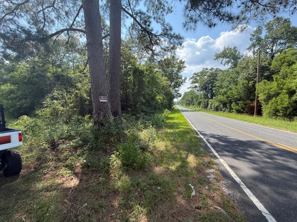
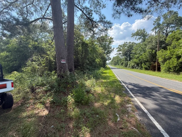
25 acres consisting of three tracts, offering a combination of open agricultural land, an existing structure, and approximately 4 acres of timber. The property includes a structure formerly used as Henderson Produce, providing an existing improvement with a history of agricultural-related use. The rear portion of the property consists primarily of tillable, while approximately 4 acres are wooded with natural timber. The property benefits from frontage along NC Hwy 71 and Oxedine School Rd, including frontage at the intersection of the two roads, providing convenient access and visibility. The property is zoned Residential Agricultural. The existing structure and any current or future use of the property are subject to applicable county regulations, permits, and zoning requirements. Buyers are encouraged to verify zoning, permitted uses, building information, utilities, acreage, and all other property details during due diligence. With approximately 25 acres across three tracts, agricultural acreage, timber, an existing structure, and prominent road frontage, this property offers a variety of potential rural and agricultural uses.
Details
County: Robeson
Zipcode: 28364
Property Type One: Farms
Property Type Two: Recreational Property
Brokerage: Whitetail Properties Real Estate
Brokerage Link: https://land.com

Brigston Vardy
Whitetail Properties Real Estate
(919) 320-5176
By clicking the button, you agree to our Terms of Use and Privacy Policy.


Nearby Listings
Bladen County, NC
$825,000 - 152 ac.
Marlboro County, SC

$2,350,000 - 241 ac.
Robeson County, NC
$6,631,300 - 102 ac.
Scotland County, NC
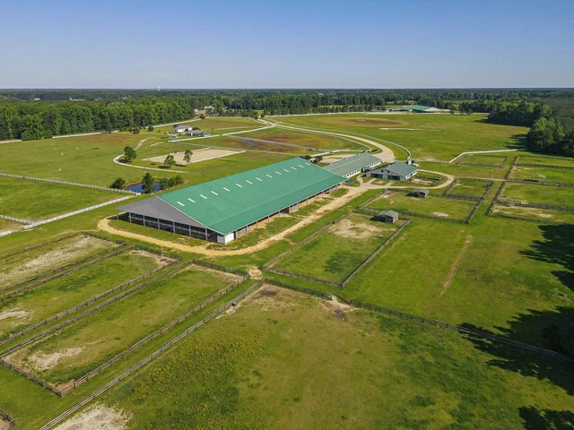
$4,800,000 - 278 ac.
Moore County, NC
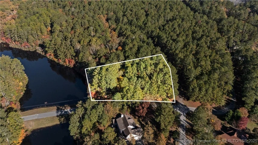
$189,000 - 1 ac.
Marlboro County, SC
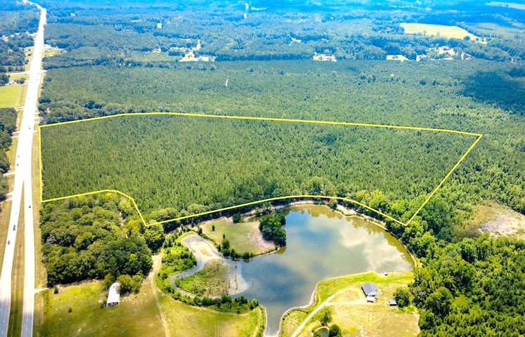
$229,000 - 47 ac.
Dillon County, SC
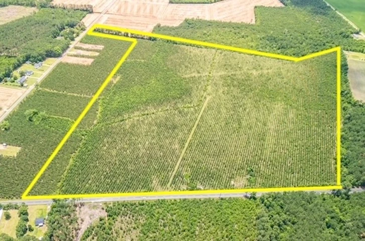
$379,000 - 77 ac.
Marlboro County, SC
$189,000 - 54 ac.
Richmond County, NC
$984,375 - 281 ac.
Robeson County, NC
$1,250,000 - 283 ac.