30 acres in Tuolumne County, CA
21901 Marcus Lane, Sonora, CA | Lat/Lng: 38.0185, -120.3759
$389,000
30 ac.
02/04/2026
ACTIVE

Description
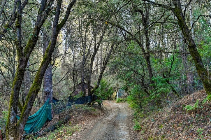
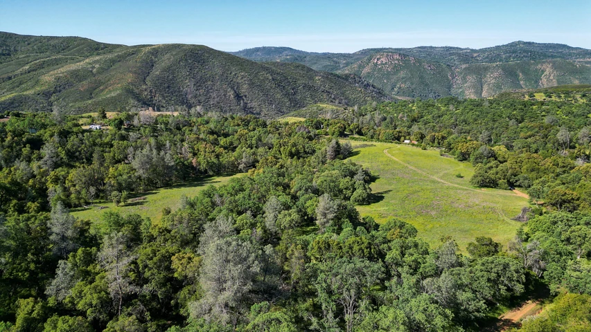
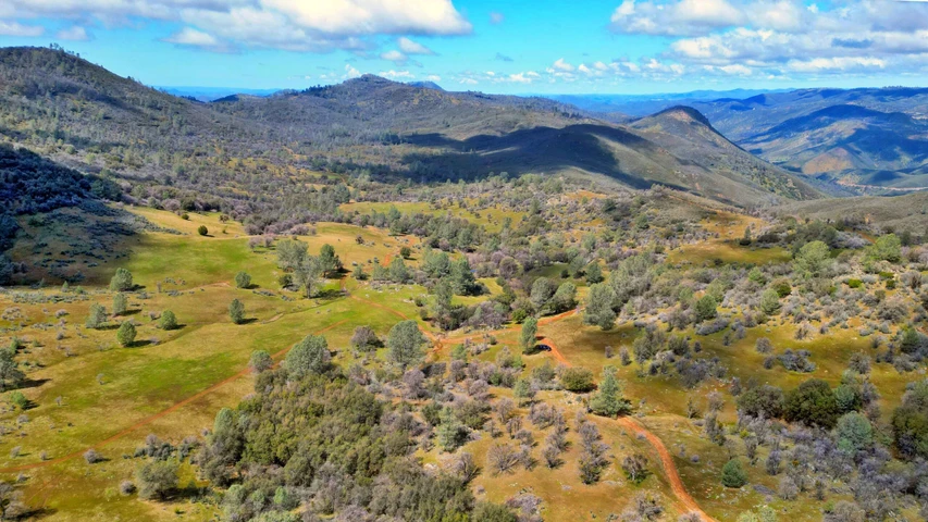
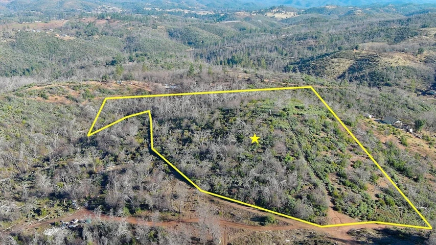
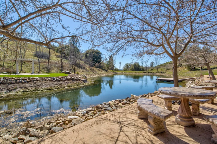
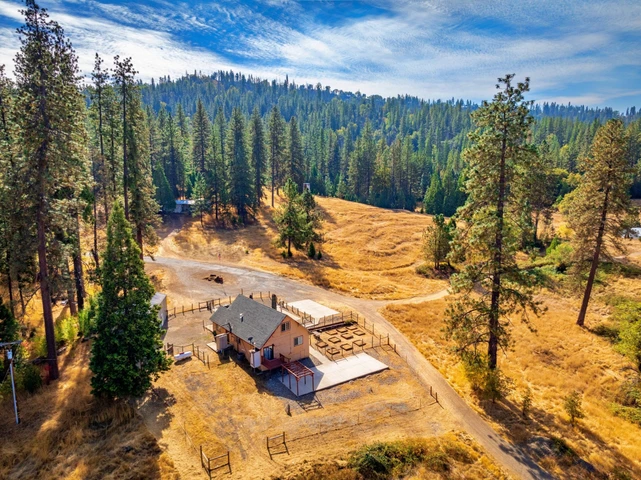
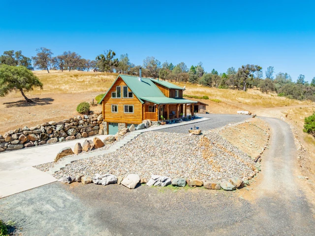
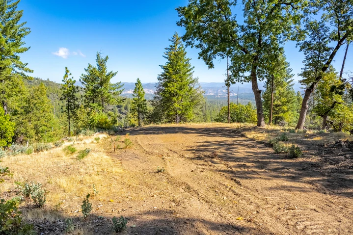
Gold Fever? Now is the time to act with Gold reaching $4,105 per oz. as of 10/22/25; up $40 since 10/21/25. The Price of Gold has risen 8.44% in 30 Days, 21.46% in 6 months, 48.12% in 12 months and 112.94% in 5 years. These 2 Parcels totaling 30 Acres (20 + 10) are the Hilton McPherson Mine, and are in a MRZ-2b Mining Zone. We have a 71 Page Report from a local Mining Historian on the Hilton-McPherson Mine and the immediate Sawmill Flat and Browns Flat Area, one of the richest Gold Reserve areas in the Mother Lode. Ask John to email you this report. This report explains in detail the History of the Mine and the area, and the MRZ -2b Designation. Visiting this property is like going back in time to the late 1800's, with old Mining Cabins and Structures, an area that was hydraulically mined, numerous Tailing Piles, Stone Walls and foundations, and an open Mine Shaft believed to be on this parcel (fenced for safety) that can be explored when you own the parcel. The Seller is available to share his knowledge of the Land and Gold Fields. His plan was to use a "Long Reach Excavator," scrape the Cliff face near the "Upper Pad," and process the Dirt/Ore for Gold and other Minerals. The owner stated that 3 corners of the property were surveyed a number of years ago. Satellite Mapping Software shows the Boundaries to include the Mine Shaft pictured in this Listing. All Boundaries and Corners to be verified by the Buyer(s). Access to the "Upper Pad" is through a BLM gate that the owner states he has Deeded Access to use. The Preliminary Title Report is available. 2 Parcels Total. The APN# of the 2nd Parcel is - 085-010-016-000. The pictures of the "Ford" Mine are at the end of the drivable Road leading to the upper portion of these Parcels, but not on this 30 Acre Parcel(s), which was the Hilton-McPherson Mine. The View Pictures shown are similar to the Views from the very upper portion of these parcels, and were shot from adjacent BLM Land further up the aforementioned BLM road. We were unable to access many of the old roads on these parcels, although, with a 4-Wheeler and some brushing, most of the land should be accessible. The Seller states that this was the case years ago. The Owner may carry a Note with 20% to 25% down to qualified Buyers. Ask John for details. Local Legend has it that Joaquin Murrieta had a hide-out in this immediate area, and that his Lost Gold may be buried nearby.
Details
County: Tuolumne
Zipcode: 95370
Property Type One: Undeveloped Land
Brokerage: Friend's Real Estate Services
Brokerage Link: www.friendsrealestateservices.com/
Apn: 085010015000


Nearby Listings
Tuolumne County, CA
$885,000 - 473 ac.
Tuolumne County, CA
$849,000 - 440 ac.
Amador County, CA

$270,000 - 40 ac.
Calaveras County, CA

$26,900 - 0 ac.
Calaveras County, CA
$59,997 - 14 ac.
Calaveras County, CA
$1,350,000 - 127 ac.
Tuolumne County, CA
$1,950,000 - 480 ac.
Mariposa County, CA
$735,000 - 22 ac.
Calaveras County, CA

$3,399,000 - 745 ac.
Tuolumne County, CA
$250,000 - 41 ac.