
Copiah 100
2134 Rials Rd, Georgetown, MS | Lat/Lng: 31.8395, -90.1831
$350,000
100 ac.
07/28/2025
ACTIVE

Description
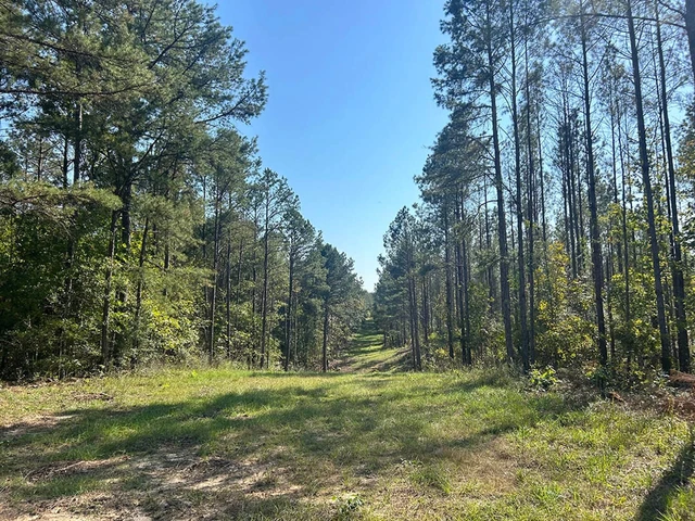
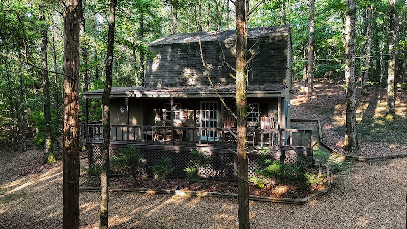
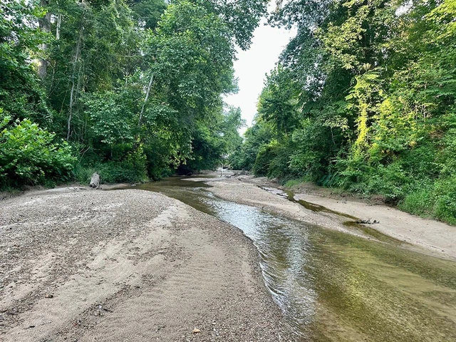
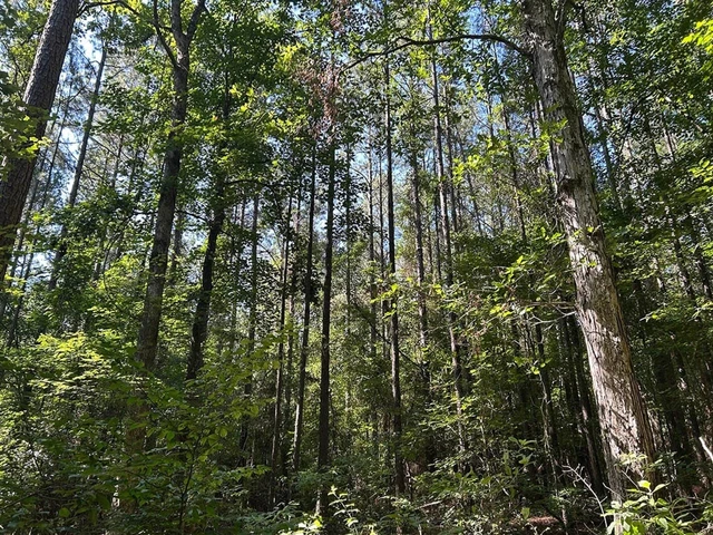
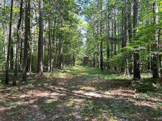
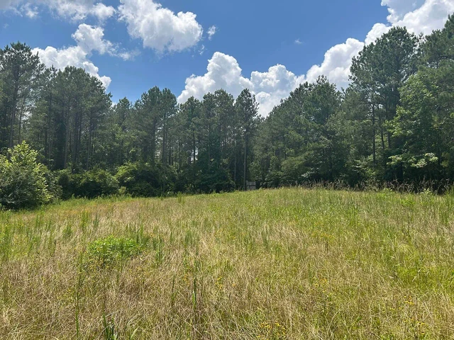
INTRODUCING THE COPIAH 100, LOCATED JUST TWO MILES SOUTHWEST OF GEORGETOWN IN COPIAH COUNTY, MISSISSIPPI. Three things stand out here: growing timber investment, plentiful road frontage, and tons of turkey sign. The timber makeup includes approximately 90 acres of recently thinned pines, planted somewhere around 2006/2007, with the remainder being in hardwood timber. The thinning should have the timber investment on its way, all while making the hunting that much better. Hardwoods run east and west along a small clearwater creek that eventually drains into the Pearl River less than one mile east of the property, creating a perfect travel corridor and water source that should keep the deer and turkey using the place. The internal road system is excellent, making its way to most everywhere on the property. The 2,800+ frontage feet along Rails Road and the 1,700+ frontage feet along Knight Road allow for multiple options: buy the land and keep a sizable tract and/or hold it for future division. The ample road frontage also allows for multiple entrances, so you don't blow out your entire property on each hunt. Additionally, the Copiah 100 offers a few nice cabin/house sites to choose from if you're looking for a place to build. The utility providers include Southern Pine EPA and Copiah Water Association. Finally, the TURKEY hunting should be phenomenal here. Upon initial inspections, tracks were EVERYWHERE!!! Also, the property could be set up on a burn rotation to maximize habitat and turkey use. The current owners have only turkey hunted the property a few times with success each time. Trail cameras are out, catching turkeys on the move almost daily. The location is perfect, being just 13 miles east of I-55 and about one hour south of the Jackson Metro Area. If you have been looking for an excellent turkey hunting tract with multiple investment avenues, give Michael Oswalt a call today to schedule your private tour of the Copiah 100! Location:
Rails Road Georgetown, MS 39078
Copiah County
13 Miles SE of I-55 in Crystal Springs
60 Minutes S of the Jackson Metro Area
Coordinates:
31.8395, -90.183
Property Use:
Recreational
Hunting
Investment
Cabin/Home Sites
Tax Information:
2023 Taxes will be Calculated at Closing
Parcel #: 1-133-15-013.00 (Part Of)
Property Information:
100 Acres
Recently Thinned Pines
Pipeline for Wildlife Plots
Hardwood Draw
Clearwater Creek
Internal Road System
Water & Power at the Road
4,500+ Feet of Road Frontage
Multiple Entrances
Wildlife Plots in Place
Turkeys, Turkeys, & More Turkeys
Additional Acreage Available
Details
County: Copiah
Zipcode: 39078
Property Type One: Undeveloped Land
Brokerage: Smalltown Hunting Properties & Real Estate
Brokerage Link: https://land.com

Michael Oswalt
Smalltown Hunting Properties & Real Estate
(662) 719-3967
By clicking the button, you agree to our Terms of Use and Privacy Policy.


Nearby Listings
Hinds County, MS

$3,100,000 - 660 ac.
Hinds County, MS

$90,000 - 13 ac.
Jefferson Davis County, MS

$1,175,000 - 126 ac.
Simpson County, MS
$259,000 - 40 ac.
Copiah County, MS

$692,000 - 192 ac.
Marion County, MS

$480,000 - 79 ac.
Copiah County, MS
$309,795 - 55 ac.
Rankin County, MS
$279,000 - 40 ac.
Rankin County, MS
$799,000 - 203 ac.
Rankin County, MS
$500,000 - 104 ac.