Timberland adjacent to De Soto National Forest
TBD Hwy. 29, Janice, MS | Lat/Lng: 31.0255, -89.0367
$157,000
40 ac.
11/21/2025
ACTIVE
Description
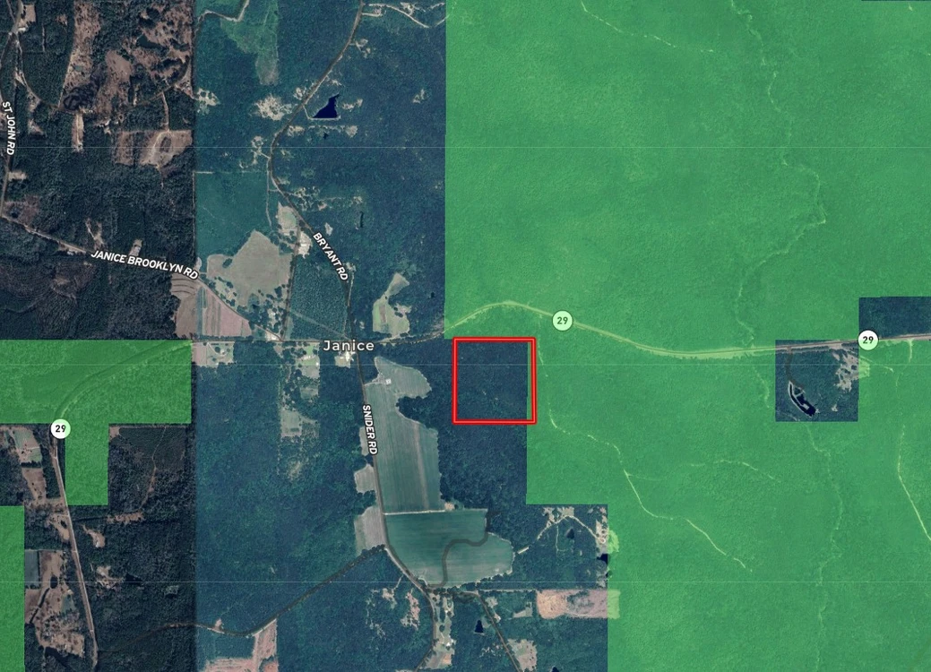
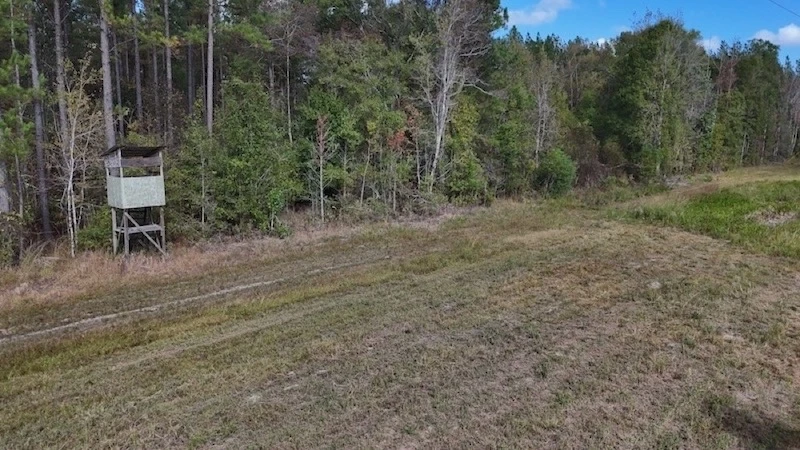
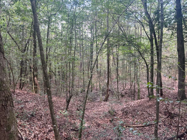
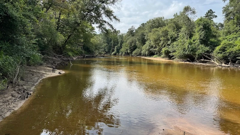
Forty acres of timberland that's adjacent to De Soto National Forest. This hunting land consists of a 30+-year-old pine timber stand and is situated on high ground that is not in a flood zone. There is a deeded 40-foot-wide right-of-way that leads to the property from Highway 29. The topography is rolling, and a small creek runs along the south side of this land. You can use this land for recreation, homesteading, timber investment, hunting, and many other purposes. De Soto National Forest borders the north and western boundary of this land, which is over 500,000 acres of public land you can access. The east side and south side of this property borders timberland and some farmland. You will be able to harvest game that is headed to the farmland, coming from the national forest. This property is situated in the Janice area. Brooklyn is 9+ miles away, Oak Grove is 3+ miles, and Wiggins is 13+ miles. The timber on this land could be harvested for an immediate return on your investment. The right-of-way was recently surveyed. The soils on this land primarily consist of a Bennedale-Smithdale Complex. There are no restrictions and the coordinates to the property are 31.02582, -89.03261. Call today for more information.
Details
County: Perry
Zipcode: 39425
Property Type One: Recreational Property
Property Type Two: Timberland
Brokerage: Brown Realty Co. of Rayville, Inc.
Brokerage Link: https://land.com
Nearby Listings


