5.1 acres in Ozark County, Missouri
Dora, MO | Lat/Lng: 36.6256, -92.2151
$25,000
5.1 ac.
02/19/2025
ACTIVE
Description
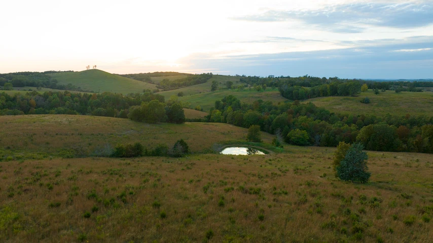
Pristine 5.1 Acres of Ozark Wilderness
Location: Just off County Road 345, Bull Shoals Lake Area, Missouri
Coordinates: 36.62562, -92.21508
Property Highlights
-5.1 acres of beautiful wooded terrain
-Secluded natural setting with abundant wildlife
-Perfect for camping, hunting, or building your dream cabin
-Easy access via County Road 345
Nearby Amenities
-Devils Backbone Wilderness (15 miles north of property): Part of the Mark Twain National Forest featuring: Miles of scenic hiking trails.
Amazing camping opportunities.Stunning waterfalls and vistas. Horseback riding trails. Access points to the North Fork of the White River (renowned for smallmouth bass and trophy trout fishing)
-West Plains, Missouri (20 miles away):Full-service shopping including Walmart. Hardware stores and building supplies. Restaurants and entertainment. Medical facilities. All essential services
The Perfect Balance
Enjoy the serenity of Ozark Mountain living while maintaining convenient access to modern amenities. This property offers the ideal combination of privacy and accessibility.
Details
County: Ozark
Zipcode: 65637
Property Type One: Recreational Property
Property Type Two: Residential Property
Property Type Three: Undeveloped Land
Brokerage: Price is Right Properties
Brokerage Link: https://www.priceisrightproperties.com/
Apn: 120931000000001003
Nearby Listings


