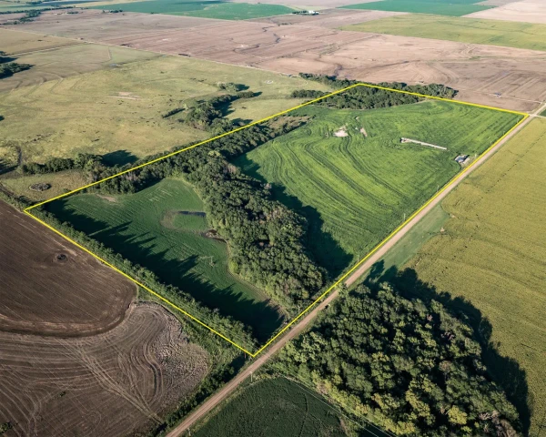
Rice County 87
1 Ave R, Raymond, KS | Lat/Lng: 38.2701, -98.4018
$208,800
87.27 ac.
09/04/2025
ACTIVE
Description
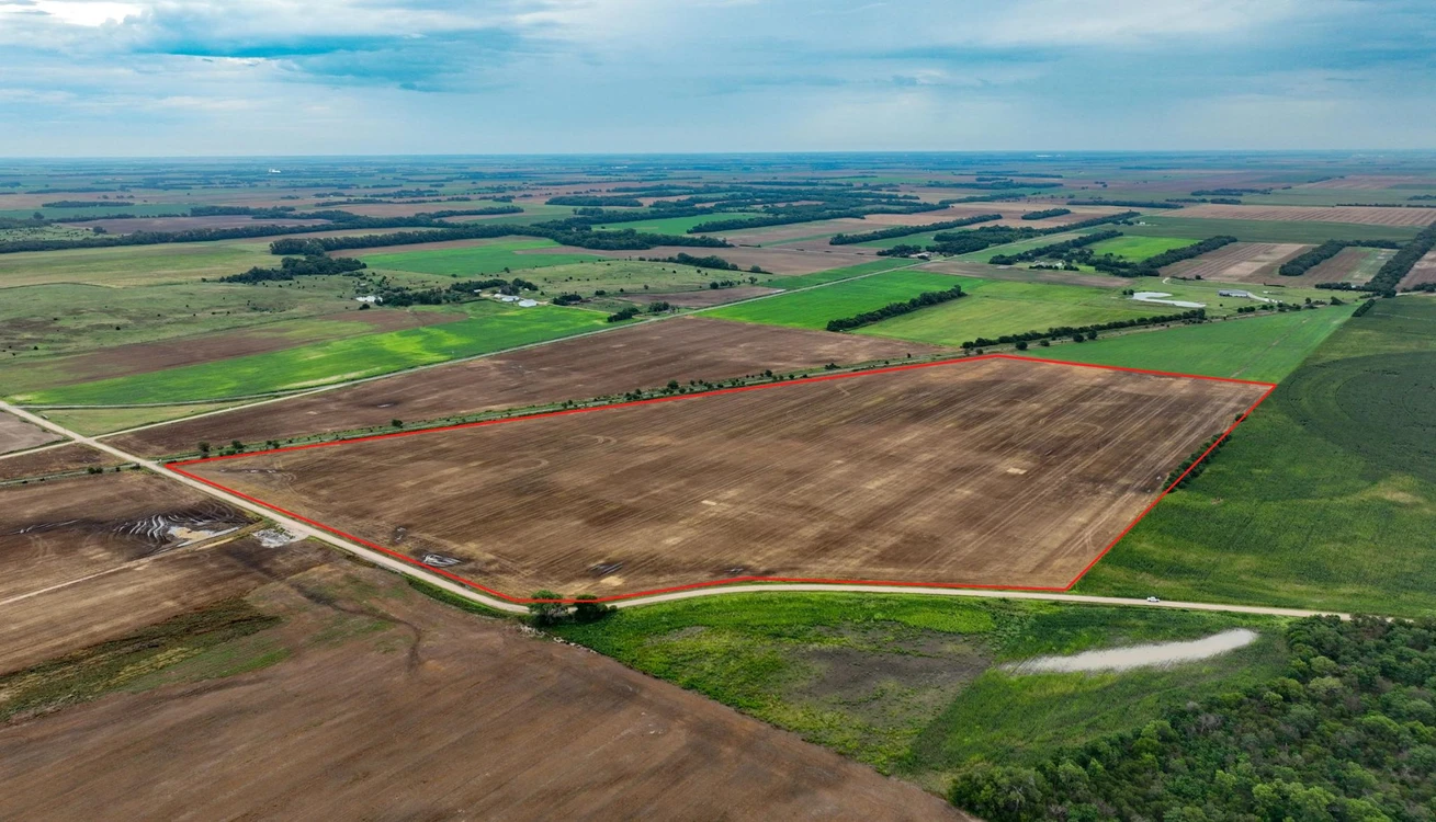
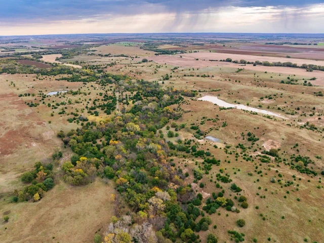
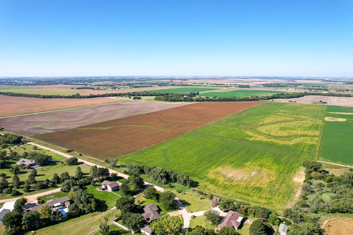
This 87.27-acre farm southeast of Raymond, KS offers strong crop potential near the Arkansas River, with clean ground, quality soils, and adjoining land available for expansion.
Land
Just southeast of Raymond in Rice County, this 87.27-acre tract presents excellent agricultural potential with an average NCCPI of 59.68. Positioned only 600 feet north of the Arkansas River, the property is well-suited for alfalfa or other high-yield crops. Former oil wells have been properly plugged and abandoned, offering peace of mind for clean, productive use. Neighboring tracts to the north and west are also available, creating an opportunity to expand your operation.
See attached FSA documents for full details and soil information.
Please contact the listing agent for more information on this property or to schedule a private showing. (**Financial verification is required**)
Legal Description: S35, T20, R10, Acres 87.27, Nw4 Ex Sw4 Nw4 S & W Of County Rd Less R/W.
Cropland Soils (Class 2 soils):
Canadian fine sandy loam, rarely flooded: 55.77 Acres
Kaski loam, rarely flooded: 30.82 Acres
Pratt loamy fine sand, 1 to 5 percent slopes: 0.68 Acres
Property Statistics:
Approximate 2024 Taxes: $783
Average yearly rainfall: 26
Average yearly snowfall: 13
State Deer and Turkey Hunt Unit: 5
Location/Community:
Borders the southeast edge of the City Limits of Raymond, Kansas (Population: 85)
13 miles northwest of Sterling, Kansas (Population: 2,318)
15 miles southwest of Lyons, Kansas (Population: 3,498)
15 miles north of Quivira National Wildlife Refuge.
22 miles east of Great Bend, Kansas (Population: 14,372)
25 miles southeast of Cheyenne Bottoms Wildlife Refuge: 41,000 acres of wetlands located in the Central Flyway. Critical migration point for migratory birds.
30 miles northwest of Hutchinson, Kansas (Population: 39,712)
80 miles northwest of Wichita, Kansas-Dwight D. Eisenhower International Airport (Population: 395,699)
Details
County: Rice
Zipcode: 67573
Property Type One: Farms
Property Type Two: Ranches
Property Type Three: Recreational Property
Brokerage: Hayden Outdoors Real Estate
Brokerage Link: https://www.haydenoutdoors.com/agents/j-c-bosch/
Apn: 1573500000002000
Nearby Listings

